
211, building in Winterbourne Monkton, Wiltshire, UK
Location: Winterbourne Monkton
GPS coordinates: 51.44808,-1.85683
Latest update: March 22, 2025 19:02
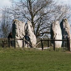
Avebury
2.2 km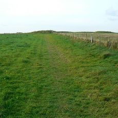
Windmill Hill
1.3 km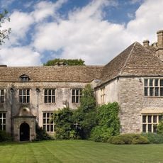
Avebury Manor and Garden
2.1 km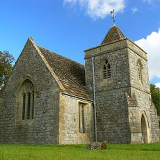
St Nicholas's Church, Berwick Bassett
1.4 km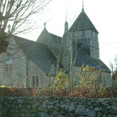
Church of St Mary Magdalene, Winterbourne Monkton
319 m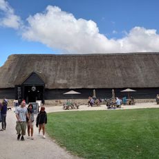
National Trust Museum
2.1 km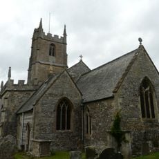
Church of St James
2.2 km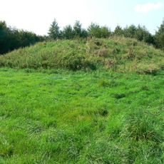
Group of four round barrows 500m south-east of Avebury Down Barn, forming part of a Bronze Age round barrow cemetery on Avebury
1.7 km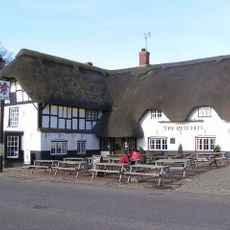
Red Lion Public House
2.2 km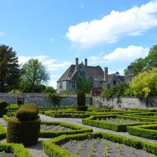
Walls To Rose Garden, South East Of Avebury Manor
2.2 km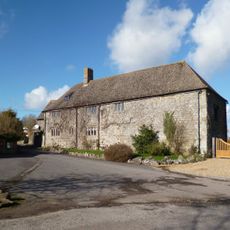
Manor House
1.3 km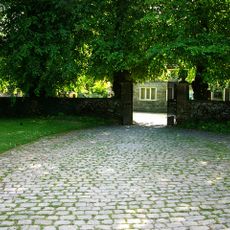
Garden Gate East Of Avebury Manor
2.1 km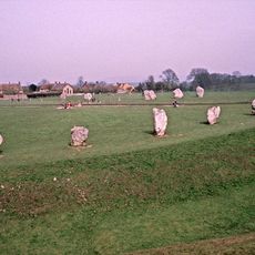
Avebury and Associated Monuments
2.2 km
Stones Restaurant
2.1 km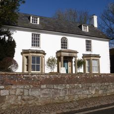
The Lodge
2.2 km
Silbury House
2.2 km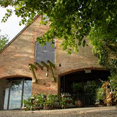
National Trust Shop
2.1 km
Penning bell barrow 600m east of Avebury Down Barn
1.6 km
Richardson medieval settlement
2.1 km
Eastern Gates To Avebury Manor
2 km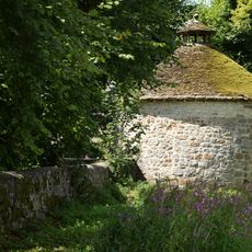
Dovecote at Avebury Manor
2.1 km
Milestone 160 Metres South Of Village Crossroads
1 km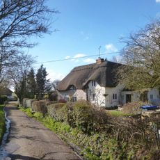
Little Thatch
412 m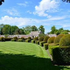
North Wall Of West Garden Of Avebury Manor
2.1 km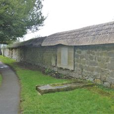
West Boundary Wall Of Churchyard
2.2 km
Norris Farm Stable
2.1 km
Racquets Court, Avebury Manor
2.1 km
Great Barn
2.1 kmReviews
Visited this place? Tap the stars to rate it and share your experience / photos with the community! Try now! You can cancel it anytime.
Discover hidden gems everywhere you go!
From secret cafés to breathtaking viewpoints, skip the crowded tourist spots and find places that match your style. Our app makes it easy with voice search, smart filtering, route optimization, and insider tips from travelers worldwide. Download now for the complete mobile experience.

A unique approach to discovering new places❞
— Le Figaro
All the places worth exploring❞
— France Info
A tailor-made excursion in just a few clicks❞
— 20 Minutes