
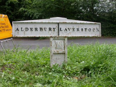
Parish Boundary Post, boundary marker in Clarendon Park, Wiltshire, UK
Location: Clarendon Park
Part of: political border
GPS coordinates: 51.05240,-1.75385
Latest update: March 9, 2025 07:15
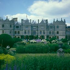
Longford Castle
1.5 km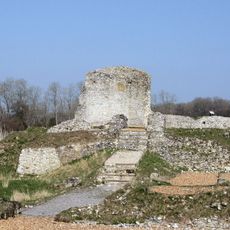
Clarendon Palace
2.2 km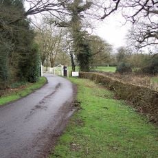
Clarendon Park
2.2 km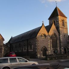
Church of St Osmund (Roman Catholic)
3.1 km
Church of St Martin, Salisbury
2.8 km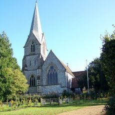
Church of St Mary
1.5 km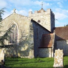
Church of St Peter
1.1 km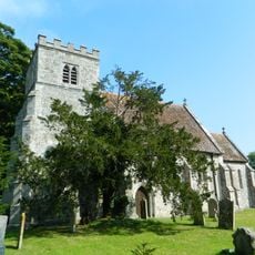
Church of St Mary
3 km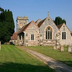
Church of St Andrew
2.5 km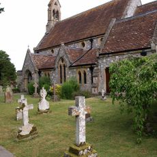
Church of St Andrew
3.1 km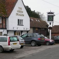
The Green Dragon Public House
1.1 km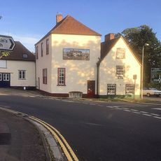
The Tollgate Inn Tollgate Inn
2.9 km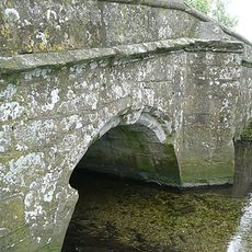
Milford Mill Bridge
2.3 km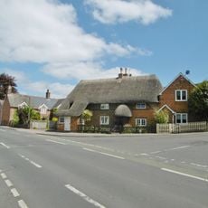
Thatch Cottage
3 km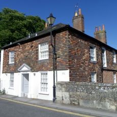
9 And 11, St Nicholas's Road
3.1 km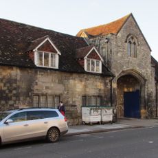
Bishop's Gate
3.1 km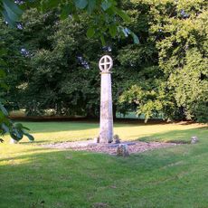
Alderbury War Memorial
1.2 km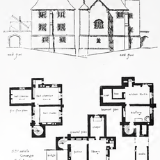
St Marie's Grange
40 m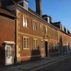
Trinity Almshouses Trinity Hospital
3.1 km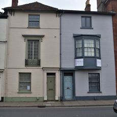
111 And 112, Exeter Street
3.1 km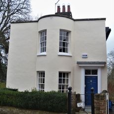
7, St Nicholas's Road
3.1 km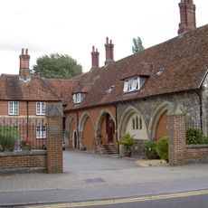
St Nicholas's Hospital
3.1 km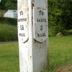
Milestone At Junction Of Clarendon Road With Southampton Road
1.5 km
Joiners' Hall
3 km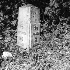
Milestone Opposite St Maries Grange
27 m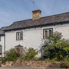
93, Milford Hill
3 km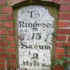
Milestone, High Road, Britford
1.7 km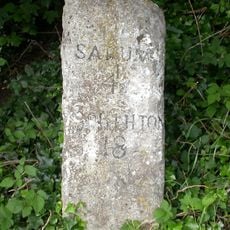
Milestone, Southampton Road; Whaddon; opp. jcn Castle Lane,
3 kmReviews
Visited this place? Tap the stars to rate it and share your experience / photos with the community! Try now! You can cancel it anytime.
Discover hidden gems everywhere you go!
From secret cafés to breathtaking viewpoints, skip the crowded tourist spots and find places that match your style. Our app makes it easy with voice search, smart filtering, route optimization, and insider tips from travelers worldwide. Download now for the complete mobile experience.

A unique approach to discovering new places❞
— Le Figaro
All the places worth exploring❞
— France Info
A tailor-made excursion in just a few clicks❞
— 20 Minutes