
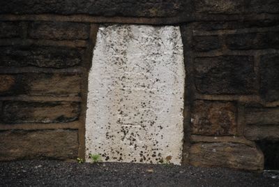
Boundary stone in eastern parapet of bridge at junction with Turbury Lane
Boundary stone in eastern parapet of bridge at junction with Turbury Lane, boundary marker in Calderdale, West Yorkshire, UK
Location: Calderdale
Part of: political border
GPS coordinates: 53.69487,-1.89631
Latest update: March 10, 2025 14:38
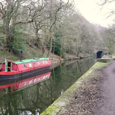
Rochdale Canal
1.8 km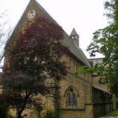
St Stephen's Church, Copley
1.6 km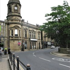
Lloyds Bank
1.8 km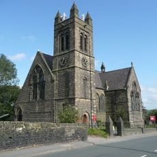
Church of St Thomas
1.7 km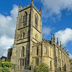
Christ Church
1.8 km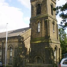
Church of St George
1.8 km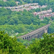
Copley Viaduct
1.4 km
Milepost To West Of Junction With Lane Running Behind Churchyard
1.8 km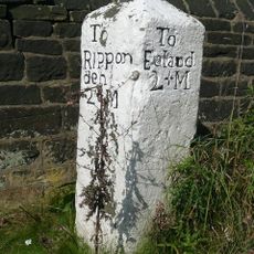
Milestone set against churchyard wall on south west
628 m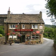
The Navigation
1.7 km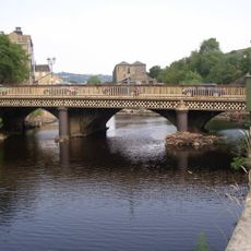
County Bridge
1.8 km
Milestone Opposite High Trees Lane
1.3 km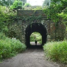
Hollas Lane railway bridge
1.3 km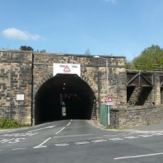
Railway Bridge With Wall To West And Coal Drops To East
1.7 km
Old Bank End Farmhouse
1 km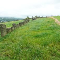
Vaccary Walling
948 m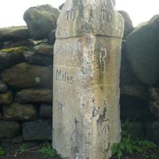
Milestone near Moor Quarries
757 m
Binn Royd Cottage/Binn Royd Farmhouse
973 m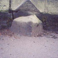
Milestone, W end of Sowerby Bridge, opp. Stonegarth
1.9 km
Copley Bridge Toll House
1.5 km
Upper Wat Ing
1 km
New Longley and attached outhouse range
1.6 km
Lane Ends
1.3 km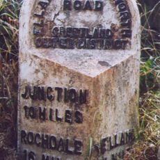
Milestone, between Greetland & Barkisland
1.3 km
Lower Spark House Farmhouse
1.3 km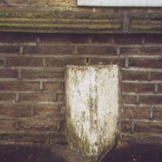
Milestone, Rochdale Road, Greetland, opp. St Thomas's Church
1.8 km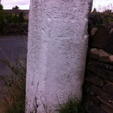
Guidestone, Rochdale Road, Upper Greetland
826 m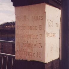
Milestone, Bolton Brow, Sowerby Bridge
1.8 kmReviews
Visited this place? Tap the stars to rate it and share your experience / photos with the community! Try now! You can cancel it anytime.
Discover hidden gems everywhere you go!
From secret cafés to breathtaking viewpoints, skip the crowded tourist spots and find places that match your style. Our app makes it easy with voice search, smart filtering, route optimization, and insider tips from travelers worldwide. Download now for the complete mobile experience.

A unique approach to discovering new places❞
— Le Figaro
All the places worth exploring❞
— France Info
A tailor-made excursion in just a few clicks❞
— 20 Minutes