
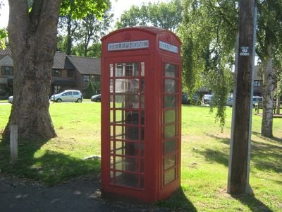
K6 Telephone Kiosk Junction Of Sandy Lane, K6 telephone box in Bromley, Greater London, UK
Location: London Borough of Bromley
GPS coordinates: 51.40315,0.11816
Latest update: March 3, 2025 02:35
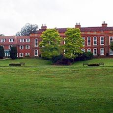
Frognal House
1.9 km
Ruxley Gravel Pits
766 m
St Botolph's Church, Ruxley
1.5 km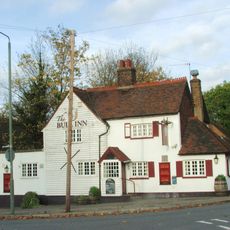
The Bull
33 m
The Warren
1.6 km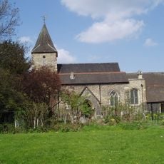
Church of St Mary
916 m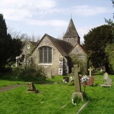
Church of St Paulinus
168 m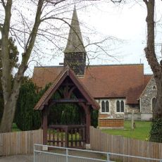
Parish Church of All Saints
2 km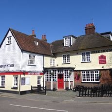
The Seven Stars Public House
1.7 km
Sheffield Monument (In Churchyard Of Parish Church Of St John The Evangelist)
2.5 km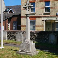
St Mary Cray War Memorial
924 m
Stable Block To Former Foots Cray Place
2.5 km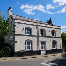
The Blue Anchor Public House
856 m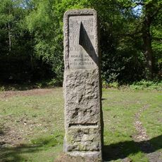
William Willett Memorial
2.4 km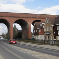
Cray Viaduct
996 m
Ruxley Farmhouse
1.4 km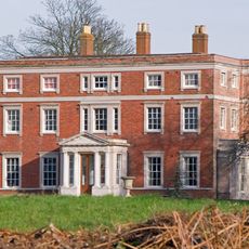
Kevington County Primary School
1.7 km
1-3, Chapmans Lane
77 m
Sidcup Place (Including Ha Ha To East)
2.4 km
Bowling Pavillion, Foots Cray Place
2.4 km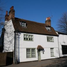
Lime Tree House
842 m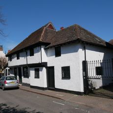
5-9, High Street
881 m
Hockenden House
2 km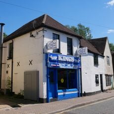
87, High Street
1.2 km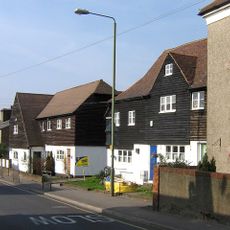
4,6,8 And 8A, Kent Road
1.9 km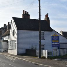
316 And 318, High Street
1.9 km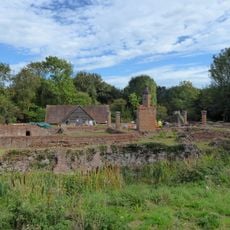
Scadbury Manor moated site and fishponds
1.7 km
Milepost, Maidstone Road, Ruxley, E of Glebe Cottages, W of entrance to Manor Farm
1.6 kmReviews
Visited this place? Tap the stars to rate it and share your experience / photos with the community! Try now! You can cancel it anytime.
Discover hidden gems everywhere you go!
From secret cafés to breathtaking viewpoints, skip the crowded tourist spots and find places that match your style. Our app makes it easy with voice search, smart filtering, route optimization, and insider tips from travelers worldwide. Download now for the complete mobile experience.

A unique approach to discovering new places❞
— Le Figaro
All the places worth exploring❞
— France Info
A tailor-made excursion in just a few clicks❞
— 20 Minutes