
Borough Hall, house in Stafford, Staffordshire, UK
Location: Stafford
Inception: 1877
GPS coordinates: 52.80716,-2.11568
Latest update: March 3, 2025 05:04

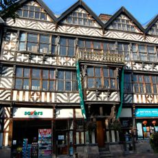
Ancient High House
148 m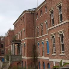
St George's Hospital
490 m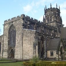
Church of St Mary
197 m
Shire Hall, Stafford
70 m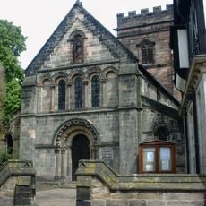
St Chad's Church, Stafford
220 m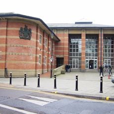
Stafford Combined Court Centre
363 m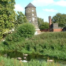
Broad Eye Windmill
483 m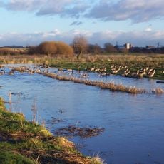
Doxey Marshes
1.7 km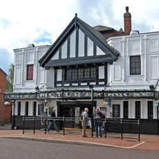
Picture House
312 m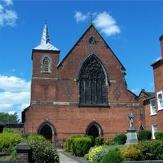
St Austin's Church, Stafford
757 m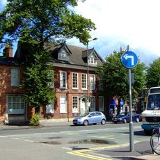
William Salt Library
126 m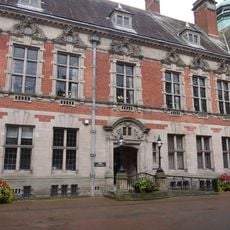
County Buildings and Judges House
41 m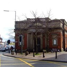
Old Borough Library, Stafford
393 m
Friars' Walk drill hall, Stafford
422 m
Church of St Paul
726 m
Church of Holy Trinity
2.3 km
Church of St Mary
2.1 km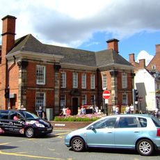
Post Office And Attached Railings And Gate
228 m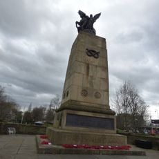
Staffordshire County War Memorial With Flanking Walls And Gates
506 m
The Bear Public House
113 m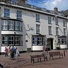
Swan Hotel
161 m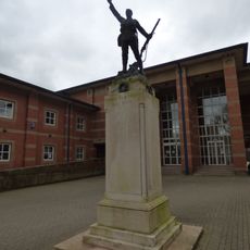
Stafford Borough War Memorial
318 m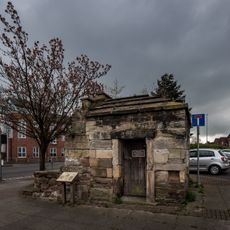
Forebridge Lock Up
509 m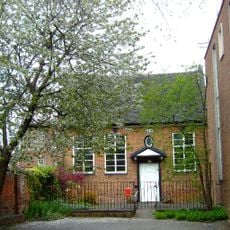
Friends' Meeting House
509 m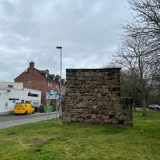
East Gate
308 m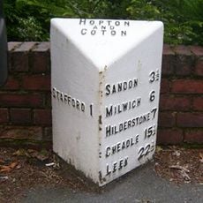
Milepost, Stafford, NE of town centre
1.5 km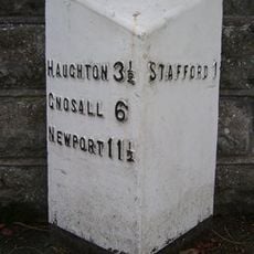
Milepost, Newport Road, E of West Way and W of Stafford town centre
1.5 km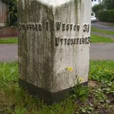
Milepost, Kingston Hill
1.4 kmReviews
Visited this place? Tap the stars to rate it and share your experience / photos with the community! Try now! You can cancel it anytime.
Discover hidden gems everywhere you go!
From secret cafés to breathtaking viewpoints, skip the crowded tourist spots and find places that match your style. Our app makes it easy with voice search, smart filtering, route optimization, and insider tips from travelers worldwide. Download now for the complete mobile experience.

A unique approach to discovering new places❞
— Le Figaro
All the places worth exploring❞
— France Info
A tailor-made excursion in just a few clicks❞
— 20 Minutes