
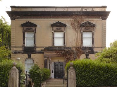
7 Rock Lane East, Rock Ferry, Grade II listed house in Wirral, Merseyside, UK
Location: Wirral
Inception: 1840
GPS coordinates: 53.37118,-3.00248
Latest update: April 27, 2025 11:02
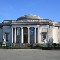
Lady Lever Art Gallery
1.7 km
The Oval
1.6 km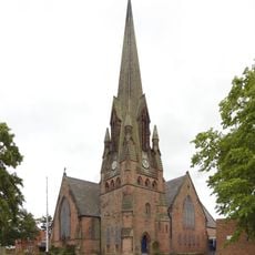
Church of St Paul with St Luke, Rock Ferry
936 m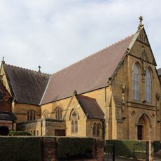
St Anne's Church, Rock Ferry
575 m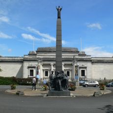
Leverhulme Memorial
1.7 km
St Peter's Church, Rock Ferry
204 m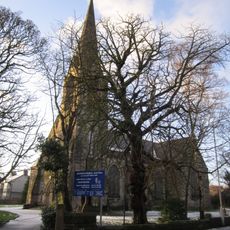
Highfield United Reformed Church
633 m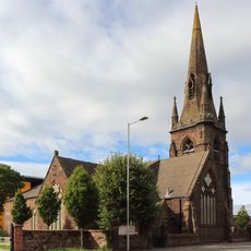
St Catherine's Church, Tranmere
1.8 km
14 - 16, Church Drive, Port Sunlight
1.9 km
Lodge to New Ferry Park
986 m
Port Sunlight Museum
1.8 km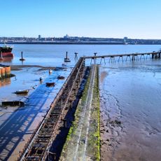
Rock Ferry Slipway
427 m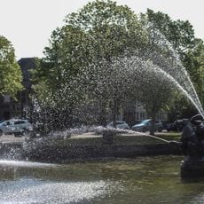
Pond and fountain, Lady Lever Art Gallery
1.8 km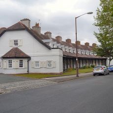
15-27, Lower Road
1.7 km
Byrne Avenue swimming baths, Rock Ferry
788 m
Rock Ferry War Memorial
919 m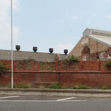
Tranmere Abattoir
1.7 km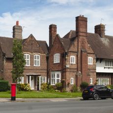
8 – 12 The Causeway & 1 – 4 King George's Drive, Port Sunlight
2 km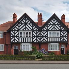
81 - 87 Bebington Road, Port Sunlight
1.5 km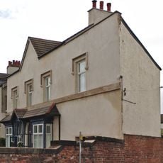
307 Old Chester Road, Rock Ferry
869 m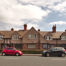
67 - 79 Bebington Road, Port Sunlight
1.4 km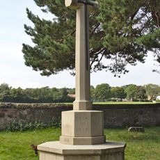
Bebington Cemetery War Memorial
1.8 km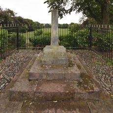
Tranmere Cross
1.5 km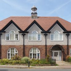
Hesketh Hall, Port Sunlight
1.4 km
5-20, King Georges Drive
1.9 km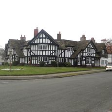
51-59, Lower Road
1.7 km
Number 19 With Gatepiers To Street
314 m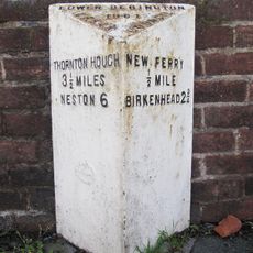
Milepost, Bebington Road; nr Bebington Station
1.7 kmVisited this place? Tap the stars to rate it and share your experience / photos with the community! Try now! You can cancel it anytime.
Discover hidden gems everywhere you go!
From secret cafés to breathtaking viewpoints, skip the crowded tourist spots and find places that match your style. Our app makes it easy with voice search, smart filtering, route optimization, and insider tips from travelers worldwide. Download now for the complete mobile experience.

A unique approach to discovering new places❞
— Le Figaro
All the places worth exploring❞
— France Info
A tailor-made excursion in just a few clicks❞
— 20 Minutes