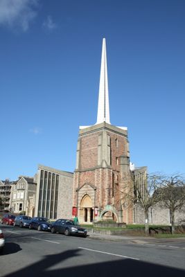
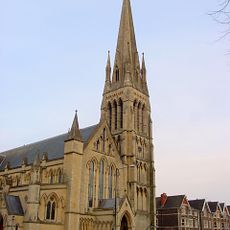
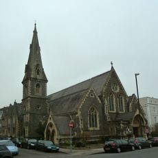
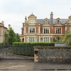
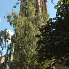
Church of All Saints, Anglican parish church in Clifton, England
The Church of All Saints sits on Pembroke Road in Clifton with a traditional church layout featuring nave, aisles, and chancel areas. Stained glass windows throughout its interior provide colored light, while a free-standing altar beneath a distinctive canopy creates the focal point of the worship space.
The original church rose between 1868 and 1872 through the design of architect George Edmund Street as a confident Gothic structure. A bombing in 1940 during World War II caused significant damage, prompting major reconstruction work that transformed its interior layout.
The church serves as a gathering place where the local community comes together for worship and events. Its role in the neighborhood extends beyond religion to include concerts and celebrations that bring people together throughout the year.
The church sits in the Clifton neighborhood and opens to visitors who wish to explore its interior and admire the stained glass. Since it functions as an active parish church, it is wise to check when services or events are scheduled before visiting.
After wartime damage, architect Robert Potter rotated and completely redesigned the entire interior during reconstruction. This radical rearrangement gave the parish a fresh relationship with the space it worships in.
Location: City of Bristol
Website: http://allsaintsclifton.org
GPS coordinates: 51.46236,-2.61622
Latest update: December 12, 2025 12:07
Bristol Zoo
430 m
Clifton Cathedral
296 m
Broadcasting House
587 m
Clifton Lido and The Victoria Public House
496 m
Christ Church, Clifton Down
150 m
Everyman Bristol
459 m
Tyndale Baptist Church
548 m
St Paul's Church, Clifton, Bristol
498 m
Lido
451 m
Clifton College, Statue Of Earl Haig
335 m
South African War Memorial
275 m
Redland Library
497 m
Clifton College, Victory Arch
356 m
Clifton College, Percival Buildings And Wilson Tower
288 m
Avonbank And Attached Front Garden Walls, Piers And Gates Llanfoist And Attached Front Garden Walls, Piers And Gates
603 m
Auburn House And Attached Garden Walls, Piers And Gates Sutton House And Attached Walls, Piers And Gates
588 m
Numbers 2 To 14 (Consecutive) Westbourne Place And 88 Queen's Road, And Attached Basement Area Railings
576 m
27 And 29, Whitladies Road
591 m
Number 36 And Attached Basement Area Railings, Rear Garden Walls And Gate Piers
564 m
Emanuel Court
165 m
50 And 52, St Pauls Road
505 m
Drinking Fountain At Junction With Upper Belgrave Road And Clifton Down Road
492 m
Gas Lamp Post Approximately 30 Metres East Of Norland House
579 m
39-53, Apsley Road
566 m
34-44, St Pauls Road
509 m
Bristol Zoological Gardens Entrance
559 m
Terrace And Attached Front Area Railings And Gates
512 m
Victoria Rooms And Attached Railings And Gates
614 mVisited this place? Tap the stars to rate it and share your experience / photos with the community! Try now! You can cancel it anytime.
Discover hidden gems everywhere you go!
From secret cafés to breathtaking viewpoints, skip the crowded tourist spots and find places that match your style. Our app makes it easy with voice search, smart filtering, route optimization, and insider tips from travelers worldwide. Download now for the complete mobile experience.
A unique approach to discovering new places❞
— Le Figaro
All the places worth exploring❞
— France Info
A tailor-made excursion in just a few clicks❞
— 20 Minutes