
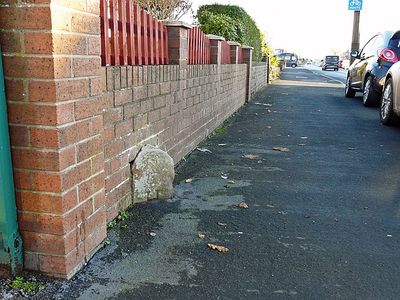
Boundary Stone Outside Number 431, boundary marker in Carlisle, Cumbria, UK
Location: Carlisle
Part of: political border
GPS coordinates: 54.87360,-2.90121
Latest update: March 15, 2025 02:55
Our Lady and St Joseph's Church
2.8 km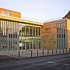
Cumbria House
2.5 km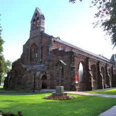
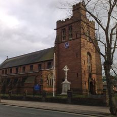
Church of St Aidan
2.6 km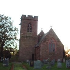
Church of All Saints
2.4 km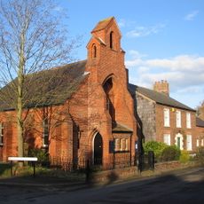
Church of St Andrew
2.1 km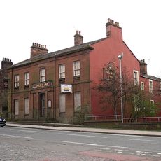
The Railway Inn
1.9 km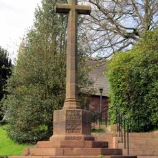
Scotby War Memorial
2.4 km
London Road Ner Goods Station
1.8 km
Christ Church War Memorial, Carlisle
2.6 km
3, Brunswick Street
2.8 km
No 10 Including Railings
2.7 km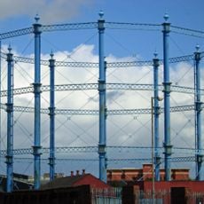
No 4 Gasholder, Carlisle Gas Works
2.6 km
Garlands Bridge
1.8 km
15, Portland Square
2.7 km
25, 27 And 29, Tait Street
2.6 km
20, Portland Square
2.7 km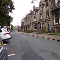
16-19, Portland Square
2.7 km
21 And 22, Portland Square
2.7 km
23, Portland Square
2.8 km
8 And 9, Portland Square
2.7 km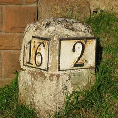
Milestone Outside Number 405
79 m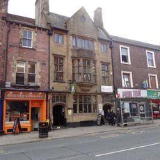
Cumberland Inn
2.7 km
Petteril Bank
667 m
Nos 11-14 Including Railings To Nos 13 And 14
2.7 km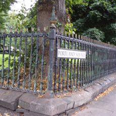
Wall And Railings Around Central Gardens
2.7 km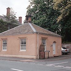
The Lodge
1 km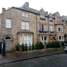
1, 3 And 5, Alfred Street North
2.8 km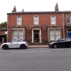
Larch House
2.7 kmReviews
Visited this place? Tap the stars to rate it and share your experience / photos with the community! Try now! You can cancel it anytime.
Discover hidden gems everywhere you go!
From secret cafés to breathtaking viewpoints, skip the crowded tourist spots and find places that match your style. Our app makes it easy with voice search, smart filtering, route optimization, and insider tips from travelers worldwide. Download now for the complete mobile experience.

A unique approach to discovering new places❞
— Le Figaro
All the places worth exploring❞
— France Info
A tailor-made excursion in just a few clicks❞
— 20 Minutes