
Homemead, building in Elsted and Treyford, Chichester, West Sussex, UK
Location: Elsted and Treyford
GPS coordinates: 50.96141,-0.80634
Latest update: April 29, 2025 04:04
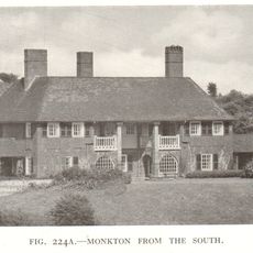
Monkton House
1.6 km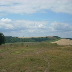
Devil's Jumps
2 km
Cocking Lime Works
4.1 km
Harting Beacon: a hilltop enclosure, Anglo-Saxon burial mound and telegraph station on Beacon and Pen Hills
3.2 km
St George's Church, Trotton
3.8 km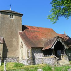
St Catherine of Siena Church, Cocking
4.2 km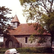
Church of St Mary
4.1 km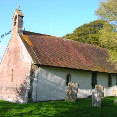
Church of St Andrew
693 m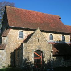
The Parish Church of St Paul
2.6 km
Chithurst Church
4.4 km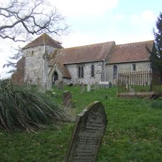
The Parish Church of St Mary
1.6 km
Ruins Of The Old Parish Church Of St Mary
1.5 km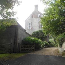
Treyford Manor
1.5 km
Iping House
4.4 km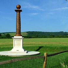
Cocking History Column
3.9 km
Iping Bridge
4.4 km
Terwick Mill
3.6 km
Roman road across Iping Common and bowl barrow 180m north west of Fitzhall Lodge: part of Fitzhall Heath round barrow cemetery
3.3 km
Trotton Bridge
3.7 km
The Keeper's Arms Public House
3.6 km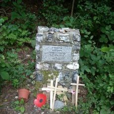
Hptm J. Oestermann Memorial, Treyford
2.3 km
Abbey House
4.4 km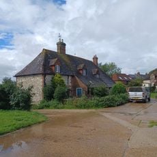
Marden Farmhouse
4.1 km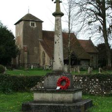
Cocking War Memorial, West Sussex
4.2 km
Trotton War Memorial Shrine
3.8 km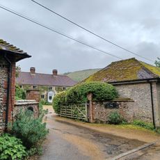
Treyford Manor Farmhouse
1.4 km
Bowl barrow on Bepton Down
2.3 km
Milestone, Trotton Common, 50m E of turn to Chithurst
3.6 kmReviews
Visited this place? Tap the stars to rate it and share your experience / photos with the community! Try now! You can cancel it anytime.
Discover hidden gems everywhere you go!
From secret cafés to breathtaking viewpoints, skip the crowded tourist spots and find places that match your style. Our app makes it easy with voice search, smart filtering, route optimization, and insider tips from travelers worldwide. Download now for the complete mobile experience.

A unique approach to discovering new places❞
— Le Figaro
All the places worth exploring❞
— France Info
A tailor-made excursion in just a few clicks❞
— 20 Minutes