
560-568, Kingsland Road, building in Hackney, Greater London, UK
Location: London Borough of Hackney
GPS coordinates: 51.54517,-0.07573
Latest update: March 24, 2025 15:15
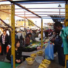
Ridley Road Market
380 m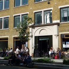
Cafe Oto
205 m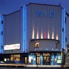
Rio Cinema
493 m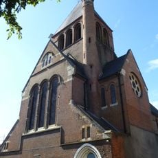
Holy Trinity Church, Dalston
207 m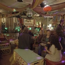
Passing Clouds
328 m
Shacklewell Lane Mosque
646 m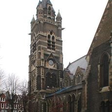
Church of St Mark
595 m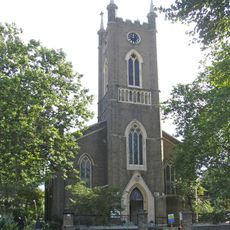
Church of St Peter
575 m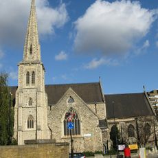
Church of St Jude and St Paul
511 m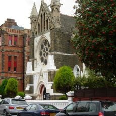
Hamburg Lutheran Church
593 m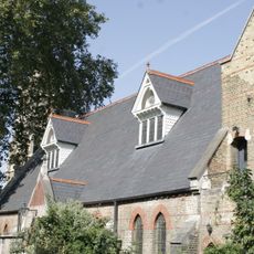
St Marks Church Hall And Vergers House
605 m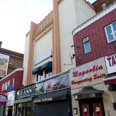
ABC Stoke Newington
662 m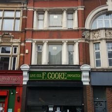
F Cooke's Eel, Pie And Mash Shop
282 m
De Beauvoir Square
483 m
13-16, Albion Square E8
614 m
23 And 24, Albion Square E8
649 m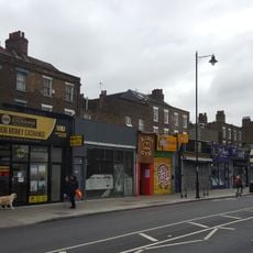
546-558, Kingsland Road
26 m
Post At Outer Corner Of Number 20 Ashwin Street
197 m
Walls Around Churchyard Of St Peter, With Gates
590 m
19 And 20, Albion Square E8
633 m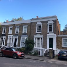
9-12, Albion Square E8
670 m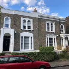
17 And 18, Albion Square E8
622 m
Haggerston Road School War Memorial
588 m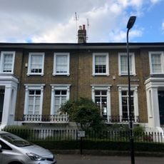
21 And 22, Albion Square E8
641 m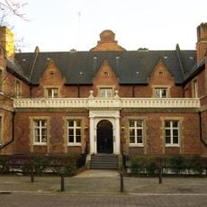
Lodge To West Entrance Of German Hospital
616 m
358 And 360, Kingsland Road
532 m
1-10, De Beauvoir Square N1
421 m
25 And 26, Albion Square E8
657 mReviews
Visited this place? Tap the stars to rate it and share your experience / photos with the community! Try now! You can cancel it anytime.
Discover hidden gems everywhere you go!
From secret cafés to breathtaking viewpoints, skip the crowded tourist spots and find places that match your style. Our app makes it easy with voice search, smart filtering, route optimization, and insider tips from travelers worldwide. Download now for the complete mobile experience.

A unique approach to discovering new places❞
— Le Figaro
All the places worth exploring❞
— France Info
A tailor-made excursion in just a few clicks❞
— 20 Minutes