
71-83, Paragon Road E9, building in Hackney, Greater London, UK
Location: London Borough of Hackney
GPS coordinates: 51.54523,-0.05090
Latest update: March 17, 2025 02:16
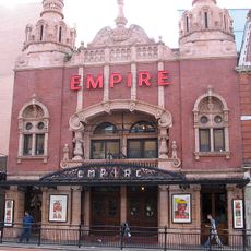
Hackney Empire
320 m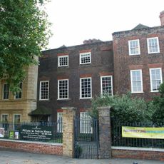
Sutton House
365 m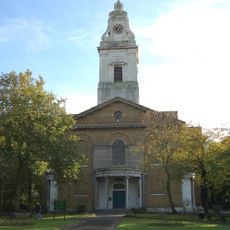
Church of St John-at-Hackney
476 m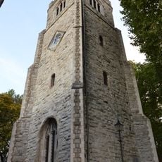
St Augustine's Tower
391 m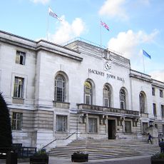
Hackney Town Hall
381 m
Custard Apple (Annonaceae), Breadfruit (Moraceae) and Soursop
368 m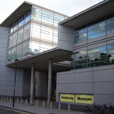
Hackney Museum
356 m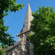
Church of St Luke
152 m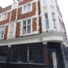
The Plough Inn
397 m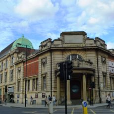
Hackney Picturehouse
479 m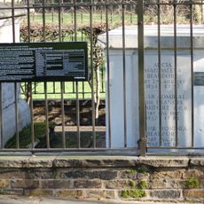
Beaufort Family Tomb, St John At Hackney Churchyard Gardens
460 m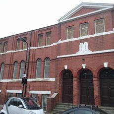
Hackney And East London Synagogue
307 m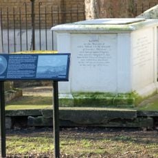
Hunter Family Tomb, St John At Hackney Churchyard Gardens
476 m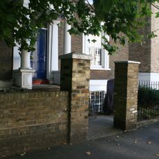
Forecourt Wall To Number 57
152 m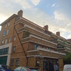
1-35 Lennox House
154 m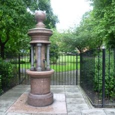
Drinking Fountain
455 m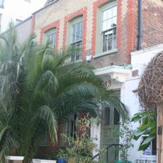
Circle House
364 m
226, Mare Street E8
317 m
222, Mare Street E8
333 m
33, Hackney Grove E8
390 m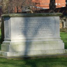
Loddiges Family Tomb, St John At Hackney Churchyard Gardens
446 m
4, Sylvester Path E8
349 m
210 And 212, Mare Street E8
337 m
25 And 27, Hackney Grove E8
398 m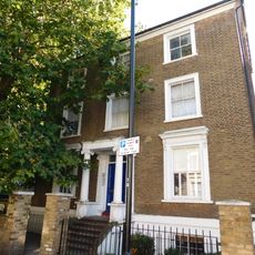
Darnley House
160 m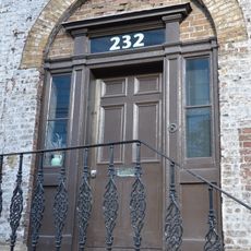
228-232, Mare Street E8
315 m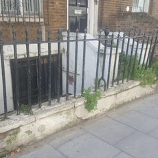
Forecourt Wall To Number 25
391 m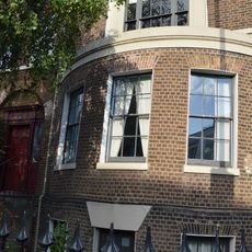
224, Mare Street E8
317 mReviews
Visited this place? Tap the stars to rate it and share your experience / photos with the community! Try now! You can cancel it anytime.
Discover hidden gems everywhere you go!
From secret cafés to breathtaking viewpoints, skip the crowded tourist spots and find places that match your style. Our app makes it easy with voice search, smart filtering, route optimization, and insider tips from travelers worldwide. Download now for the complete mobile experience.

A unique approach to discovering new places❞
— Le Figaro
All the places worth exploring❞
— France Info
A tailor-made excursion in just a few clicks❞
— 20 Minutes