
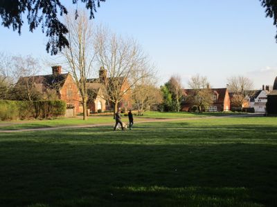
Langar School School House, architectural structure in Langar cum Barnstone, Rushcliffe, Nottinghamshire, UK
Location: Langar cum Barnstone
GPS coordinates: 52.90394,-0.92767
Latest update: March 7, 2025 11:03
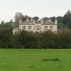
Wiverton Hall
2 km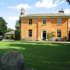
Langar Hall
139 m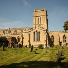
St. Andrew's Church
117 m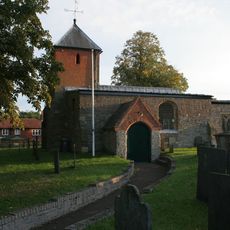
Holy Trinity Church, Tythby
3.4 km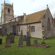
St. Giles' Church, Cropwell Bishop
3.8 km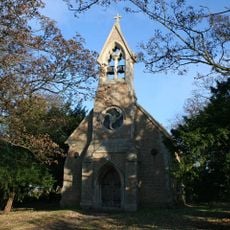
St. Mary's Church, Barnstone
1.8 km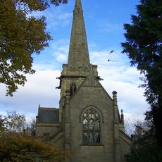
St. John's Church, Colston Bassett
2.6 km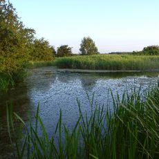
Grantham Canal SSSI
4.2 km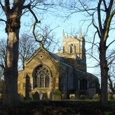
Church of St Mary the Virgin
4.1 km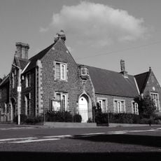
Harby Church Of England Primary School
4.2 km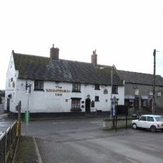
Wheatsheaf Inn
4 km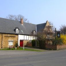
The Nags Head Public (number 20) House And Attached Walls, Railings, Gate And Overthrow
4.2 km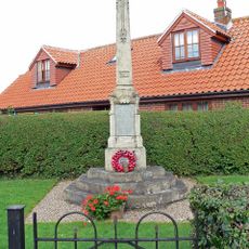
Plungar War Memorial
4.7 km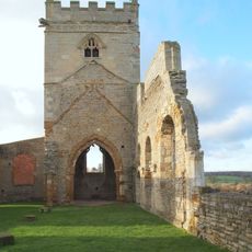
Remains of Church of St Mary
2.8 km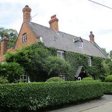
Martins Arms Public House
2.8 km
War Memorial
4.1 km
The Court, Including Stable Wing And Dovecote
4.6 km
16 And 20, Fern Road
3.8 km
Granby War Memorial
3.3 km
Langar-cum-Barnstone War Memorial
91 m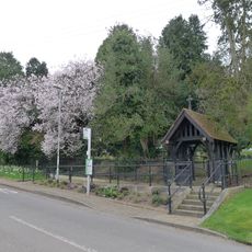
Lych Gate War Memorial At Cropwell Butler Cemetery
4.2 km
Grantham Canal, 9 3/4 Miles Post Approximately 100 Metres North Of Spencer's Bridge
4.4 km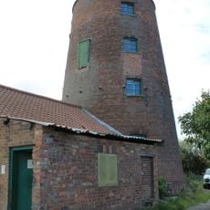
Remains Of Harby Windmill
3.8 km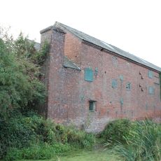
Warehouse Approximately 60 Metres West North West Of Harby Windmill
3.7 km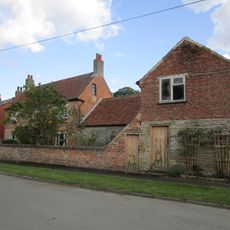
Granby Farmhouse
3.2 km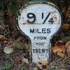
Grantham Canal, Canal 9 1/4 Miles Post Approximately 600 Metres South Of Colston Bridge
4.4 km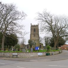
Wall To South And West Sides Of Churchyard Of Churchyard Of St Giles
3.9 km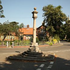
Market Cross
2.7 kmVisited this place? Tap the stars to rate it and share your experience / photos with the community! Try now! You can cancel it anytime.
Discover hidden gems everywhere you go!
From secret cafés to breathtaking viewpoints, skip the crowded tourist spots and find places that match your style. Our app makes it easy with voice search, smart filtering, route optimization, and insider tips from travelers worldwide. Download now for the complete mobile experience.

A unique approach to discovering new places❞
— Le Figaro
All the places worth exploring❞
— France Info
A tailor-made excursion in just a few clicks❞
— 20 Minutes