
Corning, city in Clay County, Arkansas, United States
Location: Clay County
Inception: August 6, 1877
Elevation above the sea: 88 m
Website: http://corningar.gov
GPS coordinates: 36.41000,-90.58940
Latest update: April 7, 2025 06:06
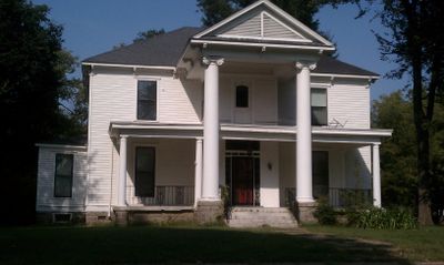
Pfeiffer House and Carriage House
35 km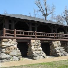
Crowley's Ridge State Park
41 km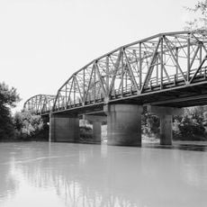
Black River Bridge
38.3 km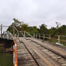
Hargrove Pivot Bridge
37 km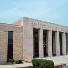
Randolph County Courthouse
38 km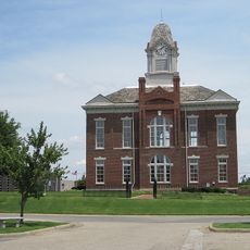
Greene County Courthouse
40.7 km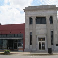
National Bank of Commerce Building (Paragould, Arkansas)
40.6 km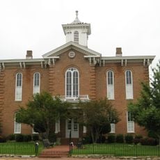
Old Randolph County Courthouse
37.9 km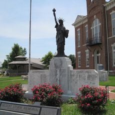
Paragould War Memorial
40.4 km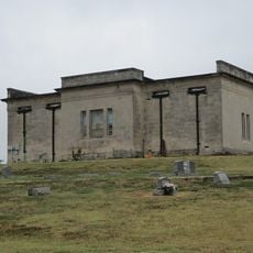
Linwood Mausoleum
40.7 km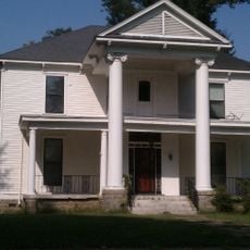
Sheeks House
744 m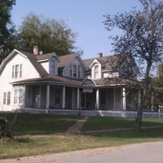
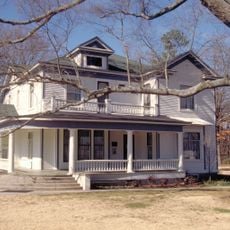
Oliver House
942 m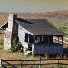
Hillyard Cabin
40.7 km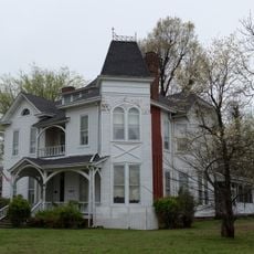
Jackson-Herget House
40.5 km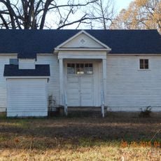
Cedar Grove School No. 81
33.6 km
Ripley County Jail, Sheriff's Office and Sheriff's Residence
31.4 km
Randolph Columbus Barrett House
31.5 km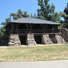
Crowley's Ridge State Park-Bathhouse
41.1 km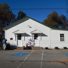
Eddie Mae Herron Center & Museum
38.8 km
Ripley County Courthouse
31.4 km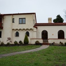
Beisel-Mitchell House
40.4 km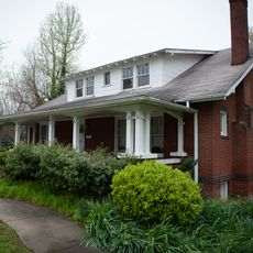
Highfill-McClure House
40.1 km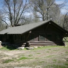
Crowley's Ridge State Park-Dining Hall
40.7 km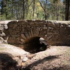
Crowley's Ridge State Park-Bridge
41.2 km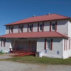
Knob School
19 km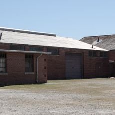
Piggott National Guard Armory
36.7 km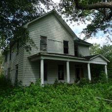
Baynham House
13 km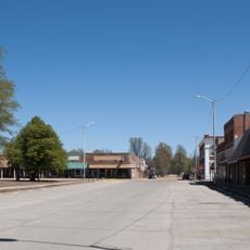
Piggott Commercial Historic District
35.9 kmVisited this place? Tap the stars to rate it and share your experience / photos with the community! Try now! You can cancel it anytime.
Discover hidden gems everywhere you go!
From secret cafés to breathtaking viewpoints, skip the crowded tourist spots and find places that match your style. Our app makes it easy with voice search, smart filtering, route optimization, and insider tips from travelers worldwide. Download now for the complete mobile experience.

A unique approach to discovering new places❞
— Le Figaro
All the places worth exploring❞
— France Info
A tailor-made excursion in just a few clicks❞
— 20 Minutes