Clay County, Administrative county in northeastern Arkansas, United States.
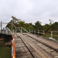
Clay County is an administrative county in northeastern Arkansas that spreads across two distinct sections separated by the Black River running through its center. The river creates a natural division that shapes how the territory is organized and managed.
The county was established in 1873 from portions of existing counties and originally had a different name before being renamed in 1875. This early change reflected how Arkansas was reorganizing its administrative structure during that era.
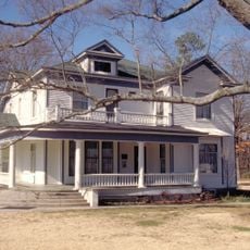
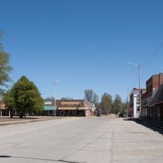
The area preserves agricultural traditions with rice fields, cotton farms, and soybean crops that shape how locals live and work. These farming practices remain visible in the everyday landscape and influence community life.
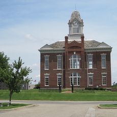
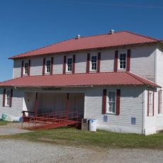
The county operates with two administrative centers due to the division created by the Black River. Knowing which town serves your specific area is helpful when seeking local government services.
The Black River is so significant to the geography that it necessitated creating two separate administrative centers, each serving one side of the river. This arrangement is uncommon and shows how nature shapes local governance decisions.
The community of curious travelers
AroundUs brings together thousands of curated places, local tips, and hidden gems, enriched daily by 60,000 contributors worldwide.