
Milestone At Ngr St 0144 3334, milestone in Brompton Regis, West Somerset, Somerset, UK
Location: Brompton Regis
Inception: 1820s
GPS coordinates: 51.09105,-3.40840
Latest update: April 3, 2025 00:01

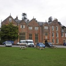
Nettlecombe Court
6 km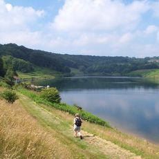
Clatworthy Reservoir
3.4 km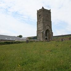
Old Church of St James, Upton
5.3 km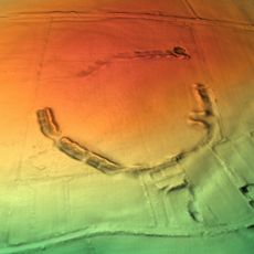
Elworthy Barrows
5.6 km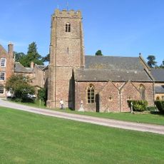
Church of St Mary the Virgin, Nettlecombe
6.1 km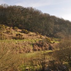
Clatworthy Camp
3.6 km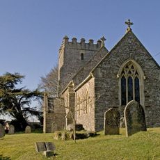
Church of St John
6.7 km
Church of St Peter, Huish Champflower
5.4 km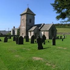
Church of St Peter
3 km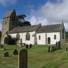
St Mary's Church, Luxborough
6.2 km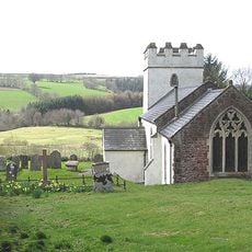
Church of St Mary Magdalene
2.8 km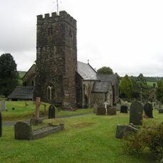
Church of St Mary
6.6 km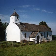
Church of St Bartholomew
6.3 km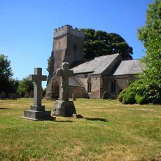
Church of St Mary Magdalene
4.5 km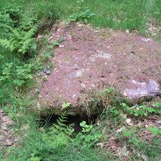
Cist and associated mound in Langridge Wood, 410m north west of Treborough Lodge
4 km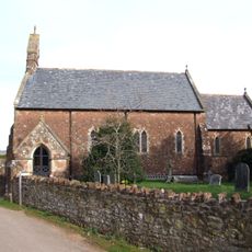
Church of St Giles
3.6 km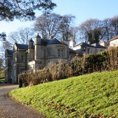
Chargot House
5.1 km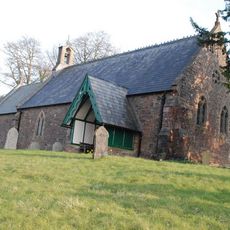
Church of St James
4.8 km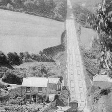
The Incline, lying between Brendon Hill and Comberow, and the remains of Combe Row Station
1.9 km
Pepperpot Castle
5.3 km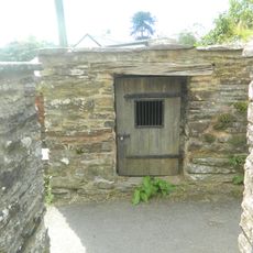
Brompton Regis Lock-Up
6.6 km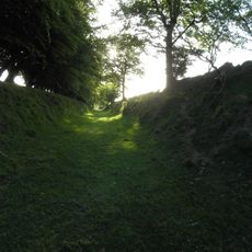
Burrow Farm iron mine and section of mineral railway trackbed, 350m north east of Burrow Farm
1.2 km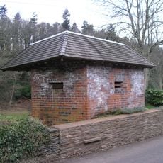
World War II pillbox at Vale House, 120m north east of Glasses Farm
4.8 km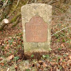
Milestone At Ngr Ss 9737 2849
6.3 km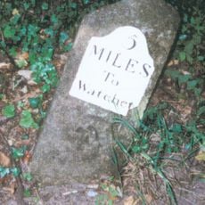
Milestone At Ngr St 0460 3613
4.2 km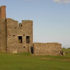
Burrow Farm Engine House And Remains Of Drying Shed About 10 Metres To West
1.3 km
Bowl barrow 700m north east of Burrow Farm
1.3 km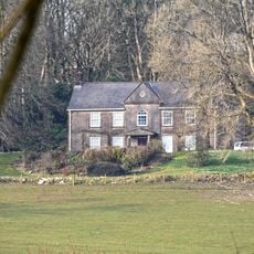
Middleton Court
1.1 kmReviews
Visited this place? Tap the stars to rate it and share your experience / photos with the community! Try now! You can cancel it anytime.
Discover hidden gems everywhere you go!
From secret cafés to breathtaking viewpoints, skip the crowded tourist spots and find places that match your style. Our app makes it easy with voice search, smart filtering, route optimization, and insider tips from travelers worldwide. Download now for the complete mobile experience.

A unique approach to discovering new places❞
— Le Figaro
All the places worth exploring❞
— France Info
A tailor-made excursion in just a few clicks❞
— 20 Minutes