
Atkins, city in Arkansas
Location: Pope County
Inception: 1872
Elevation above the sea: 113 m
GPS coordinates: 35.24360,-92.93830
Latest update: May 5, 2025 04:50

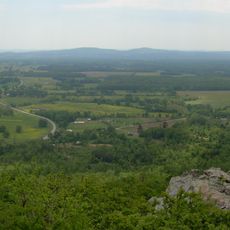
Petit Jean State Park
14.3 km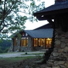
Mather Lodge
14.1 km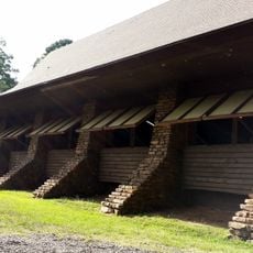
CCC architecture of Petit Jean State Park
13 km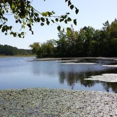
Petit Jean State Park-Lake Bailey-Roosevelt Lake Historic District
12.9 km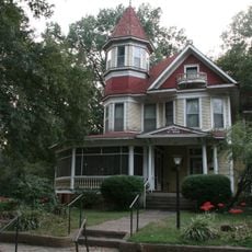
W.L. Wood House
19.7 km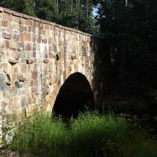
Cedar Creek Bridge
12.9 km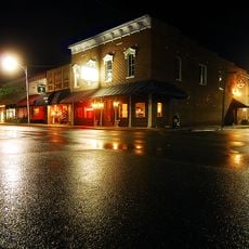
Russellville Downtown Historic District
18.3 km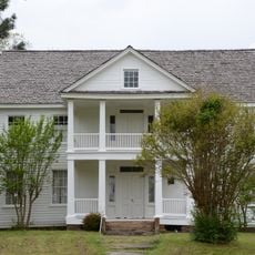
Potts Inn
9.7 km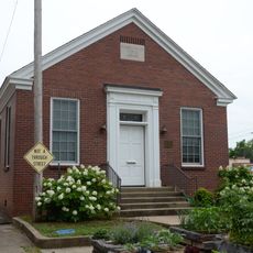
Russellville Public Library
18.1 km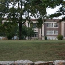
Arkansas Christian College Administration Building
19.8 km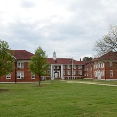
Wilson Hall
18.9 km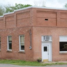
Pottsville Commercial Historic District
9.8 km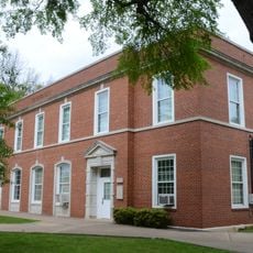
Physical Education Building
18.8 km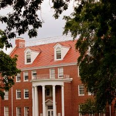
Caraway Hall
18.6 km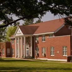
Williamson Hall
18.8 km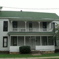
Latimore Tourist Home
18.7 km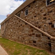
Hughes Hall
19 km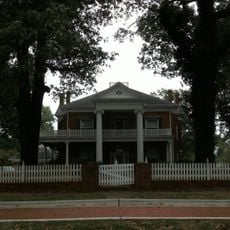
Wilson House
17.8 km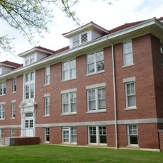
Girls' Domestic Science and Arts Building
18.7 km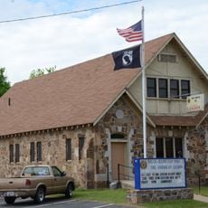
Riggs-Hamilton American Legion Post No. 20
18.4 km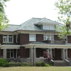
John W. White House
19.4 km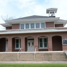
First United Methodist Church
19.8 km
Trinity Lutheran Church
12.4 km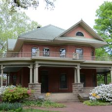
W.J. White House
19.6 km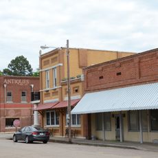
Atkins Commercial Historic District
122 m
Center Valley Well House
16.5 km
Henry R. Koen Forest Service Building
18.6 km
Threlkeld House
18.4 kmVisited this place? Tap the stars to rate it and share your experience / photos with the community! Try now! You can cancel it anytime.
Discover hidden gems everywhere you go!
From secret cafés to breathtaking viewpoints, skip the crowded tourist spots and find places that match your style. Our app makes it easy with voice search, smart filtering, route optimization, and insider tips from travelers worldwide. Download now for the complete mobile experience.

A unique approach to discovering new places❞
— Le Figaro
All the places worth exploring❞
— France Info
A tailor-made excursion in just a few clicks❞
— 20 Minutes