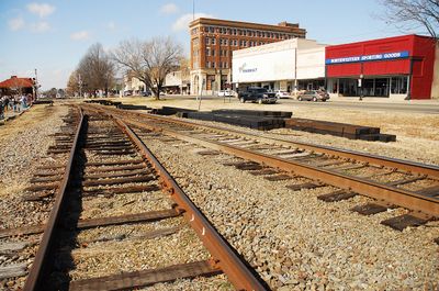
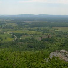
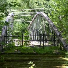
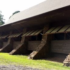
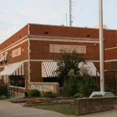
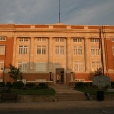
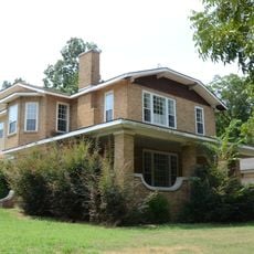
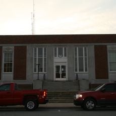
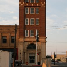
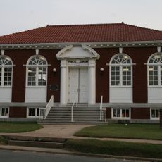
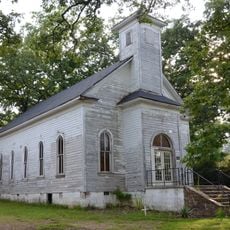
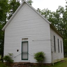
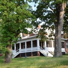
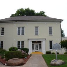
Morrilton, city in Arkansas, USA
Location: Conway County
Inception: 1879
Elevation above the sea: 117 m
Website: http://www.cityofmorrilton.com
Website: http://cityofmorrilton.com
GPS coordinates: 35.15639,-92.74194
Latest update: March 6, 2025 18:32
Petit Jean State Park
18.2 km
Springfield Bridge
23.5 km
CCC architecture of Petit Jean State Park
16.5 km
Coca-Cola Building
267 m
Petit Jean State Park-Lake Bailey-Roosevelt Lake Historic District
16 km
Moose House
928 m
W.L. Wood House
648 m
Conway County Courthouse
577 m
Cedar Creek Bridge
16.9 km
Arkansas Christian College Administration Building
875 m
Aycock House
923 m
Cox House
1.8 km
West Church Street Historic District
827 m
Morrilton Post Office
393 m
First National Bank of Morrilton
439 m
Conway County Library
686 m
Houston Methodist Episcopal Church, South
14.6 km
Trinity Lutheran Church
16.9 km
C.L. Sailor House
20.5 km
Perry County Courthouse
17.7 km
Union Chapel School and Shop Building
18.9 km
Perryville American Legion Building
17.8 km
Bigelow Methodist Episcopal Church, South
20.2 km
Atkins Commercial Historic District
20.3 km
Plummer's Station
9.1 km
Perryville Commercial Historic District
17.7 km
Moose Addition Neighborhood Historic District
871 m
Plumerville School Building
9.8 kmReviews
Visited this place? Tap the stars to rate it and share your experience / photos with the community! Try now! You can cancel it anytime.
Discover hidden gems everywhere you go!
From secret cafés to breathtaking viewpoints, skip the crowded tourist spots and find places that match your style. Our app makes it easy with voice search, smart filtering, route optimization, and insider tips from travelers worldwide. Download now for the complete mobile experience.
A unique approach to discovering new places❞
— Le Figaro
All the places worth exploring❞
— France Info
A tailor-made excursion in just a few clicks❞
— 20 Minutes