Conway County

Log in to your account

AroundUs is a community-driven map of interesting places, built by curious explorers like you. It grows with every review, story, and photo you share.
Connect to save your favorite spots, contribute locations, and create personalized routes.
By continuing, you accept our Terms and Conditions and our Privacy Policy
Add to collection
Map
Suggest a change
Share

Conway County, County in central Arkansas, United States.

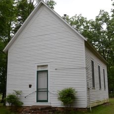
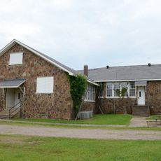
Conway County is an administrative region in central Arkansas situated between mountain ranges and river valleys. The territory includes forests, agricultural lands, and communities spread across roughly 567 square miles.

The county was established in 1825, separated from an existing administrative area as settlement expanded westward. Its name honors a territorial official who played a role in early Arkansas governance.

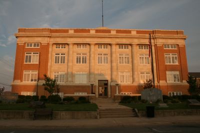
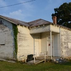
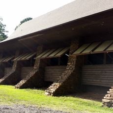
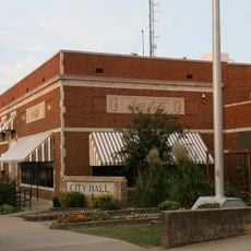
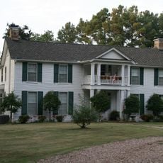
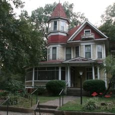
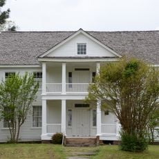
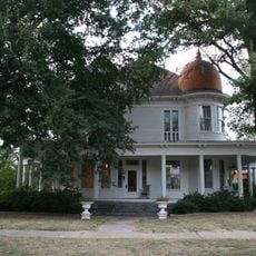
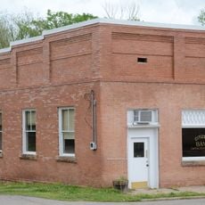
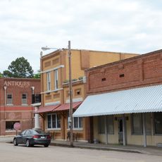
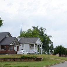
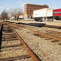
The county seat of Morrilton sits along the Arkansas River and reflects the area's strong connection to farming and trade. Local communities continue to rely on agriculture as a way of life and economic foundation.

The county connects to larger cities through major highways including Interstate 40, making travel relatively straightforward. Most areas require a car to explore, as public transportation options are limited throughout the region.

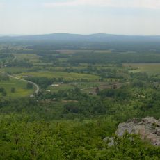
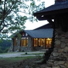
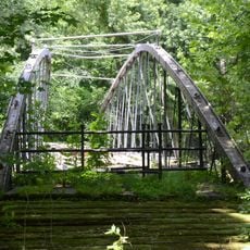
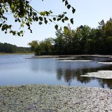
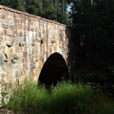
The northern portion includes sections of Ozark National Forest, bringing extensive woodland areas to the region. Within this territory sits Petit Jean State Park, a site known for its natural trails and water features established early in Arkansas's park system.

Location: Arkansas

Inception: October 20, 1825

Capital city: Morrilton

Shares border with: Van Buren County, Perry County, Faulkner County, Pope County, Yell County

Website: https://conwaycountyar.com

GPS coordinates: 35.26667,-92.70000

Latest update: December 10, 2025 15:47

Photos
Around this place
Petit Jean State Park
United States of America

Petit Jean State Park

27.3 km
Mather Lodge
United States of America

Mather Lodge

27.3 km
Saint Anthony's Hospital
United States of America

Saint Anthony's Hospital

13.8 km
Springfield Bridge
United States of America

Springfield Bridge

17.1 km
Bigelow Rosenwald School
United States of America

Bigelow Rosenwald School

24.6 km
CCC architecture of Petit Jean State Park
United States of America

CCC architecture of Petit Jean State Park

25.2 km
Coca-Cola Building
United States of America

Coca-Cola Building

13.1 km
Petit Jean State Park-Lake Bailey-Roosevelt Lake Historic District
United States of America

Petit Jean State Park-Lake Bailey-Roosevelt Lake Historic District

24.8 km
Moose House
United States of America

Moose House

13.5 km
W.L. Wood House
United States of America

W.L. Wood House

12.5 km
Conway County Courthouse
United States of America

Conway County Courthouse

13.4 km
Cedar Creek Bridge
United States of America

Cedar Creek Bridge

25.6 km
Potts Inn
United States of America

Potts Inn

31.4 km
Arkansas Christian College Administration Building
United States of America

Arkansas Christian College Administration Building

12.1 km
Aycock House
United States of America

Aycock House

13.6 km
Pottsville Commercial Historic District
United States of America

Pottsville Commercial Historic District

31.5 km
Cafeteria Building-Cleveland School
United States of America

Cafeteria Building-Cleveland School

13.9 km
Cox House
United States of America

Cox House

14.3 km
Mallettown United Methodist Church
United States of America

Mallettown United Methodist Church

19.2 km
West Church Street Historic District
United States of America

West Church Street Historic District

13.6 km
Morrilton Post Office
United States of America

Morrilton Post Office

13.2 km
First National Bank of Morrilton
United States of America

First National Bank of Morrilton

13.3 km
Conway County Library
United States of America

Conway County Library

13.5 km
Trinity Lutheran Church
United States of America

Trinity Lutheran Church

25.3 km
Union Chapel School and Shop Building
United States of America

Union Chapel School and Shop Building

13.7 km
Atkins Commercial Historic District
United States of America

Atkins Commercial Historic District

21.8 km
Plummer's Station
United States of America

Plummer's Station

13.4 km
Moose Addition Neighborhood Historic District
United States of America

Moose Addition Neighborhood Historic District

13.7 km
Show the full map
Reviews

Visited this place? Tap the stars to rate it and share your experience / photos with the community! Try now! You can cancel it anytime.

Administrative divisions
« Conway County - County in central Arkansas, United States » is provided by Around Us (aroundus.com). Images and texts are derived from Wikimedia project under a Creative Commons license. You are allowed to copy, distribute, and modify copies of this page, under the conditions set by the license, as long as this note is clearly visible.

Discover hidden gems everywhere you go!

From secret cafés to breathtaking viewpoints, skip the crowded tourist spots and find places that match your style. Our app makes it easy with voice search, smart filtering, route optimization, and insider tips from travelers worldwide. Download now for the complete mobile experience.

Around Us App Screenshot

A unique approach to discovering new places

Le Figaro

All the places worth exploring

France Info

A tailor-made excursion in just a few clicks

20 Minutes