Enable Location

We need your location to show you interesting places around you

Discover nearby places

Find interesting locations and hidden gems around you

Precise directions

Get accurate directions and distances to places

Your location is never shared with other users. It's only used when you tap the location button.

Ralls County

Log in to your account

Start exploring — it's free

Trusted by 61,978 travelers worldwide

Continue with Google
Continue with Apple
or

We will send you a code to connect

By continuing, you accept our Terms and Conditions and our Privacy Policy

Check your inbox

We've sent a pincode in your inbox. Please enter the code below.

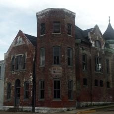
Ralls County, Administrative county in northeastern Missouri, United States.

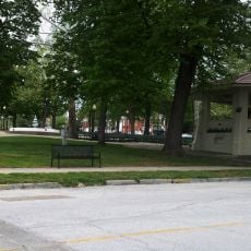
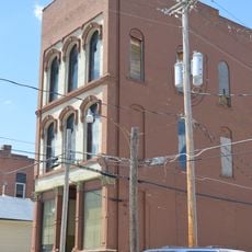
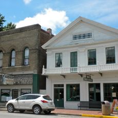
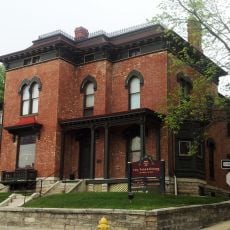
Ralls County is an administrative division in northeastern Missouri that encompasses agricultural land and waterways. The area is bordered by Marion County to the north and Pike County to the southeast, with several small towns distributed throughout.

The county was established in 1820 and named after Daniel Ralls, an early Missouri legislator. This creation marked part of the territorial expansion and the development of local governance in the region.

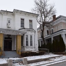
The county reflects the heritage of Kentucky and Tennessee settlers who introduced tobacco and hemp farming to the area. These agricultural traditions continue to shape the landscape and local way of life today.

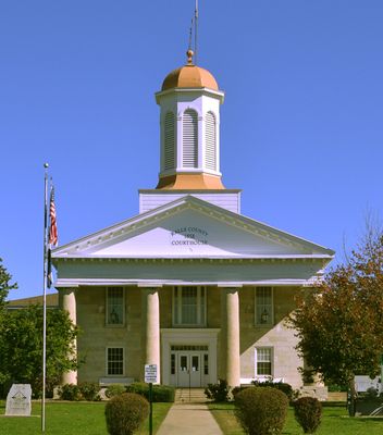
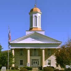
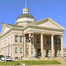
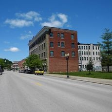
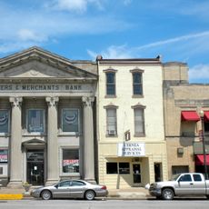
The government offices in New London serve as the main center for property, licensing, legal matters, and tax administration for the area. Staff there can direct visitors to the resources they need for county business.

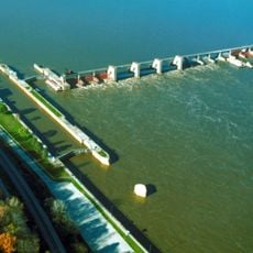
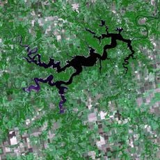
The Clarence Cannon Dam and Mark Twain Lake located here provide water recreation opportunities for the broader region. These features were created by the dam project and have become important destinations for outdoor activities.

The community of curious travelers

AroundUs brings together thousands of curated places, local tips, and hidden gems, enriched daily by 60,000 contributors worldwide.

Start exploring
Location
Inception
1820
Capital city
New London
Shares border with
Monroe County, Marion County, Pike County, Pike County, Audrain County
GPS coordinates
39.53000,-91.53000
Latest update
December 8, 2025 13:41
Around this place
Mark Twain Cave
United States of America

Mark Twain Cave

24.5 km
Rockcliffe Mansion
United States of America

Rockcliffe Mansion

24.3 km
Lock and Dam No. 22
United States of America

Lock and Dam No. 22

27.1 km
St. Paul Catholic Church
United States of America

St. Paul Catholic Church

7.2 km
Hannibal Old Police Station and Jail
United States of America

Hannibal Old Police Station and Jail

24.7 km
James Beauchamp Clark House
United States of America

James Beauchamp Clark House

35.9 km
Ralls County Courthouse and Jail-Sheriff's House
United States of America

Ralls County Courthouse and Jail-Sheriff's House

12.8 km
Buildings at 207–209 South Main St.
United States of America

Buildings at 207–209 South Main St.

24.9 km
Eighth and Center Streets Baptist Church
United States of America

Eighth and Center Streets Baptist Church

24.4 km
Standard Printing Company
United States of America

Standard Printing Company

24.9 km
John Garth House
United States of America

John Garth House

18.7 km
Lincoln School
United States of America

Lincoln School

25.3 km
Davidson Building
United States of America

Davidson Building

25 km
Central Park Historic District
United States of America

Central Park Historic District

24.7 km
Robert Elliott's Wholesale Grocery
United States of America

Robert Elliott's Wholesale Grocery

24.9 km
Maple Avenue Historic District
United States of America

Maple Avenue Historic District

24.7 km
Marion County Courthouse
United States of America

Marion County Courthouse

24.4 km
Ilasco Historic District
United States of America

Ilasco Historic District

24.6 km
Hock Building
United States of America

Hock Building

24.9 km
North Main Street Historic District
United States of America

North Main Street Historic District

25.1 km
Digel Block
United States of America

Digel Block

24.9 km
Broadway District
United States of America

Broadway District

24.9 km
Ebert-Dulany House
United States of America

Ebert-Dulany House

24.8 km
Saverton School
United States of America

Saverton School

25.9 km
Green Double House
United States of America

Green Double House

24.8 km
Benjamin Horr House
United States of America

Benjamin Horr House

24.9 km
Haunted Hannibal Ghost Tours
United States of America

Haunted Hannibal Ghost Tours

25 km
Mark Twain Lake
United States of America

Mark Twain Lake

16.7 km
Show the full map
Administrative divisions
« Ralls County - Administrative county in northeastern Missouri, United States » is provided by Around Us (aroundus.com). Images and texts are derived from Wikimedia project under a Creative Commons license. You are allowed to copy, distribute, and modify copies of this page, under the conditions set by the license, as long as this note is clearly visible.

Discover hidden gems everywhere you go!

From secret cafés to breathtaking viewpoints, skip the crowded tourist spots and find places that match your style. Our app makes it easy with voice search, smart filtering, route optimization, and insider tips from travelers worldwide. Download now for the complete mobile experience.

Around Us App Screenshot

A unique approach to discovering new places

Le Figaro

All the places worth exploring

France Info

A tailor-made excursion in just a few clicks

20 Minutes

Around Us
Travel Guide & Maps
Download

Send to your phone

QR Code
1

Open the camera app on your mobile.

2

Point at the QR code with your camera. A notification will appear.

3

Tap the notification to open the link.