
Morris County, Administrative county in Kansas, United States.
Morris County encompasses 703 square miles of land with Council Grove serving as its county seat and largest municipality within its boundaries.
The territory became officially established as Morris County in 1859, named after Thomas Morris, a United States Senator from Ohio who advocated against slavery.
The area maintains strong connections to Native American heritage through the former Kaw Indian Reservation, which operated near Council Grove from 1846 to 1873.
The county provides access to multiple transportation routes, including U.S. Route 56 and U.S. Route 77, connecting residents to neighboring regions and services.
During the late 1870s, Benjamin Singleton established a settlement for formerly enslaved individuals, known as Exodusters, creating a new migration pattern into Kansas.
Location: Kansas
Inception: February 11, 1859
Capital city: Council Grove
Shares border with: Geary County, Chase County, Wabaunsee County, Lyon County, Marion County, Dickinson County
Website: http://MorrisCountyKS.org
GPS coordinates: 38.70000,-96.63330
Latest update: March 3, 2025 15:29
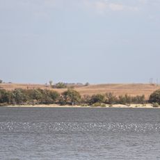
Council Grove Lake
9.9 km
Chase County Courthouse
37.3 km
Last Chance Store
12.9 km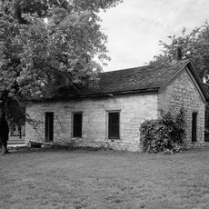
Council Grove Historic District
14.2 km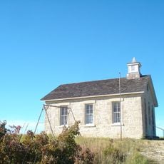
Lower Fox Creek School
29.6 km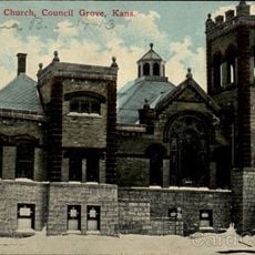
First Baptist Church of Council Grove
13 km
Bartell House
39.8 km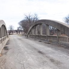
Conroe Bridge
39.8 km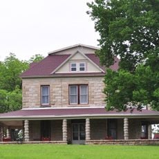
Whitney Ranch
24.9 km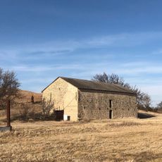
Big John Farm Limestone Bank Barn
16.3 km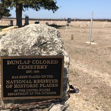
Dunlap Colored Cemetery
27.3 km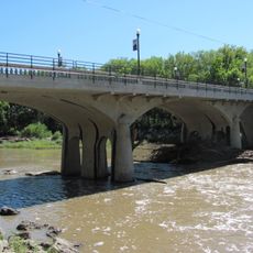
Cottonwood River Bridge
37.1 km
Greenwood Cemetery
12.4 km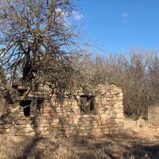
Six Mile Creek Stage Station Historic District
21.9 km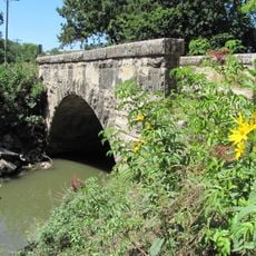
Fox Creek Stone Arch Bridge
34 km
Morris County Courthouse
12.8 km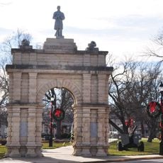
Grand Army of the Republic memorial
40.3 km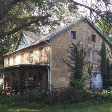
Staatz House
31.1 km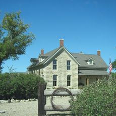
Wood House
38 km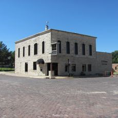
Chase County National Bank
37.4 km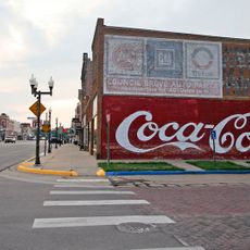
Council Grove Downtown Historic District
13 km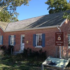
Seth Hays House
13.4 km
Cottonwood Falls Grade School
38 km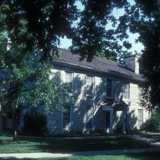
Kaw Mission
12.7 km
Spring Hill Farm and Stock Ranch House
30.3 km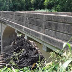
Harris Bridge
30.8 km
Whitney Ranch - House
24.9 km
Junction City Downtown Historic District
40.7 kmReviews
Visited this place? Tap the stars to rate it and share your experience / photos with the community! Try now! You can cancel it anytime.

Discover hidden gems everywhere you go!
From secret cafés to breathtaking viewpoints, skip the crowded tourist spots and find places that match your style. Our app makes it easy with voice search, smart filtering, route optimization, and insider tips from travelers worldwide. Download now for the complete mobile experience.

A unique approach to discovering new places❞
— Le Figaro
All the places worth exploring❞
— France Info
A tailor-made excursion in just a few clicks❞
— 20 Minutes