Enable Location

We need your location to show you interesting places around you

Discover nearby places

Find interesting locations and hidden gems around you

Precise directions

Get accurate directions and distances to places

Your location is never shared with other users. It's only used when you tap the location button.

Morris County

Log in to your account

Start exploring — it's free

Trusted by 63,409 travelers worldwide

Continue with Google
Continue with Apple
or

We will send you a code to connect

By continuing, you accept our Terms and Conditions and our Privacy Policy

Check your inbox

We've sent a pincode in your inbox. Please enter the code below.

Discussion Reviews 1 Photos
8.4k Popularity

Morris County, Administrative county in Kansas, United States.

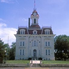
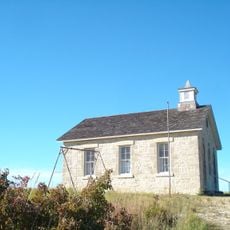
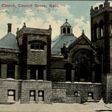
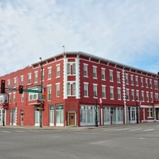
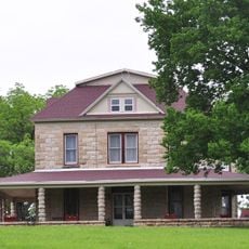
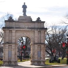
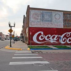
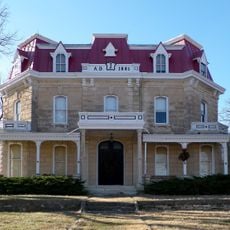
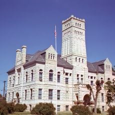
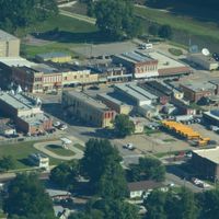
Morris County is an administrative region in Kansas with Council Grove as its county seat and main hub. The landscape spans about 703 square miles and combines rural countryside with small communities throughout.

The region was established as Morris County in 1859, named in honor of Thomas Morris, a U.S. Senator from Ohio. He was recognized for his opposition to slavery during his political career.

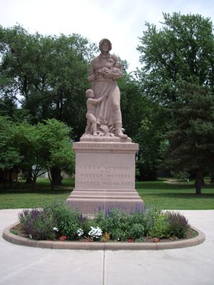
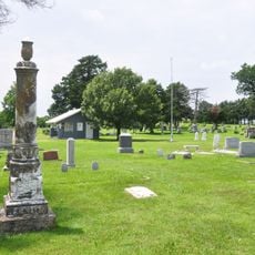
The area carries strong Native American roots through the Kaw people who made this region their home until the mid-1800s. You can sense this heritage in local landmarks and stories that visitors encounter throughout the county.

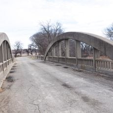
The county is connected by U.S. Route 56 and U.S. Route 77, which link Council Grove to surrounding regions. These main roads make it straightforward to travel between communities and points of interest.

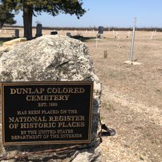
In the late 1870s, Benjamin Singleton established a settlement for formerly enslaved people known as Exodusters. This migration wave became a significant chapter in how African Americans relocated to Kansas and shaped the area's development.

The community of curious travelers

AroundUs brings together thousands of curated places, local tips, and hidden gems, enriched daily by 60,000 contributors worldwide.

Start exploring
Location
Inception
February 11, 1859
Capital city
Council Grove
Shares border with
Geary County, Chase County, Wabaunsee County, Lyon County, Marion County, Dickinson County
GPS coordinates
38.70000,-96.63330
Latest update
December 10, 2025 16:02
Around this place
Council Grove Lake
United States of America

Council Grove Lake

9.9 km
Chase County Courthouse
United States of America

Chase County Courthouse

37.3 km
Last Chance Store
United States of America

Last Chance Store

12.9 km
Council Grove Historic District
United States of America

Council Grove Historic District

14.2 km
Lower Fox Creek School
United States of America

Lower Fox Creek School

29.6 km
First Baptist Church of Council Grove
United States of America

First Baptist Church of Council Grove

13 km
Bartell House
United States of America

Bartell House

39.8 km
Conroe Bridge
United States of America

Conroe Bridge

39.8 km
Whitney Ranch
United States of America

Whitney Ranch

24.9 km
Big John Farm Limestone Bank Barn
United States of America

Big John Farm Limestone Bank Barn

16.3 km
Dunlap Colored Cemetery
United States of America

Dunlap Colored Cemetery

27.3 km
Cottonwood River Bridge
United States of America

Cottonwood River Bridge

37.1 km
Greenwood Cemetery
United States of America

Greenwood Cemetery

12.4 km
Six Mile Creek Stage Station Historic District
United States of America

Six Mile Creek Stage Station Historic District

21.9 km
Fox Creek Stone Arch Bridge
United States of America

Fox Creek Stone Arch Bridge

34 km
Morris County Courthouse
United States of America

Morris County Courthouse

12.8 km
Grand Army of the Republic memorial
United States of America

Grand Army of the Republic memorial

40.3 km
Staatz House
United States of America

Staatz House

31.1 km
Wood House
United States of America

Wood House

38 km
Chase County National Bank
United States of America

Chase County National Bank

37.4 km
Council Grove Downtown Historic District
United States of America

Council Grove Downtown Historic District

13 km
Seth Hays House
United States of America

Seth Hays House

13.4 km
Cottonwood Falls Grade School
United States of America

Cottonwood Falls Grade School

38 km
Kaw Mission
United States of America

Kaw Mission

12.7 km
Spring Hill Farm and Stock Ranch House
United States of America

Spring Hill Farm and Stock Ranch House

30.3 km
Harris Bridge
United States of America

Harris Bridge

30.8 km
Whitney Ranch - House
United States of America

Whitney Ranch - House

24.9 km
Junction City Downtown Historic District
United States of America

Junction City Downtown Historic District

40.7 km
Show the full map
Reviews
Share your experience

No review yet

Discussions
Start a discussion...

No discussion yet

Administrative divisions
« Morris County - Administrative county in Kansas, United States » is provided by Around Us (aroundus.com). Images and texts are derived from Wikimedia project under a Creative Commons license. You are allowed to copy, distribute, and modify copies of this page, under the conditions set by the license, as long as this note is clearly visible.

Discover hidden gems everywhere you go!

From secret cafés to breathtaking viewpoints, skip the crowded tourist spots and find places that match your style. Our app makes it easy with voice search, smart filtering, route optimization, and insider tips from travelers worldwide. Download now for the complete mobile experience.

Around Us App Screenshot

A unique approach to discovering new places

Le Figaro

All the places worth exploring

France Info

A tailor-made excursion in just a few clicks

20 Minutes

Around Us
Travel Guide & Maps
Download

Send to your phone

QR Code
1

Open the camera app on your mobile.

2

Point at the QR code with your camera. A notification will appear.

3

Tap the notification to open the link.