
Gosper County, County administrative division in Nebraska, United States
Gosper County encompasses 458 square miles of land with the Platte River flowing through its northern section and agricultural fields covering 95 percent of its territory.
The county, established in 1873 and named after Nebraska Secretary of State John Gosper, underwent changes in its county seat from Daviesville to Homerville before settling on Elwood.
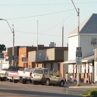
The county population of 1,893 residents maintains strong agricultural traditions, focusing on livestock production and cultivation of corn, soybeans, and wheat across the territory.
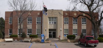
The Gosper County Courthouse at 507 Smith Avenue East in Elwood operates Monday through Friday from 8:30 AM to 4:30 PM, providing governmental services to residents.
The county features multiple recreational areas, including the Gosper National Wildlife Management Area, Johnson Lake State Recreation Area, and Phillips Lake State Recreation Area.
Location: Nebraska
Inception: 1873
Capital city: Elwood
Shares border with: Dawson County, Furnas County, Frontier County, Phelps County
Website: http://co.gosper.ne.us
GPS coordinates: 40.50000,-99.82000
Latest update: March 4, 2025 04:56
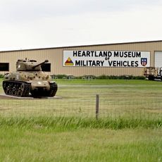
Heartland Museum of Military Vehicles
27.9 km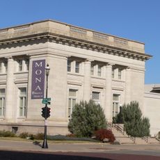
Museum of Nebraska Art
66.3 km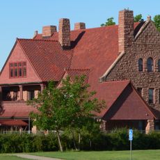
George W. Frank House
64.2 km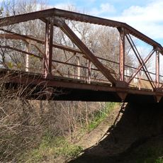
Prairie Dog Creek Bridge
62.3 km
W. H. Faling House
38.2 km
Mowry Bluff Archeological Site
37.1 km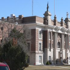
Dawson County Courthouse
31.9 km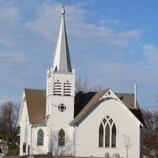
Salem Swedish Methodist Episcopal Church
54.6 km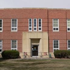
Gosper County Courthouse
10.4 km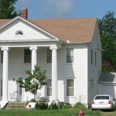
Kinner House
37.7 km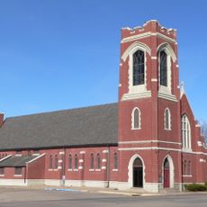
Saint Luke's Protestant Episcopal Church
65.6 km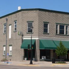
Allen's Opera House
42.4 km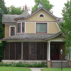
Ernest A. Calling House
56.1 km
Dr. A.O. Thomas House
65.2 km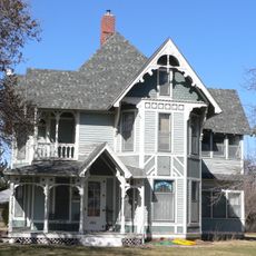
Ira Webster Olive House
32.7 km
Alma City Auditorium and Sale Barn
59.2 km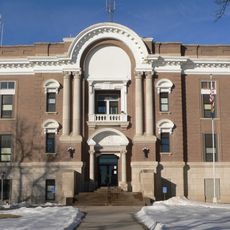
Phelps County Courthouse
38.7 km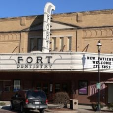
Fort Theatre
66.2 km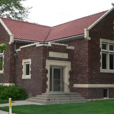
Gothenburg Carnegie Library
55.8 km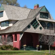
John J. and Lenora Bartlett House
64.8 km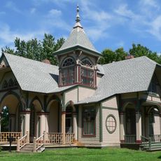
Hanson-Downing House
65.3 km
Klehm House
65.2 km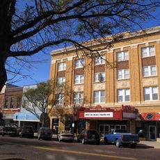
World Theatre
66.2 km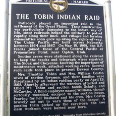
Tobin Indian Raid Historical Marker
37.3 km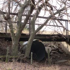
Turkey Creek Bridge
47.3 km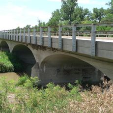
Republican State Aid Bridge
38.7 km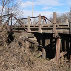
Sappa Creek Bridge
46.8 km
Harry V. Temple House
32.7 kmReviews
Visited this place? Tap the stars to rate it and share your experience / photos with the community! Try now! You can cancel it anytime.
Discover hidden gems everywhere you go!
From secret cafés to breathtaking viewpoints, skip the crowded tourist spots and find places that match your style. Our app makes it easy with voice search, smart filtering, route optimization, and insider tips from travelers worldwide. Download now for the complete mobile experience.

A unique approach to discovering new places❞
— Le Figaro
All the places worth exploring❞
— France Info
A tailor-made excursion in just a few clicks❞
— 20 Minutes