Enable Location

We need your location to show you interesting places around you

Discover nearby places

Find interesting locations and hidden gems around you

Precise directions

Get accurate directions and distances to places

Your location is never shared with other users. It's only used when you tap the location button.

Osage County

Log in to your account

Start exploring — it's free

Trusted by 61,980 travelers worldwide

Continue with Google
Continue with Apple
or

We will send you a code to connect

By continuing, you accept our Terms and Conditions and our Privacy Policy

Check your inbox

We've sent a pincode in your inbox. Please enter the code below.

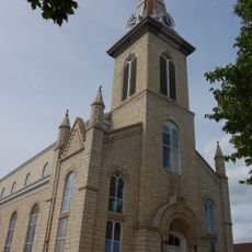
Osage County, Administrative county in central Missouri, US

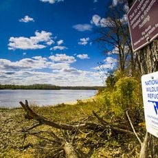
Osage County is an administrative division in central Missouri with a mix of forests, farmland, and river valleys along the Missouri River. The county spreads across gentle landscapes dotted with small towns and rural communities.

Osage County was established in 1841 as an independent county after separating from Gasconade County. This separation reflected the administrative growth and reorganization of Missouri during the 1800s.

The Osage people, for whom the county is named, were native to this region and left their mark on the landscape through settlements and trade routes that settlers later followed.

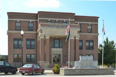
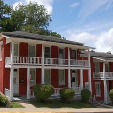
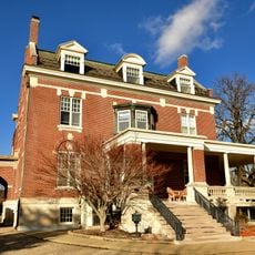
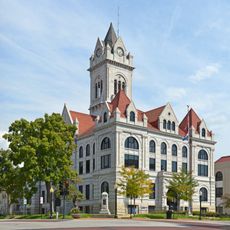
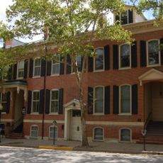
Most government services are located in Linn, the county seat, where you can find offices for health services, emergency management, and tax collection. Access to these services is straightforward from the town's main streets.

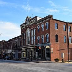
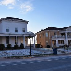
The county seat of Linn is known by the nickname 'the mile-long city' because it stretches in an unusually extended way along its main street. This distinctive layout makes it stand out among towns in the region.

The community of curious travelers

AroundUs brings together thousands of curated places, local tips, and hidden gems, enriched daily by 60,000 contributors worldwide.

Start exploring
Location
Inception
1841
Capital city
Linn
Shares border with
Gasconade County, Callaway County, Montgomery County, Maries County, Miller County, Cole County
GPS coordinates
38.46000,-91.86000
Latest update
December 7, 2025 20:45
Around this place
Missouri State Capitol
United States of America

Missouri State Capitol

30.3 km
Missouri Governor's Mansion
United States of America

Missouri Governor's Mansion

30 km
Big Muddy National Fish and Wildlife Refuge
United States of America

Big Muddy National Fish and Wildlife Refuge

20.4 km
Jefferson Landing State Historic Site
United States of America

Jefferson Landing State Historic Site

30.1 km
United States of America

Missouri State Museum

30.3 km
Jefferson City Bridge
United States of America

Jefferson City Bridge

31.2 km
Missouri State Penitentiary Tours
United States of America

Missouri State Penitentiary Tours

29.2 km
Dauphine Hotel
United States of America

Dauphine Hotel

16 km
St. Francis Xavier Catholic Church and Rectory
United States of America

St. Francis Xavier Catholic Church and Rectory

19 km
Jefferson City National Cemetery
United States of America

Jefferson City National Cemetery

28.9 km
St. Joseph Church
United States of America

St. Joseph Church

12 km
Jefferson Female Seminary
United States of America

Jefferson Female Seminary

29.6 km
Missouri State Capitol Historic District
United States of America

Missouri State Capitol Historic District

30.1 km
Hobo Hill Historic District
United States of America

Hobo Hill Historic District

29.7 km
Hugh and Bessie Stephens House
United States of America

Hugh and Bessie Stephens House

29.7 km
Philip Hess House
United States of America

Philip Hess House

30.5 km
Ivy Terrace
United States of America

Ivy Terrace

29.5 km
Jefferson City Community Center
United States of America

Jefferson City Community Center

29.5 km
Lohman's Landing Building
United States of America

Lohman's Landing Building

30 km
Villa Panorama
United States of America

Villa Panorama

31.4 km
Cole County Courthouse and Jail-Sheriff's House
United States of America

Cole County Courthouse and Jail-Sheriff's House

29.8 km
William E. and Frederica M. Zuendt House
United States of America

William E. and Frederica M. Zuendt House

30.5 km
Capitol Avenue Historic District
United States of America

Capitol Avenue Historic District

29.3 km
Bonnots Mill Historic District
United States of America

Bonnots Mill Historic District

15.8 km
Moreau Park Historic District
United States of America

Moreau Park Historic District

27.6 km
Henry and Elizabeth Bockrath House
United States of America

Henry and Elizabeth Bockrath House

30.7 km
Missouri State Penitentiary Warden's House
United States of America

Missouri State Penitentiary Warden's House

29.2 km
Cole County Historical Society Building
United States of America

Cole County Historical Society Building

29.9 km
Show the full map
Administrative divisions
« Osage County - Administrative county in central Missouri, US » is provided by Around Us (aroundus.com). Images and texts are derived from Wikimedia project under a Creative Commons license. You are allowed to copy, distribute, and modify copies of this page, under the conditions set by the license, as long as this note is clearly visible.

Discover hidden gems everywhere you go!

From secret cafés to breathtaking viewpoints, skip the crowded tourist spots and find places that match your style. Our app makes it easy with voice search, smart filtering, route optimization, and insider tips from travelers worldwide. Download now for the complete mobile experience.

Around Us App Screenshot

A unique approach to discovering new places

Le Figaro

All the places worth exploring

France Info

A tailor-made excursion in just a few clicks

20 Minutes

Around Us
Travel Guide & Maps
Download

Send to your phone

QR Code
1

Open the camera app on your mobile.

2

Point at the QR code with your camera. A notification will appear.

3

Tap the notification to open the link.