Enable Location

We need your location to show you interesting places around you

Discover nearby places

Find interesting locations and hidden gems around you

Precise directions

Get accurate directions and distances to places

Your location is never shared with other users. It's only used when you tap the location button.

Wilson County

Log in to your account

Start exploring — it's free

Trusted by 62,036 travelers worldwide

Continue with Google
Continue with Apple
or

We will send you a code to connect

By continuing, you accept our Terms and Conditions and our Privacy Policy

Check your inbox

We've sent a pincode in your inbox. Please enter the code below.

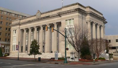
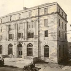
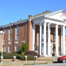
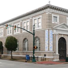
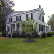
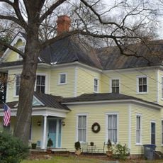
Wilson County, Administrative county in eastern North Carolina, US

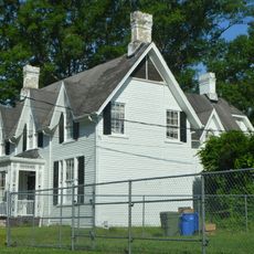
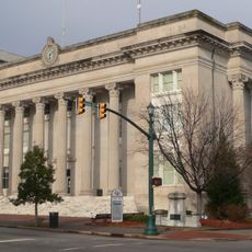
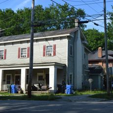
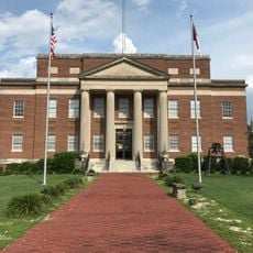
Wilson County is an administrative division in eastern North Carolina with farmland, residential areas, and the city of Wilson at its center. The region contains several communities and serves as an economic and civic hub for the surrounding area.

The state legislature created this county on February 13, 1855, by joining parts of four neighboring counties. This formation reflected the region's growth and the need for closer local administration.

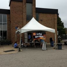
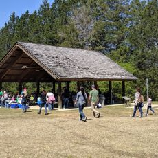
The Wilson County Fair brings neighbors together each year to celebrate local farming, crafts, and regional traditions. This event serves as a gathering place where the community shares what matters to them.

Major highways including Interstate 95 and U.S. Route 264 cross through the county, making it easy to travel to other cities in the state. Visitors can navigate the region by car with straightforward road connections.

From 1951 to 1960, a dirt racing track at the fairgrounds hosted major motorsport competitions that drew attention from across the nation. This era marked a memorable chapter in the region's sporting past.

The community of curious travelers

AroundUs brings together thousands of curated places, local tips, and hidden gems, enriched daily by 60,000 contributors worldwide.

Start exploring
Location
Inception
February 13, 1855
Capital city
Wilson
Shares border with
Nash County, Edgecombe County, Pitt County, Greene County, Wayne County, Johnston County
GPS coordinates
35.70000,-77.92000
Latest update
December 7, 2025 19:22
Around this place
Fort Neoheroka
United States of America

Fort Neoheroka

30.1 km
Rocky Mount Mills
United States of America

Rocky Mount Mills

30.7 km
Coolmore Plantation
United States of America

Coolmore Plantation

38.5 km
Imagination Station Science Museum
United States of America

Imagination Station Science Museum

2.9 km
Rose Hill
United States of America

Rose Hill

34.8 km
Rocky Mount Mills Village Historic District
United States of America

Rocky Mount Mills Village Historic District

30.5 km
Bissette-Cooley House
United States of America

Bissette-Cooley House

30.8 km
Rocky Mount Central City Historic District
United States of America

Rocky Mount Central City Historic District

29.9 km
George and Neva Barbee House
United States of America

George and Neva Barbee House

38.6 km
Odd Fellows Lodge
United States of America

Odd Fellows Lodge

35.9 km
Davis-Whitehead-Harriss House
United States of America

Davis-Whitehead-Harriss House

3.6 km
Dortch House
United States of America

Dortch House

34.9 km
First Presbyterian Church
United States of America

First Presbyterian Church

35.6 km
West Haven Historic District
United States of America

West Haven Historic District

28.6 km
Braswell Memorial Library
United States of America

Braswell Memorial Library

30 km
Nash County Courthouse
United States of America

Nash County Courthouse

31 km
Branch Banking & Trust Company Building
United States of America

Branch Banking & Trust Company Building

2.9 km
Kenansville Historic District
United States of America

Kenansville Historic District

29.3 km
Falls Road Historic District
United States of America

Falls Road Historic District

30 km
Moses Rountree House
United States of America

Moses Rountree House

3.8 km
Wilson County Courthouse
United States of America

Wilson County Courthouse

3.6 km
Old Wilson Historic District
United States of America

Old Wilson Historic District

3.5 km
Greene County Courthouse
United States of America

Greene County Courthouse

35.4 km
Hastings-McKinnie House
United States of America

Hastings-McKinnie House

34.1 km
The Imperial Centre for the Arts & Sciences
United States of America

The Imperial Centre for the Arts & Sciences

29.6 km
City of Rocky Mount Senior Center
United States of America

City of Rocky Mount Senior Center

28.6 km
Freeman Round House
United States of America

Freeman Round House

2.7 km
Charles B Aycock Birthplace
United States of America

Charles B Aycock Birthplace

20.6 km
Show the full map
Administrative divisions
« Wilson County - Administrative county in eastern North Carolina, US » is provided by Around Us (aroundus.com). Images and texts are derived from Wikimedia project under a Creative Commons license. You are allowed to copy, distribute, and modify copies of this page, under the conditions set by the license, as long as this note is clearly visible.

Discover hidden gems everywhere you go!

From secret cafés to breathtaking viewpoints, skip the crowded tourist spots and find places that match your style. Our app makes it easy with voice search, smart filtering, route optimization, and insider tips from travelers worldwide. Download now for the complete mobile experience.

Around Us App Screenshot

A unique approach to discovering new places

Le Figaro

All the places worth exploring

France Info

A tailor-made excursion in just a few clicks

20 Minutes

Around Us
Travel Guide & Maps
Download

Send to your phone

QR Code
1

Open the camera app on your mobile.

2

Point at the QR code with your camera. A notification will appear.

3

Tap the notification to open the link.