Chest opened
+${chestReward.xp} XP
Explorer
NOUVEAU ×${chestReward.collectible.quantity}
tapez pour fermer
Chest locked

Open chests in the app

Around Us is built for your phone — chests unlock when you walk, explore and capture nearby places.

Enable Location

We need your location to show you interesting places around you

Discover nearby places

Find interesting locations and hidden gems around you

Precise directions

Get accurate directions and distances to places

Your location is never shared with other users. It's only used when you tap the location button.

Randolph

Log in to your account

Start exploring — it's free

Trusted by 72,891 travelers worldwide

Continue with Google
Continue with Apple
or

We will send you a code to connect

By continuing, you accept our Terms and Conditions and our Privacy Policy

Check your inbox

We've sent a pincode in your inbox. Please enter the code below.

Discussion Reviews 1 Photos
1.6k Popularity

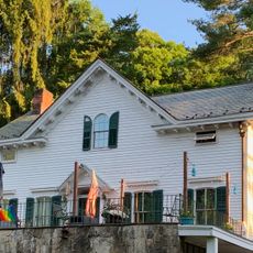
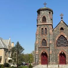
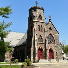
Randolph, Township in Morris County, New Jersey

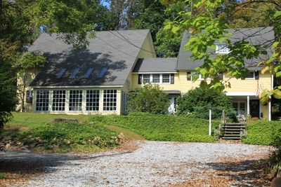
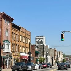
Randolph is a township in Morris County in northeastern New Jersey with a mix of residential neighborhoods and commercial areas. The community contains schools, parks, and local roads that connect different sections of the township.

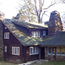
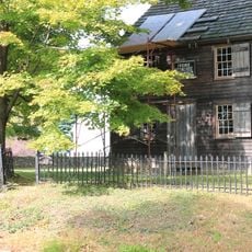
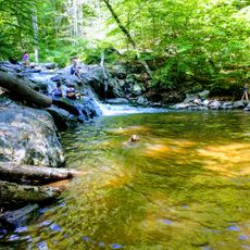
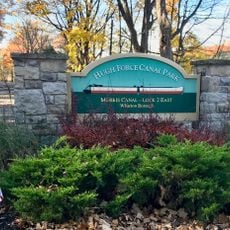
Iron mining began in the region in the early 18th century and played a role during the American independence period. This early industry shaped the settlement's development over time.

The Randolph High School Theater Production stages adaptations of classical works, including Shakespeare plays with modern interpretations for community engagement.

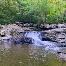
The township has several parks with recreational facilities available for visitors to enjoy. Local roads connect different areas, making it easy to move between neighborhoods and amenities.

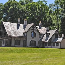
Mid-20th century visitors could experience the township as a holiday spot where entertainers from the region came to perform. Local venues hosted performers during this period of growth.

The community of curious travelers

AroundUs brings together thousands of curated places, local tips, and hidden gems, enriched daily by 60,000 contributors worldwide.

Start exploring
Location
Inception
January 1, 1806
Shares border with
Roxbury Township, Rockaway Township, Mine Hill Township, Dover, Victory Gardens, Denville Township, Parsippany-Troy Hills, Morris Township, Mendham Township, Chester Township
GPS coordinates
40.84170,-74.57830
Latest update
December 14, 2025 14:24
Around this place
Craftsman Farms
United States of America

Craftsman Farms

8.3 km
Fosterfields
United States of America

Fosterfields

7.6 km
Blackwell Street Historic District
United States of America

Blackwell Street Historic District

5 km
Friends Meetinghouse
United States of America

Friends Meetinghouse

2.7 km
Baker Building
United States of America

Baker Building

5 km
King Store and Homestead
United States of America

King Store and Homestead

7.4 km
Timothy Mills House
United States of America

Timothy Mills House

8.7 km
Washington Valley Historic District
United States of America

Washington Valley Historic District

6.2 km
Ledgewood Historic District
United States of America

Ledgewood Historic District

7.7 km
Tempe Wick Road-Washington Corners Historic District
United States of America

Tempe Wick Road-Washington Corners Historic District

8.6 km
Mount Freedom Presbyterian Church
United States of America

Mount Freedom Presbyterian Church

1.6 km
Combs Hollow Historic District
United States of America

Combs Hollow Historic District

4.3 km
Lafayette School
United States of America

Lafayette School

8.3 km
Silas Riggs House
United States of America

Silas Riggs House

7.5 km
Washington Valley Schoolhouse
United States of America

Washington Valley Schoolhouse

5.6 km
John Smith House
United States of America

John Smith House

5.9 km
Bridget Smith House
United States of America

Bridget Smith House

3.9 km
First United Methodist Church
United States of America

First United Methodist Church

5.1 km
First Presbyterian Church
United States of America

First Presbyterian Church

8.8 km
Buttermilk Falls Natural Area
United States of America

Buttermilk Falls Natural Area

5.7 km
St John's Episcopal Church
United States of America

St John's Episcopal Church

5.1 km
Buttermilk Falls
United States of America

Buttermilk Falls

5.9 km
First Memorial Presbyterian Church
United States of America

First Memorial Presbyterian Church

4.9 km
St. Mary's Church Historic District
United States of America

St. Mary's Church Historic District

5 km
St. Mary's Church
United States of America

St. Mary's Church

5 km
The Stickley Museum at Craftsman Farms
United States of America

The Stickley Museum at Craftsman Farms

8.3 km
Brookside Historic District
United States of America

Brookside Historic District

5.4 km
Hugh Force Canal Park
United States of America

Hugh Force Canal Park

6.8 km
Show the full map
Reviews
Share your experience

No review yet

Discussions
Start a discussion...

No discussion yet

« Randolph - Township in Morris County, New Jersey » is provided by Around Us (aroundus.com). Images and texts are derived from Wikimedia project under a Creative Commons license. You are allowed to copy, distribute, and modify copies of this page, under the conditions set by the license, as long as this note is clearly visible.

Discover hidden gems everywhere you go!

From secret cafés to breathtaking viewpoints, skip the crowded tourist spots and find places that match your style. Our app makes it easy with voice search, smart filtering, route optimization, and insider tips from travelers worldwide. Download now for the complete mobile experience.

Around Us App Screenshot

A unique approach to discovering new places

Le Figaro

All the places worth exploring

France Info

A tailor-made excursion in just a few clicks

20 Minutes

Around Us
Travel Guide & Maps
Download

Send to your phone

QR Code
1

Open the camera app on your mobile.

2

Point at the QR code with your camera. A notification will appear.

3

Tap the notification to open the link.