Greers Ferry Lake, Reservoir in Arkansas, United States
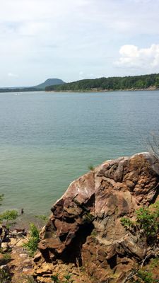
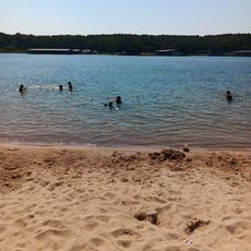
Greers Ferry Lake is a reservoir in northern Arkansas formed by two connected water bodies and numerous coves. The water often appears exceptionally clear because cold deep water is released through the dam, so swimmers and divers can frequently see the bottom.
The dam was built in the early 1960s, flooding several settlements and farmsteads in the valley. The project was designed mainly for flood control and power generation but quickly became a recreation area for surrounding communities.
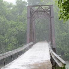
The name comes from a 19th-century ferry crossing that once carried travelers over the Little Red River. Today anglers gather especially at Sugar Loaf Mountain Marina, where local fishers often share advice about the best seasons for certain species.
Most access ramps and campgrounds concentrate along the southern and western shorelines, where the terrain is flatter. In summer the water in shallow coves can be noticeably warmer than near the dam, which influences where people choose to swim.
Below the water surface lie remains of old roads and building foundations from the former settlement of Higden, sometimes visible at low water levels. Divers occasionally report encounters with large catfish that shelter in these submerged structures.
The community of curious travelers
AroundUs brings together thousands of curated places, local tips, and hidden gems, enriched daily by 60,000 contributors worldwide.