Chest opened
+${chestReward.xp} XP
Explorer
NOUVEAU ×${chestReward.collectible.quantity}
tapez pour fermer

See the monuments around you in AR Open chests in the app

Around Us is built for your phone — point your camera at the streets and discover the monuments and places around you in augmented reality. Around Us is built for your phone — chests unlock when you walk, explore and capture nearby places.

Enable Location

We need your location to show you interesting places around you

Discover nearby places

Find interesting locations and hidden gems around you

Precise directions

Get accurate directions and distances to places

Your location is never shared with other users. It's only used when you tap the location button.

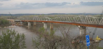
Hermann Bridge

Log in to your account

Start exploring — it's free

Trusted by 86,124 travelers worldwide

Continue with Google
Continue with Apple
or

We will send you a code to connect

By continuing, you accept our Terms and Conditions and our Privacy Policy

Check your inbox

We've sent a pincode in your inbox. Please enter the code below.

Hermann Bridge
Discussion Reviews 1 Photos
1.2k Popularity

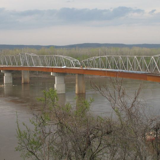
Hermann Bridge, Steel bridge in Hermann, Missouri

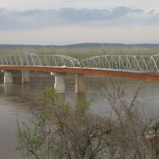
Hermann Bridge is a steel structure crossing the Missouri River between Gasconade County and Montgomery County. The roadway includes two driving lanes, wider shoulders for safety, and a separate path for bicycles and pedestrians.

The original bridge opened in 1930 and served the region for several decades before needing replacement. A new structure was built in 2007 to accommodate modern traffic demands and safety standards.

Florence Mundwiller Kelley participated in ribbon-cutting ceremonies for both the 1930 original bridge and its 2007 replacement, spanning generations of local history.

The bridge provides safe passage with well-defined lanes and shoulders for all users. Traffic can be steady during peak hours, so plan your crossing accordingly.

Benjamin Price of McKittrick marked the 1930 bridge dedication by driving his mule team across the structure in the early morning hours.

The community of curious travelers

AroundUs brings together thousands of curated places, local tips, and hidden gems, enriched daily by 60,000 contributors worldwide.
Start exploring
Location
GPS coordinates
38.70970,-91.43830
Latest update
September 12, 2026 07:43
Around this place
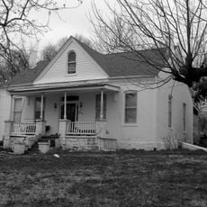
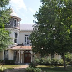
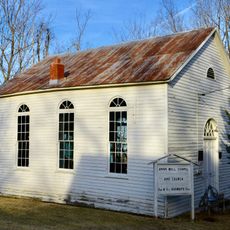
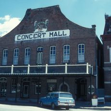
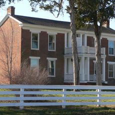
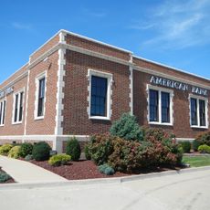
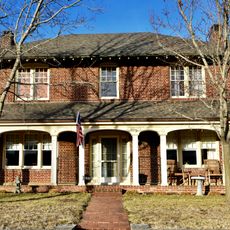
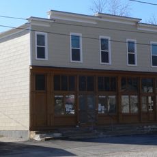
Stone Hill Winery
United States of America

Stone Hill Winery

1 mi
Graham Cave State Park
United States of America

Graham Cave State Park

15.6 mi
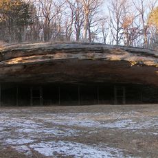
Graham Cave
United States of America

Graham Cave

15.4 mi
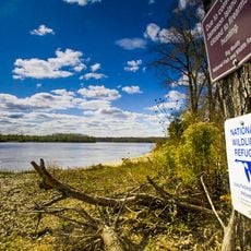
Big Muddy National Fish and Wildlife Refuge
United States of America

Big Muddy National Fish and Wildlife Refuge

19.4 mi
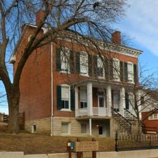
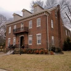
Deutschheim State Historic Site
United States of America

Deutschheim State Historic Site

0.2 mi
Christopher S. Bond Bridge
United States of America

Christopher S. Bond Bridge

170 ft
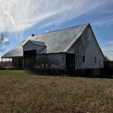
Wilhelm Pelster House-Barn
United States of America

Wilhelm Pelster House-Barn

17.5 mi
Henry and Elizabeth Ernst House
United States of America

Henry and Elizabeth Ernst House

25.1 mi
Ernst Schowengerdt House
United States of America

Ernst Schowengerdt House

17.3 mi
AME Church of New Haven
United States of America

AME Church of New Haven

13.8 mi
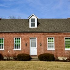
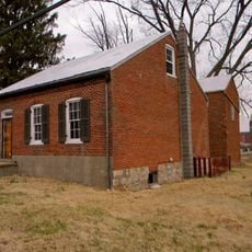
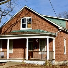
Hermann Historic District
United States of America

Hermann Historic District

0.4 mi
Sylvester Marion and Frances Anne Stephens Baker House
United States of America

Sylvester Marion and Frances Anne Stephens Baker House

14.5 mi
Southwestern Bell Repeater Station-Wright City
United States of America

Southwestern Bell Repeater Station-Wright City

22.8 mi
New Haven Residential Historic District
United States of America

New Haven Residential Historic District

13.8 mi
New Haven Commercial Historic District
United States of America

New Haven Commercial Historic District

13.8 mi
Farmers Mercantile Co. Building
United States of America

Farmers Mercantile Co. Building

12 mi
Brehe Farmstead Historic District
United States of America

Brehe Farmstead Historic District

23.2 mi
Huber's Ferry Farmstead Historic District
United States of America

Huber's Ferry Farmstead Historic District

18.1 mi
Tibbe Historic District
United States of America

Tibbe Historic District

25.1 mi
Bartsch-Jasper House
United States of America

Bartsch-Jasper House

24.6 mi
John F. Schwegmann House
United States of America

John F. Schwegmann House

25 mi
Albert Krog House
United States of America

Albert Krog House

24.1 mi
Casper Kruse House
United States of America

Casper Kruse House

24.9 mi
Frank Mense House
United States of America

Frank Mense House

24.6 mi
Joseph Raaf House
United States of America

Joseph Raaf House

24.6 mi
Louis Kohmueller House
United States of America

Louis Kohmueller House

24.2 mi
Paul Monje House
United States of America

Paul Monje House

24.7 mi
Wildey Cemetery
United States of America

Wildey Cemetery

24.7 mi
Show the full map
Reviews
Share your experience

No review yet

Discussions
Start a discussion...

No discussion yet

« Hermann Bridge - Steel bridge in Hermann, Missouri » is provided by Around Us (aroundus.com). Images and texts are derived from Wikimedia project under a Creative Commons license. You are allowed to copy, distribute, and modify copies of this page, under the conditions set by the license, as long as this note is clearly visible.

Discover hidden gems everywhere you go!

From secret cafés to breathtaking viewpoints, skip the crowded tourist spots and find places that match your style. Our app makes it easy with voice search, smart filtering, route optimization, and insider tips from travelers worldwide. Download now for the complete mobile experience.
Around Us App Screenshot

A unique approach to discovering new places

Le Figaro

All the places worth exploring

France Info

A tailor-made excursion in just a few clicks

20 Minutes

Around Us
Travel Guide & Maps
Download

Send to your phone

QR Code
1

Open the camera app on your mobile.

2

Point at the QR code with your camera. A notification will appear.

3

Tap the notification to open the link.