Enable Location

We need your location to show you interesting places around you

Discover nearby places

Find interesting locations and hidden gems around you

Precise directions

Get accurate directions and distances to places

Your location is never shared with other users. It's only used when you tap the location button.

Piety Corner Historic District

Log in to your account

Start exploring — it's free

Trusted by 61,559 travelers worldwide

Continue with Google
Continue with Apple
or

We will send you a code to connect

By continuing, you accept our Terms and Conditions and our Privacy Policy

Check your inbox

We've sent a pincode in your inbox. Please enter the code below.

Piety Corner Historic District, Historic district in Waltham, Massachusetts.

Description

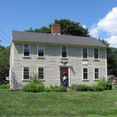
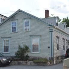
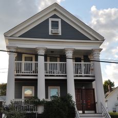
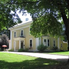
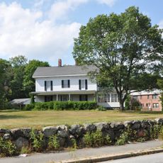
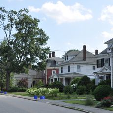
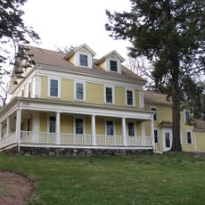
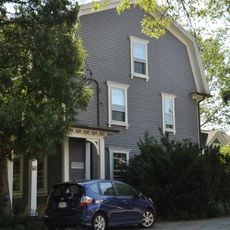
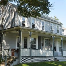
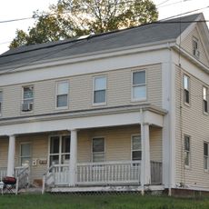
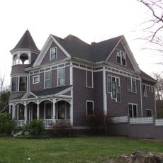
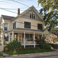
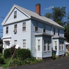
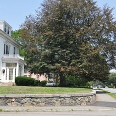
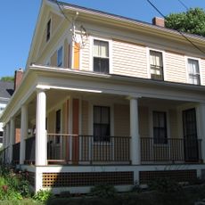
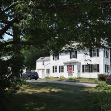
Piety Corner Historic District is a residential area in Waltham at the intersection of Totten Pond Road with Lexington and Bacon Street, containing homes from the 1800s and early 1900s. The neighborhood runs south from Totten Pond Road along Bacon Street to Greenwood Lane and continues east along Lexington Street to Beaver Street.

History

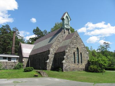
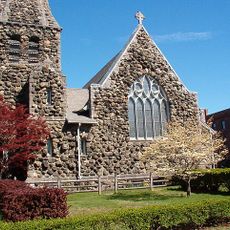
The area was known as Hosier's Corner in the late 1600s and took its current name because several ministers made their homes here. This connection to religious leaders shaped how the neighborhood developed over time.

Culture

The neighborhood grew around religious institutions established in the mid-1800s that shaped its character. You can feel this spiritual focus reflected in how the buildings are arranged and in the homes that surround the center.

Practical

The district is best explored on foot, as the streets create a compact walking route through the neighborhood. Start at Totten Pond Road and work your way south and east to see the full extent of the historic homes.

Did you know?

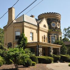
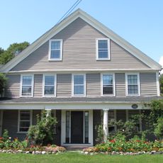
An octagonal house built in 1875 at 361 Bacon Street stands out as an unusual architectural form among the typical rectangular homes of the area. This distinctive design makes it the most eye-catching individual building in the district.

Location
GPS coordinates
42.38889,-71.23861
Latest update
December 14, 2025 14:21

AroundUs brings together thousands of curated places, local tips, and hidden gems, enriched daily by 60,000 contributors worldwide. Discover all places nearby (Massachusetts).

Around this place
Lyman Estate
United States of America

Lyman Estate

1 km
Robert Treat Paine Estate
United States of America

Robert Treat Paine Estate

603 m
Central Square Historic District
United States of America

Central Square Historic District

1.5 km
Christ Episcopal Church
United States of America

Christ Episcopal Church

1.5 km
Lord's Castle
United States of America

Lord's Castle

920 m
Francis Buttrick Library
United States of America

Francis Buttrick Library

1.4 km
First Parish Church
United States of America

First Parish Church

1.2 km
Nathan Sanderson I House
United States of America

Nathan Sanderson I House

640 m
Waltham High School
United States of America

Waltham High School

1.2 km
United States Post Office–Waltham Main
United States of America

United States Post Office–Waltham Main

1.5 km
Daniel French School
United States of America

Daniel French School

1.3 km
William Gibbs House
United States of America

William Gibbs House

1.4 km
Perez Smith House
United States of America

Perez Smith House

386 m
Rev. Thomas Hill House
United States of America

Rev. Thomas Hill House

1.1 km
Prospect House
United States of America

Prospect House

1.5 km
Lyman Street Historic District
United States of America

Lyman Street Historic District

1.3 km
Nathan Sanderson II House
United States of America

Nathan Sanderson II House

629 m
Nahum Hardy House
United States of America

Nahum Hardy House

1.2 km
Hagar-Smith-Livermore-Sanderson House
United States of America

Hagar-Smith-Livermore-Sanderson House

549 m
Sanderson-Clark Farmhouse
United States of America

Sanderson-Clark Farmhouse

542 m
Marshall Smith House
United States of America

Marshall Smith House

1.3 km
Newell D. Johnson House
United States of America

Newell D. Johnson House

235 m
Mount Prospect School for Boys
United States of America

Mount Prospect School for Boys

468 m
E. Sybbill Banks House
United States of America

E. Sybbill Banks House

1.5 km
John M. Peck House
United States of America

John M. Peck House

1.3 km
North Lexington Street Historic District
United States of America

North Lexington Street Historic District

464 m
Josiah Beard House
United States of America

Josiah Beard House

1.3 km
John Sanderson House
United States of America

John Sanderson House

656 m
Show the full map
« Piety Corner Historic District - Historic district in Waltham, Massachusetts » is provided by Around Us (aroundus.com). Images and texts are derived from Wikimedia project under a Creative Commons license. You are allowed to copy, distribute, and modify copies of this page, under the conditions set by the license, as long as this note is clearly visible.

Discover hidden gems everywhere you go!

From secret cafés to breathtaking viewpoints, skip the crowded tourist spots and find places that match your style. Our app makes it easy with voice search, smart filtering, route optimization, and insider tips from travelers worldwide. Download now for the complete mobile experience.

Around Us App Screenshot

A unique approach to discovering new places

Le Figaro

All the places worth exploring

France Info

A tailor-made excursion in just a few clicks

20 Minutes

Around Us
Travel Guide & Maps
Download

Send to your phone

QR Code
1

Open the camera app on your mobile.

2

Point at the QR code with your camera. A notification will appear.

3

Tap the notification to open the link.