Congress Lands South and East of the First Principal Meridian, Land parcel in Ohio, United States.
Congress Lands South and East of the First Principal Meridian is a land area in northwestern Ohio divided into rectangular sections across multiple townships. Each township contains 36 one-mile square sections, creating a uniform grid pattern that covers the entire region.
The foundation for this land distribution came from the Ordinance of 1785, an early federal effort to systematically organize western territories. This ordinance established the grid survey method used to divide and sell federal lands to settlers in an organized pattern.
Section 16 in each township was set aside for public schools, showing that early American settlers prioritized education from the start. This reservation meant that communities had built-in resources to establish schools as they grew.
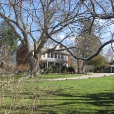
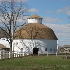
Visitors to these areas today will find mostly farmland and open fields, as most parcels were developed for agriculture. The original survey structure remains partially visible in modern road layouts and landscape boundaries, though much of the terrain has changed significantly over time.
The townships in this region follow a specific naming system based on their position relative to a baseline at 41 degrees north latitude. This coordinate system made it easy for settlers to locate and describe properties, making it one of the earliest examples of systematic land coding in America.
The community of curious travelers
AroundUs brings together thousands of curated places, local tips, and hidden gems, enriched daily by 60,000 contributors worldwide.