Chest opened
+${chestReward.xp} XP
Explorer
NOUVEAU ×${chestReward.collectible.quantity}
tapez pour fermer
Chest locked

Open chests in the app

Around Us is built for your phone — chests unlock when you walk, explore and capture nearby places.

Enable Location

We need your location to show you interesting places around you

Discover nearby places

Find interesting locations and hidden gems around you

Precise directions

Get accurate directions and distances to places

Your location is never shared with other users. It's only used when you tap the location button.

Log in to your account

Start exploring — it's free

Trusted by 72,888 travelers worldwide

Continue with Google
Continue with Apple
or

We will send you a code to connect

By continuing, you accept our Terms and Conditions and our Privacy Policy

Check your inbox

We've sent a pincode in your inbox. Please enter the code below.

Three Notch'd Road
Discussion Reviews Photo
8.8k Popularity

Three Notch'd Road, Colonial transportation route in Central Virginia, United States.

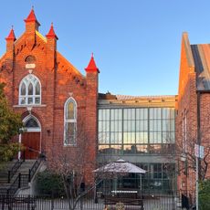
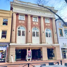
Three Notch'd Road is a historic transportation route that runs from Richmond to the Shenandoah Valley, crossing the Blue Ridge Mountains through Jarmans Gap. The original path passes through central Virginia and is now partly followed by modern U.S. Route 250 and sections of Interstate 64.

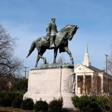
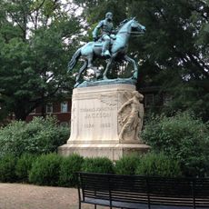
The route developed during colonial times as a horse trail connecting Richmond with western settlements. In 1781, Jack Jouett famously rode the road at night to warn Governor Thomas Jefferson of approaching British troops during the Revolutionary War.

The road's name comes from colonial trail markers - three notches carved into trees to help travelers find their way through Virginia's forests. This simple marking system became so recognizable that people began calling the route by this distinctive feature.

The best time to explore is during daylight hours when the road is clearly visible and traffic is predictable. Travelers should note that the original route is now divided among several modern roads, so a map is helpful for following the historical path.

The road once served as a boundary between two Anglican parishes and provided a crossing point over the Rivanna River. These dual roles reveal how the route shaped the region's administration and infrastructure beyond simply serving travelers.

The community of curious travelers

AroundUs brings together thousands of curated places, local tips, and hidden gems, enriched daily by 60,000 contributors worldwide.

Start exploring
Location
GPS coordinates
38.02950,-78.47720
Latest update
December 10, 2025 16:00
Reviews
Share your experience

No review yet

Discussions
Start a discussion...

No discussion yet

« Three Notch'd Road - Colonial transportation route in Central Virginia, United States » is provided by Around Us (aroundus.com). Images and texts are derived from Wikimedia project under a Creative Commons license. You are allowed to copy, distribute, and modify copies of this page, under the conditions set by the license, as long as this note is clearly visible.

Discover hidden gems everywhere you go!

From secret cafés to breathtaking viewpoints, skip the crowded tourist spots and find places that match your style. Our app makes it easy with voice search, smart filtering, route optimization, and insider tips from travelers worldwide. Download now for the complete mobile experience.

Around Us App Screenshot

A unique approach to discovering new places

Le Figaro

All the places worth exploring

France Info

A tailor-made excursion in just a few clicks

20 Minutes

Around Us
Travel Guide & Maps
Download

Send to your phone

QR Code
1

Open the camera app on your mobile.

2

Point at the QR code with your camera. A notification will appear.

3

Tap the notification to open the link.