
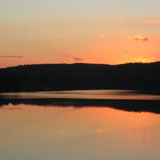
Upper Paxton Township, township in northwestern Dauphin County, Pennsylvania

Little Buffalo State Park
27.1 km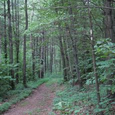
Joseph E. Ibberson Conservation Area
23.2 km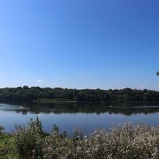
Clemson Island Prehistoric District
18 km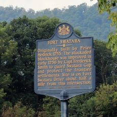
Fort Swatara
23.5 km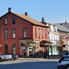
Newport Historic District
22.7 km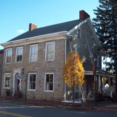
Gov. Simon Snyder Mansion
20.7 km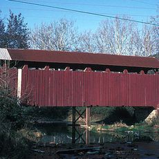
North Oriental Covered Bridge
6.5 km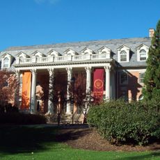
Selinsgrove Hall and Seibert Hall
20.3 km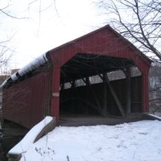
Aline Covered Bridge
6.1 km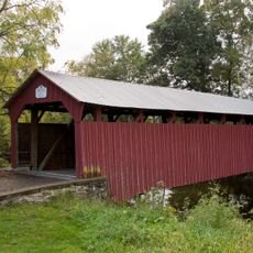
Dreese's Covered Bridge
23.4 km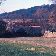
East Oriental Covered Bridge
4.6 km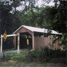
Himmel's Church Covered Bridge
22.2 km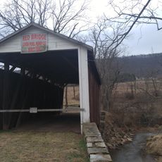
Red Covered Bridge
8.6 km
Selinsgrove Bridge
21.3 km
Bridge between Monroe and Penn Townships
23 km
Dimmsville Covered Bridge
16.1 km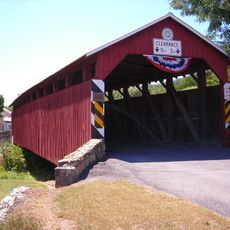
Gross Covered Bridge
25.9 km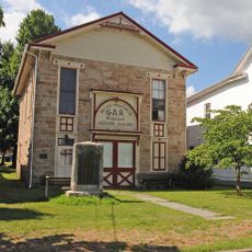
GAR Building
22.1 km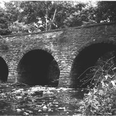
Bridge in Newport Borough
22.8 km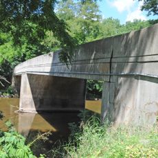
Dauphin County Bridge No. 27
7.9 km
John Ayres House
25.4 km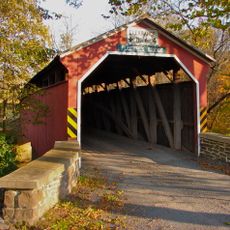
Fleisher Covered Bridge
23.4 km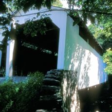
Henniger Farm Covered Bridge
15 km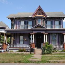
Romberger-Stover House
12 km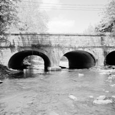
Bridge in Reed Township
24.3 km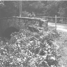
Bridge in Lykens Township No. 2
24.1 km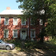
Caspar Snyder House
19.5 km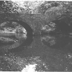
Bridge in Lykens Township No. 1
21.8 kmVisited this place? Tap the stars to rate it and share your experience / photos with the community! Try now! You can cancel it anytime.
Discover hidden gems everywhere you go!
From secret cafés to breathtaking viewpoints, skip the crowded tourist spots and find places that match your style. Our app makes it easy with voice search, smart filtering, route optimization, and insider tips from travelers worldwide. Download now for the complete mobile experience.

A unique approach to discovering new places❞
— Le Figaro
All the places worth exploring❞
— France Info
A tailor-made excursion in just a few clicks❞
— 20 Minutes