Chest opened
+${chestReward.xp} XP
Explorer
NOUVEAU ×${chestReward.collectible.quantity}
tapez pour fermer

See the monuments around you in AR Open chests in the app

Around Us is built for your phone — point your camera at the streets and discover the monuments and places around you in augmented reality. Around Us is built for your phone — chests unlock when you walk, explore and capture nearby places.

Enable Location

We need your location to show you interesting places around you

Discover nearby places

Find interesting locations and hidden gems around you

Precise directions

Get accurate directions and distances to places

Your location is never shared with other users. It's only used when you tap the location button.

Log in to your account

Start exploring — it's free

Trusted by 84,854 travelers worldwide

Continue with Google
Continue with Apple
or

We will send you a code to connect

By continuing, you accept our Terms and Conditions and our Privacy Policy

Check your inbox

We've sent a pincode in your inbox. Please enter the code below.

Delaware Wedge
Discussion Reviews Photo
34.1k Popularity

Delaware Wedge, Administrative area in Delaware, United States

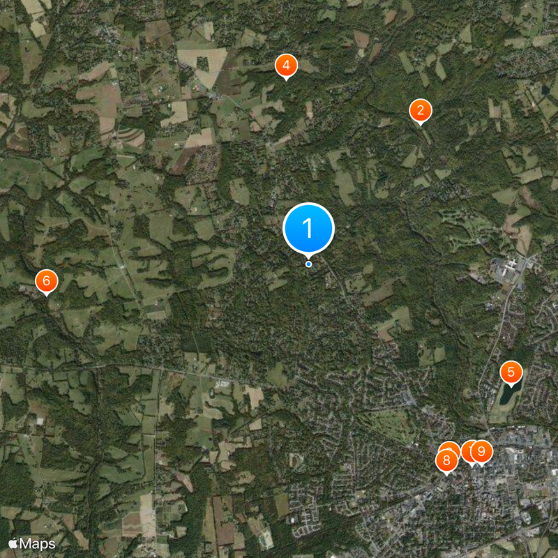
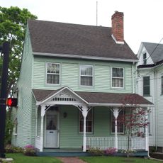
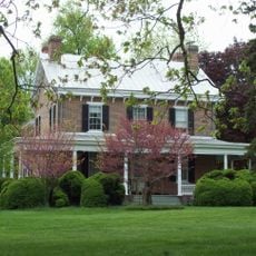
The Delaware Wedge is a triangular piece of land located where Delaware, Maryland, and Pennsylvania meet at their borders. This unusual geographic formation sits at a crossroads where three states come together at a single point.

Ownership of this land was disputed between Pennsylvania and Delaware until 1921, when Delaware gained full recognition of the territory. The dispute arose from early boundary surveys that created confusion along the state lines.

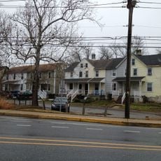
The crossroads community of Mechanicsville within the Wedge represents the local Delaware lifestyle through its residential patterns and social connections.

The area is reachable via Delaware Route 273 and Route 896, which offer direct connections to surrounding regions. Visitors can easily travel to where the three state lines meet at a single point.

The boundary lines resulted from 18th-century surveying challenges when establishing borders along the Mason-Dixon Line and the Twelve-Mile Circle. This triangular shape is a rare geographic result of technical difficulties that arose during early border definitions.

The community of curious travelers

AroundUs brings together thousands of curated places, local tips, and hidden gems, enriched daily by 60,000 contributors worldwide.
Start exploring
Location
GPS coordinates
39.71440,-75.78470
Latest update
August 30, 2026 16:26
Around this place
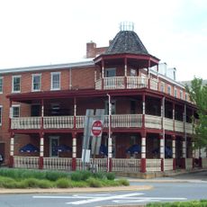
White Clay Creek State Park
United States of America

White Clay Creek State Park

2.5 mi
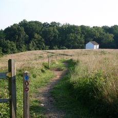
Deer Park Tavern
United States of America

Deer Park Tavern

2.6 mi
White Clay Creek Preserve
United States of America

White Clay Creek Preserve

2 mi
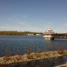
Newark Reservoir
United States of America

Newark Reservoir

2.5 mi
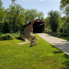
Foxcatcher Farm Covered Bridge
United States of America

Foxcatcher Farm Covered Bridge

2.8 mi
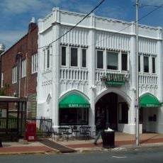
Rhodes Pharmacy
United States of America

Rhodes Pharmacy

2.8 mi
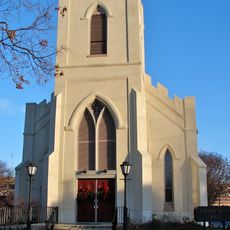
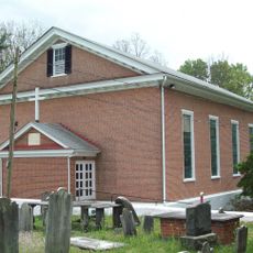
St. Thomas Episcopal Church
United States of America

St. Thomas Episcopal Church

2.7 mi
Wilmington Trust Company Bank
United States of America

Wilmington Trust Company Bank

2.8 mi
Head of Christiana United Presbyterian Church
United States of America

Head of Christiana United Presbyterian Church

1.6 mi
Old First Presbyterian Church
United States of America

Old First Presbyterian Church

2.7 mi
Carswell House
United States of America

Carswell House

2.1 mi
Curtis Mansion
United States of America

Curtis Mansion

2.8 mi
Green Mansion
United States of America

Green Mansion

2.8 mi
Baily House
United States of America

Baily House

2.5 mi
Thomas Phillips Mill Complex
United States of America

Thomas Phillips Mill Complex

1.6 mi
Bell Farmhouse
United States of America

Bell Farmhouse

2 mi
James Steel House
United States of America

James Steel House

1.6 mi
Blue Hen Farm
United States of America

Blue Hen Farm

1.6 mi
John Evans House
United States of America

John Evans House

2.7 mi
George Evans House
United States of America

George Evans House

2.7 mi
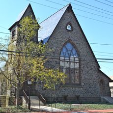
Wesley M.E. Church
United States of America

Wesley M.E. Church

0.4 mi
Thompson Farm
United States of America

Thompson Farm

1.2 mi
Curtis Paper Mill Workers' Houses
United States of America

Curtis Paper Mill Workers' Houses

2.5 mi
Belmont Hall
United States of America

Belmont Hall

2.4 mi
Chambers House
United States of America

Chambers House

1.2 mi
Building at 140 W. Main Street
United States of America

Building at 140 W. Main Street

2.5 mi
Building at 34 Choate Street
United States of America

Building at 34 Choate Street

2.7 mi
Granite Mansion
United States of America

Granite Mansion

2.3 mi
Show the full map
Reviews
Share your experience

No review yet

Discussions
Start a discussion...

No discussion yet

« Delaware Wedge - Administrative area in Delaware, United States » is provided by Around Us (aroundus.com). Images and texts are derived from Wikimedia project under a Creative Commons license. You are allowed to copy, distribute, and modify copies of this page, under the conditions set by the license, as long as this note is clearly visible.

Discover hidden gems everywhere you go!

From secret cafés to breathtaking viewpoints, skip the crowded tourist spots and find places that match your style. Our app makes it easy with voice search, smart filtering, route optimization, and insider tips from travelers worldwide. Download now for the complete mobile experience.
Around Us App Screenshot

A unique approach to discovering new places

Le Figaro

All the places worth exploring

France Info

A tailor-made excursion in just a few clicks

20 Minutes

Around Us
Travel Guide & Maps
Download

Send to your phone

QR Code
1

Open the camera app on your mobile.

2

Point at the QR code with your camera. A notification will appear.

3

Tap the notification to open the link.