
Chimney Rock Farm, historic building near Tazewell, Tazewell County, Virginia
Location: Tazewell County
GPS coordinates: 37.07750,-81.60917
Latest update: September 23, 2025 14:47
Hungry Mother State Park
22.8 km
Lincoln Theatre
28.3 km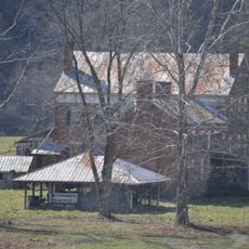
Preston House
30.3 km
U.S. Coal and Coke Company Store
31 km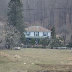
Mountain Glen
26.1 km
Beartown Wilderness
14.9 km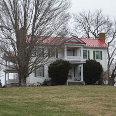
Maiden Spring
8.2 km
Pocahontas Fuel Company Store and Office Buildings
28.9 km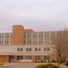
Smyth County Community Hospital
26.5 km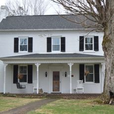
James Wynn House
9 km
Preston House
26.7 km
Saltville Battlefields Historic District
26.4 km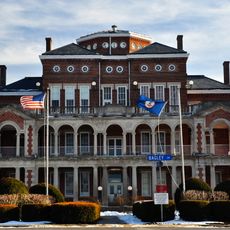
Henderson Building
28.5 km
Big Crab Orchard Site
5.6 km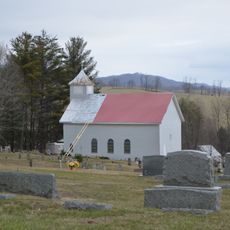
Sharon Lutheran Church and Cemetery
24 km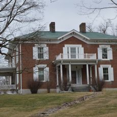
Alexander St. Clair House
31.3 km
Marion Historic District (Marion, Virginia)
28.4 km
George Oscar Thompson House
4.8 km
Tazewell Historic District
9 km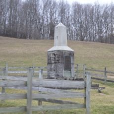
Capt. James Moore Homestead
28.6 km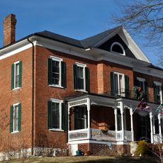
Marion Male Academy
28.4 km
Richlands Historic District
17.6 km
Williams House
16.9 km
Clinch Valley Roller Mills
14 km
Saltville Historic District
26.4 km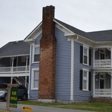
Old Kentucky Turnpike Historic District
13.8 km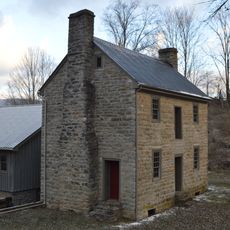
Scott-Walker House
23.8 km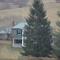
Clynchdale
11.9 kmVisited this place? Tap the stars to rate it and share your experience / photos with the community! Try now! You can cancel it anytime.
Discover hidden gems everywhere you go!
From secret cafés to breathtaking viewpoints, skip the crowded tourist spots and find places that match your style. Our app makes it easy with voice search, smart filtering, route optimization, and insider tips from travelers worldwide. Download now for the complete mobile experience.

A unique approach to discovering new places❞
— Le Figaro
All the places worth exploring❞
— France Info
A tailor-made excursion in just a few clicks❞
— 20 Minutes