
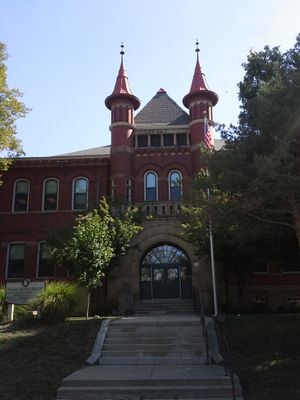
Westerville High School-Vine Street School
Westerville High School-Vine Street School
Location: Westerville
Address: 44 North Vine Street
GPS coordinates: 40.12690,-82.92860
Latest update: March 14, 2025 15:20

Xenos Christian Fellowship
3.6 km
Alum Creek State Park
8.1 km
Grand Lodge of Ohio
8.8 km
Old Beechwold Historic District
10.8 km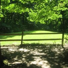
Highbanks Metropolitan Park Mounds I and II
8.8 km
Spruce Run Earthworks
7.9 km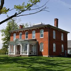
Gooding House and Tavern
10.2 km
Highbank Park Works
8.9 km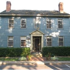
Demas Adams House
8.8 km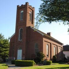
Central College Presbyterian Church
4.5 km
Temperance Row Historic District
773 m
Alkire House
730 m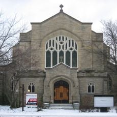
Saint Paul's Episcopal Church
9.3 km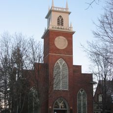
St. John's Episcopal Church
8.7 km
Gideon Hart House
3.3 km
Inniswood Botanical Garden and Nature Preserve
3.8 km
Gilbert House
8.5 km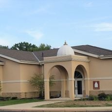
Jain Center of Central Ohio
8.3 km
Presbyterian Parsonage
4.5 km
Jonathan Noble House
5.8 km
George and Christina Ealy House
10.5 km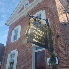
New England Lodge
8.8 km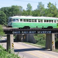
Ohio Railway Museum
7.4 km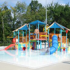
Plain Township Aquatic Center
10.4 km
Graceland Twin Cinema
10.6 km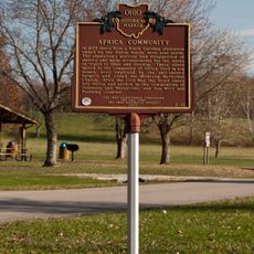
Africa Community
7 km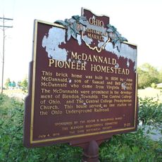
McDannald Pioneer Homestead
6.1 km
Worthington Historic District
8.7 kmVisited this place? Tap the stars to rate it and share your experience / photos with the community! Try now! You can cancel it anytime.
Discover hidden gems everywhere you go!
From secret cafés to breathtaking viewpoints, skip the crowded tourist spots and find places that match your style. Our app makes it easy with voice search, smart filtering, route optimization, and insider tips from travelers worldwide. Download now for the complete mobile experience.

A unique approach to discovering new places❞
— Le Figaro
All the places worth exploring❞
— France Info
A tailor-made excursion in just a few clicks❞
— 20 Minutes