Arkansas River Valley, Valley region between Ozark Mountains and Ouachita Mountains, Arkansas, US
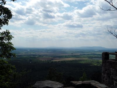
The Arkansas River Valley spans roughly 40 miles wide and is shaped by flat-topped ridges, carved plateaus, and folded rock formations that the Arkansas River cuts through. The landscape displays varied terrain between the surrounding mountain ranges.
Native peoples established settlements in Carden Bottom long before European explorers arrived in the region. In the early 1800s, explorers including Major Stephen Long and Thomas Nuttall documented the valley's natural features and helped shape early understanding of the area.
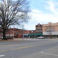
Several growing cities like Fort Smith, Van Buren, Alma, and Russellville shape how people live and work in this valley. These communities show how residents have built towns in the flat areas between the mountain ranges.
The eastern section receives heavier annual rainfall, while the western portion near Oklahoma experiences drier conditions. Plan outdoor activities based on weather patterns when visiting different parts of the valley.
Mount Magazine rises to about 2,753 feet and stands as the state's highest point, yet it sits hidden within the valley's rolling terrain. This surprising peak shares the landscape with other notable mountains like Petit Jean Mountain and Mount Nebo.
The community of curious travelers
AroundUs brings together thousands of curated places, local tips, and hidden gems, enriched daily by 60,000 contributors worldwide.