Chest opened
+${chestReward.xp} XP
Explorer
NOUVEAU ×${chestReward.collectible.quantity}
tapez pour fermer
Chest locked

Open chests in the app

Around Us is built for your phone — chests unlock when you walk, explore and capture nearby places.

Enable Location

We need your location to show you interesting places around you

Discover nearby places

Find interesting locations and hidden gems around you

Precise directions

Get accurate directions and distances to places

Your location is never shared with other users. It's only used when you tap the location button.

Log in to your account

Start exploring — it's free

Trusted by 72,879 travelers worldwide

Continue with Google
Continue with Apple
or

We will send you a code to connect

By continuing, you accept our Terms and Conditions and our Privacy Policy

Check your inbox

We've sent a pincode in your inbox. Please enter the code below.

Squire Boone's Station
Discussion Reviews Photo
2.3k Popularity

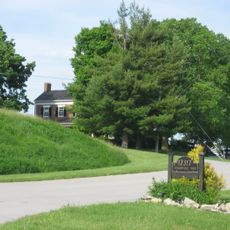
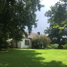
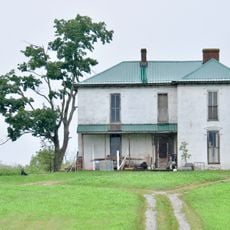
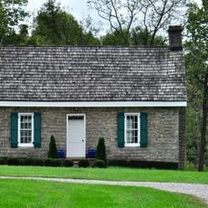
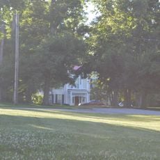
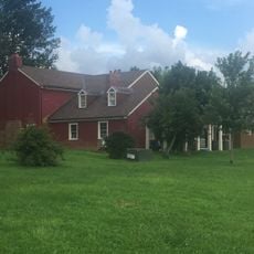
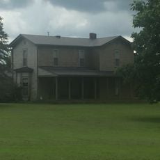
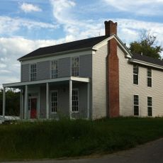
Squire Boone's Station, Pioneer settlement site in Shelbyville, Kentucky.

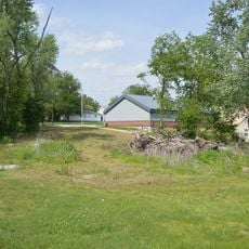
Squire Boone's Station was a fortified settlement built in 1780 with log cabins, a gristmill, and a sawmill positioned along Clear Fork of Brashear's Creek, about 2 miles north of Shelbyville. The site included defensive structures to protect settlers and had multiple buildings that served different functions for daily life and trade.

The station was established in 1780 by Squire Boone, brother of the famous Daniel Boone, making it one of the first major settlements in what is now Shelby County. This marked the beginning of permanent European settlement in the region during the frontier expansion era.

The name 'Painted Stone' came from a creek rock where Squire Boone carved his name and date during his 1776 exploration. This marked a place where early settlers wanted to claim their presence in the frontier lands.

The location sits about 2 miles north of Shelbyville along a creek that provided water for the settlement's operations. Today the site shows remnants and foundations that help visitors understand the original layout and arrangement of the buildings from the pioneer era.

During an attack by Native Americans in April 1781, Squire Boone was shot twice, resulting in permanent disability to one of his arms. This injury stands as a reminder of the dangerous conditions early settlers faced in establishing themselves in this region.

The community of curious travelers

AroundUs brings together thousands of curated places, local tips, and hidden gems, enriched daily by 60,000 contributors worldwide.

Start exploring
GPS coordinates
38.24778,-85.21361
Latest update
December 13, 2025 11:41
Around this place
Science Hill School
United States of America

Science Hill School

4 km
Whitney Young Birthplace and Museum
United States of America

Whitney Young Birthplace and Museum

14.1 km
Confederate Soldiers Martyrs Monument in Eminence
United States of America

Confederate Soldiers Martyrs Monument in Eminence

12.8 km
Bayne House
United States of America

Bayne House

4.2 km
Bethel AME Church
United States of America

Bethel AME Church

4.2 km
Henry County Courthouse
United States of America

Henry County Courthouse

21.1 km
Wickland
United States of America

Wickland

12.7 km
Church of the Annunciation
United States of America

Church of the Annunciation

4.1 km
St. John United Methodist Church
United States of America

St. John United Methodist Church

3.9 km
Simeon Moore House
United States of America

Simeon Moore House

21.7 km
Shelby County Public Library
United States of America

Shelby County Public Library

4 km
White House
United States of America

White House

9.7 km
Simpsonville Methodist Church
United States of America

Simpsonville Methodist Church

12.6 km
Simpsonville Christian Church
United States of America

Simpsonville Christian Church

13.1 km
Caldwell House
United States of America

Caldwell House

4.3 km
John C. Brown House
United States of America

John C. Brown House

7.1 km
Grove Hill Cemetery Chapel
United States of America

Grove Hill Cemetery Chapel

4.6 km
J. B. Allen House
United States of America

J. B. Allen House

8.3 km
Van Dyke House
United States of America

Van Dyke House

17.8 km
Crutcher House
United States of America

Crutcher House

13 km
Eminence Historic Commercial District
United States of America

Eminence Historic Commercial District

13.9 km
Robertson House
United States of America

Robertson House

14.1 km
Logan House
United States of America

Logan House

9.8 km
Swindler House
United States of America

Swindler House

8.9 km
Calloway House
United States of America

Calloway House

9.1 km
East Shelbyville District
United States of America

East Shelbyville District

4.2 km
Dr. Nash House
United States of America

Dr. Nash House

10.9 km
Bank of Simpsonville
United States of America

Bank of Simpsonville

12.6 km
Show the full map
Reviews
Share your experience

No review yet

Discussions
Start a discussion...

No discussion yet

« Squire Boone's Station - Pioneer settlement site in Shelbyville, Kentucky » is provided by Around Us (aroundus.com). Images and texts are derived from Wikimedia project under a Creative Commons license. You are allowed to copy, distribute, and modify copies of this page, under the conditions set by the license, as long as this note is clearly visible.

Discover hidden gems everywhere you go!

From secret cafés to breathtaking viewpoints, skip the crowded tourist spots and find places that match your style. Our app makes it easy with voice search, smart filtering, route optimization, and insider tips from travelers worldwide. Download now for the complete mobile experience.

Around Us App Screenshot

A unique approach to discovering new places

Le Figaro

All the places worth exploring

France Info

A tailor-made excursion in just a few clicks

20 Minutes

Around Us
Travel Guide & Maps
Download

Send to your phone

QR Code
1

Open the camera app on your mobile.

2

Point at the QR code with your camera. A notification will appear.

3

Tap the notification to open the link.