
Stump Pond, Stausee in den Vereinigten Staaten
Location: Sullivan County
Elevation above the sea: 531 m
GPS coordinates: 41.83667,-74.90056
Latest update: April 13, 2025 00:31

Bethel Woods Center for the Arts
15.7 km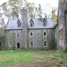
Dundas Castle
14.9 km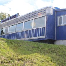
Munson Diner
13.6 km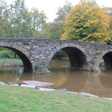
Stone Arch Bridge
10.8 km
St. Joseph's Seraphic Seminary
15 km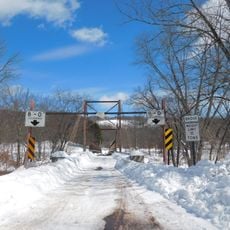
Little Equinunk Bridge
17.7 km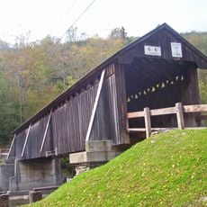
Beaverkill Bridge
17 km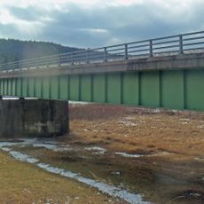
Callicoon Bridge
15.5 km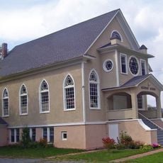
Agudas Achim Synagogue
9.5 km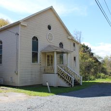
Tefereth Israel Anshei Parksville Synagogue
11.7 km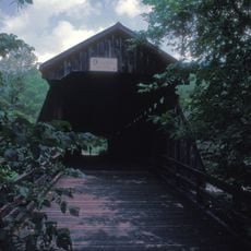
Van Tran Flat Bridge
10.4 km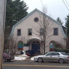
Jewish Center of Lake Huntington
7.1 km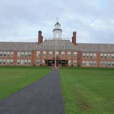
Jeffersonville School
7.1 km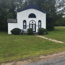
Bikur Cholim B'nai Israel Synagogue
15.9 km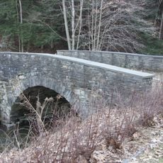
Hankins Stone Arch Bridge
16 km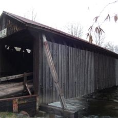
Bendo Bridge
18.4 km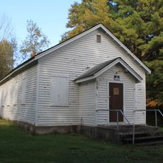
Ferndale School
14.8 km
Jewish Community Center of White Sulphur Springs
7.1 km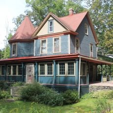
Parsonage Road Historic District
19.5 km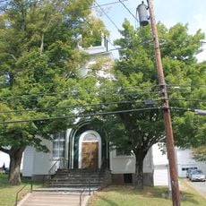
Callicoon Methodist Church and Parsonage
15 km
Rock Valley School
16.5 km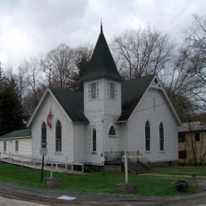
First Methodist Episcopal Church of Parksville
11.9 km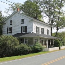
Valleau Tavern
19 km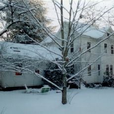
Anthony Manny House
15.7 km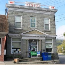
Callicoon National Bank
15.3 km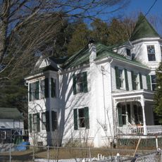
Ellery Calkins House
19.8 km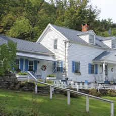
Drake-Curtis House
19 km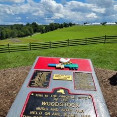
Historic Site of the 1969 Woodstock Festival
15.6 kmReviews
Visited this place? Tap the stars to rate it and share your experience / photos with the community! Try now! You can cancel it anytime.
Discover hidden gems everywhere you go!
From secret cafés to breathtaking viewpoints, skip the crowded tourist spots and find places that match your style. Our app makes it easy with voice search, smart filtering, route optimization, and insider tips from travelers worldwide. Download now for the complete mobile experience.

A unique approach to discovering new places❞
— Le Figaro
All the places worth exploring❞
— France Info
A tailor-made excursion in just a few clicks❞
— 20 Minutes