Enable Location

We need your location to show you interesting places around you

Discover nearby places

Find interesting locations and hidden gems around you

Precise directions

Get accurate directions and distances to places

Your location is never shared with other users. It's only used when you tap the location button.

Sullivan County

Log in to your account

Start exploring — it's free

Trusted by 61,654 travelers worldwide

Continue with Google
Continue with Apple
or

We will send you a code to connect

By continuing, you accept our Terms and Conditions and our Privacy Policy

Check your inbox

We've sent a pincode in your inbox. Please enter the code below.

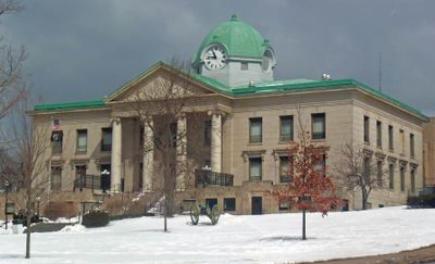
Sullivan County, Administrative county in Hudson Valley, United States

Description

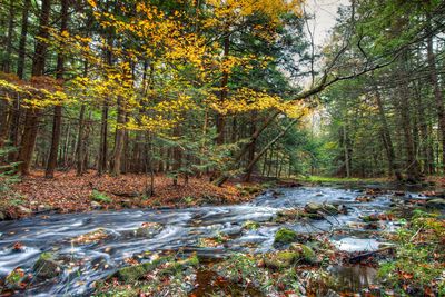
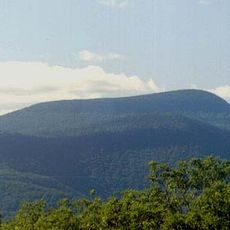
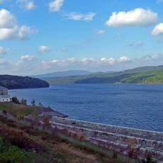
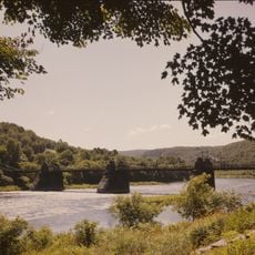
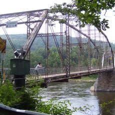
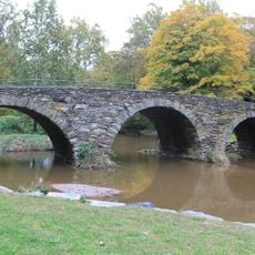
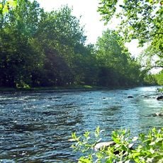
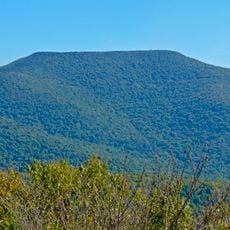
Sullivan County is an administrative unit in southeastern New York State, with Monticello serving as the seat of county government. The area extends across forested hills and valleys, crossed by rivers and smaller lakes, with scattered towns and farms.

History

The administrative unit was created in 1809 by the New York State Legislature and named after an officer from the Revolutionary War. In the 20th century the region developed into a center for summer vacation, which shaped the economy and settlement patterns.

Culture

The name honors John Sullivan, a general from the Revolutionary War, and many place names reflect early settlement by European immigrants. Today the area is often associated with summer resorts and the Jewish culture of the Catskills, visible in some restaurants and events.

Practical

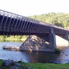
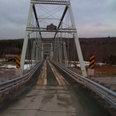
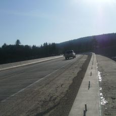
Route 17 runs through the area and connects the different towns, making travel by car straightforward. The landscape is hilly and forested, so plan some time for drives between places.

Did you know?

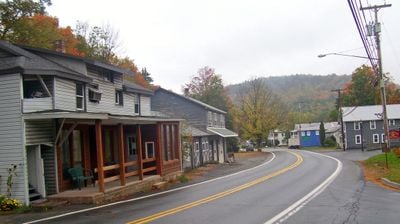
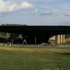
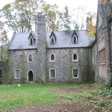
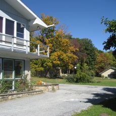
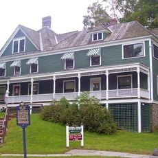
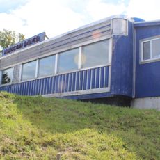
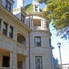
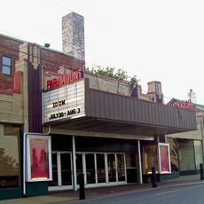
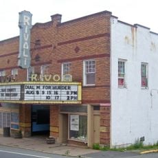
The area was once a well-known destination for summer resorts and hosted numerous hotels and vacation camps, many of which are now abandoned or repurposed. These empty buildings still shape parts of the landscape and tell of a past era of tourism.

Location
Inception
1809
Capital city
Monticello
Shares border with
Wayne County, Pike County, Orange County, Ulster County, Delaware County
GPS coordinates
41.72000,-74.76000
Latest update
December 13, 2025 18:04

AroundUs brings together thousands of curated places, local tips, and hidden gems, enriched daily by 60,000 contributors worldwide. Discover all places nearby (New York).

Around this place
United States of America

Dragon Springs

33.5 km
Bethel Woods Center for the Arts
United States of America

Bethel Woods Center for the Arts

10.1 km
Delaware and Hudson Canal
United States of America

Delaware and Hudson Canal

28.8 km
Slide Mountain
United States of America

Slide Mountain

43.9 km
Roebling's Delaware Aqueduct
United States of America

Roebling's Delaware Aqueduct

32.4 km
Dundas Castle
United States of America

Dundas Castle

28.9 km
Rondout Reservoir
United States of America

Rondout Reservoir

26.6 km
Blue Cliff Monastery
United States of America

Blue Cliff Monastery

31.5 km
Orange County Fair Speedway
United States of America

Orange County Fair Speedway

43.3 km
Neversink Reservoir
United States of America

Neversink Reservoir

15.5 km
Upper Delaware Scenic and Recreational River
United States of America

Upper Delaware Scenic and Recreational River

26.4 km
Zane Grey Museum
United States of America

Zane Grey Museum

32.3 km
Munson Diner
United States of America

Munson Diner

8.6 km
Pond Eddy Bridge
United States of America

Pond Eddy Bridge

31.7 km
Peekamoose Mountain
United States of America

Peekamoose Mountain

39.7 km
Webb Horton House
United States of America

Webb Horton House

41.9 km
United States of America

Catskill Fly Fishing Center and Museum

24.3 km
Stone Arch Bridge
United States of America

Stone Arch Bridge

16.4 km
Skinners Falls–Milanville Bridge
United States of America

Skinners Falls–Milanville Bridge

25.4 km
Neversink Preserve
United States of America

Neversink Preserve

34.1 km
Paramount Theatre
United States of America

Paramount Theatre

41.6 km
Rivoli Theatre
United States of America

Rivoli Theatre

10.4 km
Red Hill Fire Observation Station
United States of America

Red Hill Fire Observation Station

30.3 km
United States of America

Slide Mountain Wilderness Area

43.8 km
Table Mountain
United States of America

Table Mountain

39.7 km
St. Joseph's Seraphic Seminary
United States of America

St. Joseph's Seraphic Seminary

25.4 km
Barryville–Shohola Bridge
United States of America

Barryville–Shohola Bridge

30 km
Little Equinunk Bridge
United States of America

Little Equinunk Bridge

31.5 km
Show the full map
« Sullivan County - Administrative county in Hudson Valley, United States » is provided by Around Us (aroundus.com). Images and texts are derived from Wikimedia project under a Creative Commons license. You are allowed to copy, distribute, and modify copies of this page, under the conditions set by the license, as long as this note is clearly visible.

Discover hidden gems everywhere you go!

From secret cafés to breathtaking viewpoints, skip the crowded tourist spots and find places that match your style. Our app makes it easy with voice search, smart filtering, route optimization, and insider tips from travelers worldwide. Download now for the complete mobile experience.

Around Us App Screenshot

A unique approach to discovering new places

Le Figaro

All the places worth exploring

France Info

A tailor-made excursion in just a few clicks

20 Minutes

Around Us
Travel Guide & Maps
Download

Send to your phone

QR Code
1

Open the camera app on your mobile.

2

Point at the QR code with your camera. A notification will appear.

3

Tap the notification to open the link.