Upper Delaware Scenic and Recreational River, National Wild and Scenic River in New York and Pennsylvania, United States.
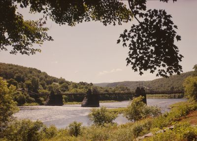
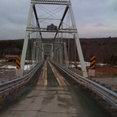
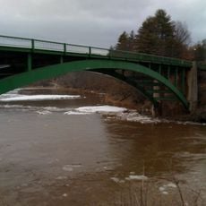
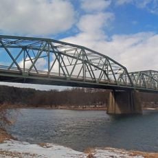
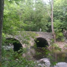
The Upper Delaware Scenic and Recreational River is a waterway that flows for 73 miles (117 kilometers) through valleys and forested hills, forming a natural boundary between New York and Pennsylvania. Steep banks and thick forests line the water, alternating with open sections and rocky outcrops.
Native Lenape and other tribes inhabited the region for centuries, using the river for fishing, transport, and trade routes. European settlement arrived later, yet the river remained largely free from the dams built on other major eastern waterways.
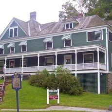
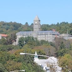
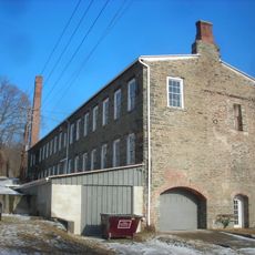
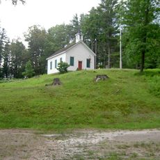
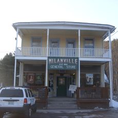
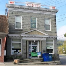
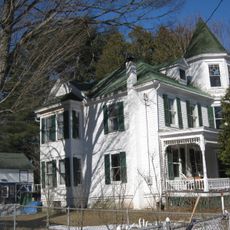
The river shaped the identity of riverside villages and towns that still define themselves through their connection to the water. Local museums and heritage centers tell stories of how communities built their lives around this waterway.
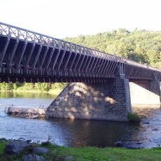
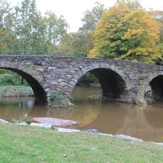
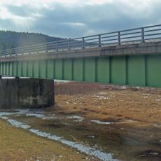
Multiple access points along the river feature boat launches, hiking trails, and scenic overlooks maintained by the National Park Service. Visitors can paddle, fish, or hike year-round, though spring through fall offers the most pleasant conditions for water activities.
This is one of the last major undammed river systems in the eastern United States, which means it hosts rare fish species and intact ecosystems found nowhere else in the region. That freedom from artificial barriers makes it a refuge for wildlife and a draw for those seeking wild water.
The community of curious travelers
AroundUs brings together thousands of curated places, local tips, and hidden gems, enriched daily by 60,000 contributors worldwide.