Cannonsville Dam, Höhle in den Vereinigten Staaten
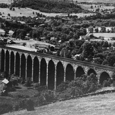
Starrucca Viaduct
20.7 km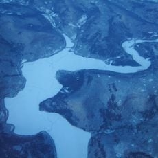
Cannonsville Reservoir
4.1 km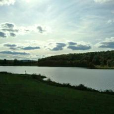
Oquaga Creek State Park
12.9 km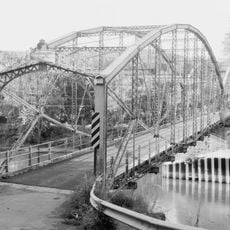
Ouaquaga Lenticular Truss Bridge
23.4 km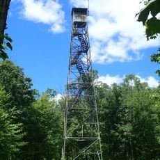
Rock Rift Fire Observation Tower
13 km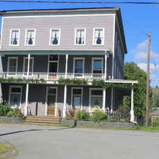
Hotel Delaware
21.8 km
Point Mountain Mausoleum
15.2 km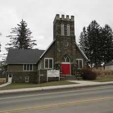
Harpursville United Methodist Church
24 km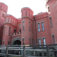
Walton Grange No. 1454
23 km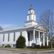
First Congregational Church of Walton
23.5 km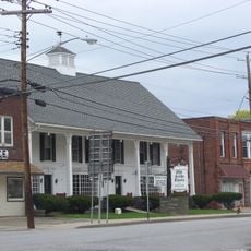
Bainbridge Historic District
26.8 km
Equinunk Historic District
26.6 km
Sidney Historic District
27.8 km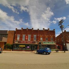
Main Street Historic District
21.9 km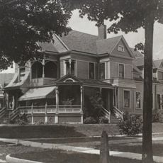
Charles C. Hovey House and Strong Leather Company Mill
27 km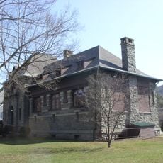
Gardiner Place Historic District
23.4 km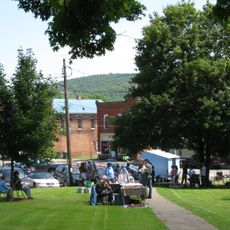
Windsor Village Historic District
22.2 km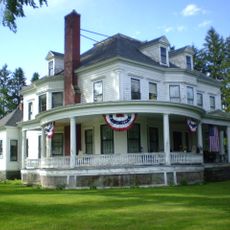
Holden B. Mathewson House
21.9 km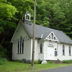
Lordville Presbyterian Church
25.6 km
White Rock
24.1 km
Home of Squire Zachariah Tarble
21 km
Joshia Stowell Home & Farm
23.5 km
Colesville Branch
23.3 km
Banks Susquehanna River
25.6 km
Maple Tree Grove
25 km
The Camptons
14.9 km
Trout Brook Studios
14.9 km
16-17 mile marker from possible priesthood site
23.1 kmVisited this place? Tap the stars to rate it and share your experience / photos with the community! Try now! You can cancel it anytime.
Discover hidden gems everywhere you go!
From secret cafés to breathtaking viewpoints, skip the crowded tourist spots and find places that match your style. Our app makes it easy with voice search, smart filtering, route optimization, and insider tips from travelers worldwide. Download now for the complete mobile experience.

A unique approach to discovering new places❞
— Le Figaro
All the places worth exploring❞
— France Info
A tailor-made excursion in just a few clicks❞
— 20 Minutes