
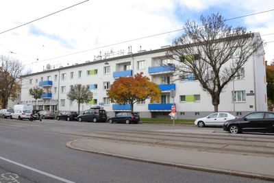
Wohnhausanlage Rußbergstraße 11, public housing in Floridsdorf
Location: Vienna
Location: Floridsdorf
Inception: 1967
Architects: Ernst Lederer-Ponzer
Address: Rußbergstraße 11, 1210 Wien
GPS coordinates: 48.28917,16.38383
Latest update: March 14, 2025 12:22
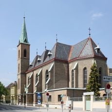
Klosterkirche Maria Immaculata
935 m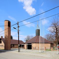
Filialkirche hl. Josef der Arbeiter, Langenzersdorf
1.1 km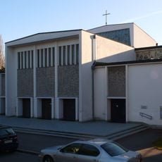
Pfarrkirche Maria Königin (Strebersdorf)
383 m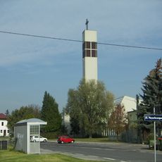
St.-Antonius-von-Padua-Kirche
1.8 km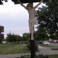
Rotes Kreuz Berlagasse
486 m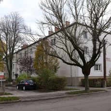
Wohnhausanlage Roggegasse 44–46
724 m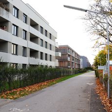
Wohnhausanlage Mühlweg 43
402 m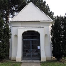
Scheydkapelle
1.1 km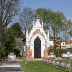
Friedhofskapelle der Schulbrüder
1.4 km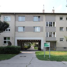
Wohnhausanlage Berlagasse 1
342 m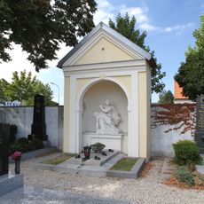
Priestergrabkapelle
2 km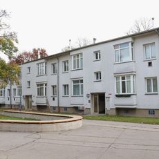
Wohnhausanlage Roda-Roda-Gasse 6
130 m
Wohnhausanlage Jedlersdorfer Straße 180
2 km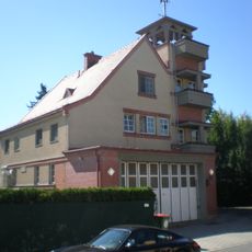
Feuerwache Strebersdorf
799 m
Wohnhausanlage Roda-Roda-Gasse 4
167 m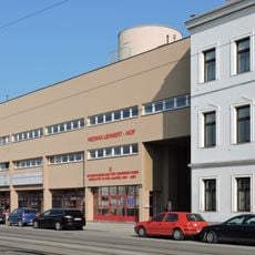
Hedwig-Lehnert-Hof
2 km
Wohnhausanlage Ödenburger Straße 73–85
1.4 km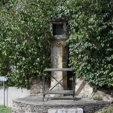
Langenzersdorf-Bildstock Kellergasse
2 km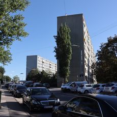
Wohnhausanlage Autokaderstraße 3–7
1.3 km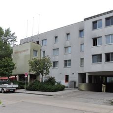
Wohnhausanlage Ferdinand-Käs-Gasse 3
1.5 km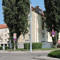
Wohnhausanlage Gmündstraße 1
309 m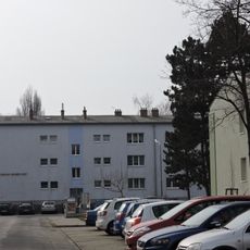
Oskar Helmer Hof
322 m
Wohnhausanlage Rußbergstraße 24
201 m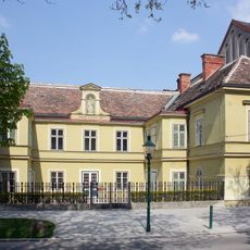
Schloss, Marienheim
939 m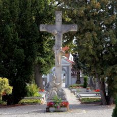
Steinkreuz
1.9 km
Wohnhausanlage der Gemeinde Wien
331 m
Dr. Franz-Koch-Hof
2 km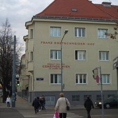
Franz-Bretschneider-Hof
1.9 kmReviews
Visited this place? Tap the stars to rate it and share your experience / photos with the community! Try now! You can cancel it anytime.
Discover hidden gems everywhere you go!
From secret cafés to breathtaking viewpoints, skip the crowded tourist spots and find places that match your style. Our app makes it easy with voice search, smart filtering, route optimization, and insider tips from travelers worldwide. Download now for the complete mobile experience.

A unique approach to discovering new places❞
— Le Figaro
All the places worth exploring❞
— France Info
A tailor-made excursion in just a few clicks❞
— 20 Minutes