
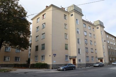
Wohnhausanlage Ostmarkgasse 48, public housing in Floridsdorf
Location: Vienna
Location: Floridsdorf
Inception: 1952
Architects: Johann Hack, Rudolf Karl Peschel
Address: Ostmarkgasse 48, 1210 Wien
GPS coordinates: 48.25538,16.41346
Latest update: March 3, 2025 09:07
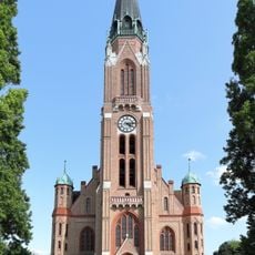
Church of Donaufeld
460 m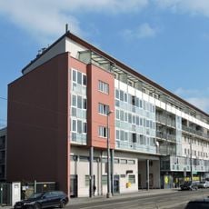
Frauen-Werk-Stadt
554 m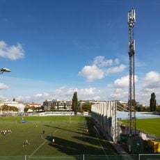
Sportplatz Donaufeld
524 m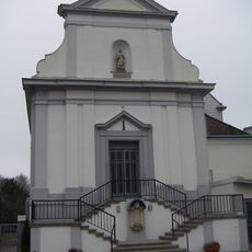
Herz-Jesu-Kirche
800 m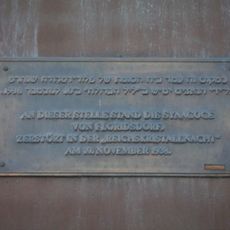
Synagoge Floridsdorf
767 m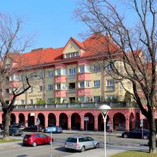
Bieler Hof, Floridsdorf
416 m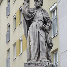
Statue of Saint Patricius, Leopoldauer Straße
683 m
Margarete-Schütte-Lihotzky-Hof
570 m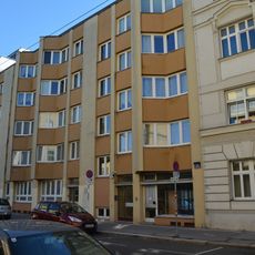
Wohnhausanlage Theodor-Körner-Gasse 28
306 m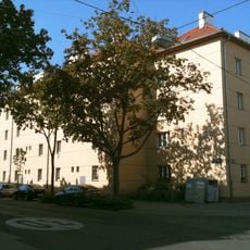
Familienasyl hl.Anna
645 m
Wohnhausanlage Donaufelder Straße 22
264 m
Wohnhausanlage Mengergasse 66–70
86 m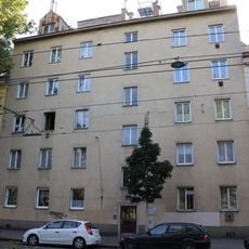
Wohnhausanlage Schloßhofer Straße 42
703 m
Frederico-Garcia-Lorca-Hof
641 m
Wohnhausanlage Schenkendorfgasse 49–53
179 m
Wohnhaus Donaufelderstr 44
250 m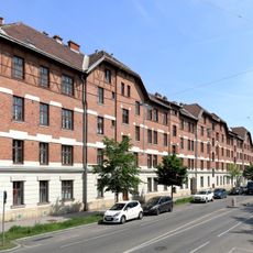
Wohnhaus der Unfallversicherungsanstalt für Niederösterreich
554 m
Wohnhausanlage Kirchhoffgasse 13
807 m
Rudolf-Hitzinger-Hof
678 m
Donaufelder Pfarrhof
518 m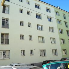
Wohnhausanlage Nordmanngasse 14–16
389 m
Wohnhaus Fultonstr 5
585 m
Wohnhausanlage Bessemerstraße 10–16
74 m
Wohnhausanlage Scheffelstraße 24
426 m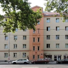
Wohnhausanlage Donaufelder Straße 20
278 m
Wohnhausanlage Kahlgasse 9–11
473 m
Sonderschule
737 m
Miethaus, Kluger-Hof
506 mReviews
Visited this place? Tap the stars to rate it and share your experience / photos with the community! Try now! You can cancel it anytime.
Discover hidden gems everywhere you go!
From secret cafés to breathtaking viewpoints, skip the crowded tourist spots and find places that match your style. Our app makes it easy with voice search, smart filtering, route optimization, and insider tips from travelers worldwide. Download now for the complete mobile experience.

A unique approach to discovering new places❞
— Le Figaro
All the places worth exploring❞
— France Info
A tailor-made excursion in just a few clicks❞
— 20 Minutes