
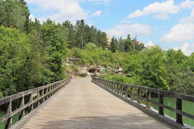
Schwarze Brücke, hölzerne Straßenbrücke in Steyr
Location: Steyr
Made from material: wood
GPS coordinates: 48.04240,14.39528
Latest update: September 23, 2025 16:47
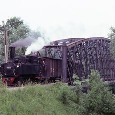
Steyr Valley Railway
722 m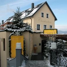
Postamt Christkindl
735 m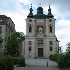
Wallfahrtskirche Christkindl
737 m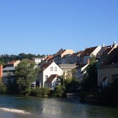
Wehrgraben (Steyr)
773 m
Steyr Annaberg 6
258 m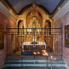
Steyr Christkindlweg Loretokapelle
737 m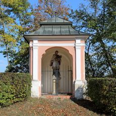
Nepomuk-Kapelle
711 m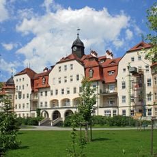
Steyr Landeskrankenhaus
237 m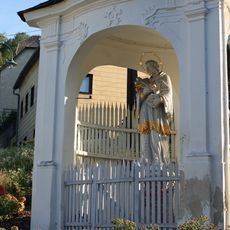
Steyr Hammerschmiedberg Hl.Johannes Nepomuk Kapelle
615 m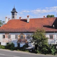
Ehem. Herren- oder Sondersiechenhaus samt Dreifaltigkeitskapelle
497 m
Steyr Christkindlweg-Brücke
682 m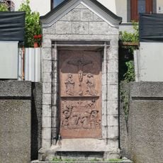
Kunz-Horn-Epitaph
747 m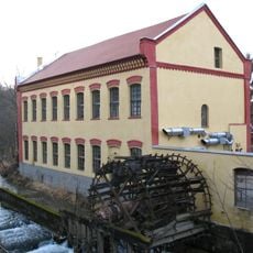
Steyr Unterhimmler Straße 1, 2
342 m
Pfarrhof Christkindl
758 m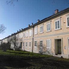
Arbeitersiedlung Neustraße, Steyr
190 m
Sankt-Anna-Schule
348 m
Steyr, Fabrikstraße 37, 39
588 m
Volksschule, sog. Wehrgrabenschule
762 m
Schwesternschule, ehem. Armenpflegehaus
119 m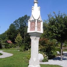
Lichtsäule
432 m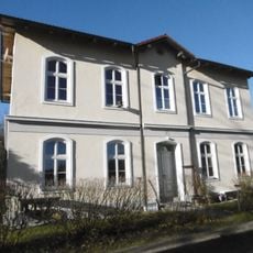
Bürgerhaus, sog. Fischer-Villa
485 m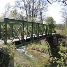
Eisenbahnstrecke
372 m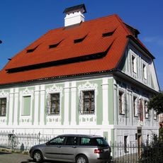
Bürgerhaus, Voglhaus
555 m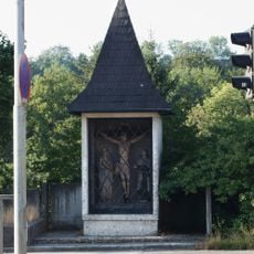
Annaberg-Kapelle
167 m
Workers' estate Fabrikstraße 58 to 76
742 m
Arbeiterwohnheim Wehrgrabengasse
482 m
Ehem. Gemischtwarenhandlung
667 m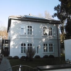
Sommerhaus von Josef Werndl, sog. Wasservilla
683 mReviews
Visited this place? Tap the stars to rate it and share your experience / photos with the community! Try now! You can cancel it anytime.
Discover hidden gems everywhere you go!
From secret cafés to breathtaking viewpoints, skip the crowded tourist spots and find places that match your style. Our app makes it easy with voice search, smart filtering, route optimization, and insider tips from travelers worldwide. Download now for the complete mobile experience.

A unique approach to discovering new places❞
— Le Figaro
All the places worth exploring❞
— France Info
A tailor-made excursion in just a few clicks❞
— 20 Minutes