·

Enable Location

We need your location to show you interesting places around you

Discover nearby places

Find interesting locations and hidden gems around you

Precise directions

Get accurate directions and distances to places

Your location is never shared with other users. It's only used when you tap the location button.

Steyr

Log in to your account

Start exploring — it's free

Trusted by 62,658 travelers worldwide

Continue with Google
Continue with Apple
or

We will send you a code to connect

By continuing, you accept our Terms and Conditions and our Privacy Policy

Check your inbox

We've sent a pincode in your inbox. Please enter the code below.

Steyr, Statutory city in Upper Austria, Austria

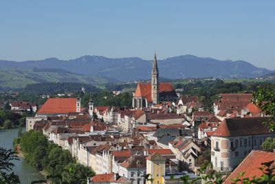
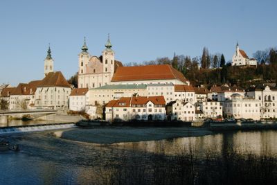
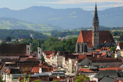
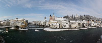
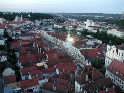
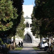
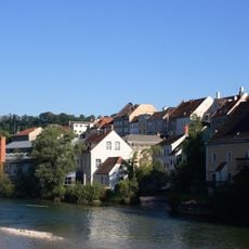
Steyr is a town in Upper Austria where the Steyr and Enns rivers meet. The old town spreads across a triangular peninsula between the two waterways and is surrounded by hills offering wooded trails and views over the rooftops.

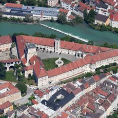
The settlement began around 980 under the counts of Steyr, who exploited local iron ore deposits and controlled trade routes. In the 17th century the town became a center for arms production and later for vehicle manufacturing.

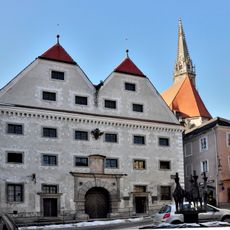
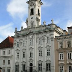
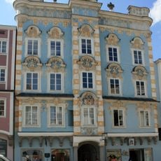
The name comes from the river that flows through town and has shaped local life for centuries. Gothic townhouses around the main square still show the craftsmanship of medieval builders and now serve as homes, shops and restaurants.

The town center is compact and most sights lie close together, making it easy to explore on foot. The riverside promenades along both waterways are good for quiet walks and offer benches for resting.

A narrow alley called Enge runs through house gaps just 1.5 meters (5 feet) wide and once served as an escape route for residents during floods. The old railway line into the Steyr valley still runs with steam locomotives and connects several villages over 17 kilometers (11 miles) of track.

The community of curious travelers

AroundUs brings together thousands of curated places, local tips, and hidden gems, enriched daily by 60,000 contributors worldwide.

Start exploring
Location
Elevation above the sea
310 m
Reference
SR
Part of
Upper Austria
Shares border with
Wolfern, Dietach, Haidershofen, Behamberg, Sankt Ulrich bei Steyr, Garsten, Sierning, Steyr-Land District, Amstetten District
GPS coordinates
48.05000,14.41667
Latest update
December 12, 2025 23:27
« Steyr - Statutory city in Upper Austria, Austria » is provided by Around Us (aroundus.com). Images and texts are derived from Wikimedia project under a Creative Commons license. You are allowed to copy, distribute, and modify copies of this page, under the conditions set by the license, as long as this note is clearly visible.

Discover hidden gems everywhere you go!

From secret cafés to breathtaking viewpoints, skip the crowded tourist spots and find places that match your style. Our app makes it easy with voice search, smart filtering, route optimization, and insider tips from travelers worldwide. Download now for the complete mobile experience.

Around Us App Screenshot

A unique approach to discovering new places

Le Figaro

All the places worth exploring

France Info

A tailor-made excursion in just a few clicks

20 Minutes

Around Us
Travel Guide & Maps
Download

Send to your phone

QR Code
1

Open the camera app on your mobile.

2

Point at the QR code with your camera. A notification will appear.

3

Tap the notification to open the link.