
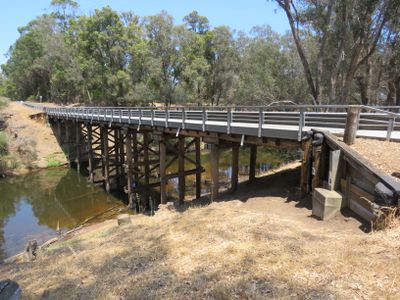
Longbottom Road Bridge, bridge in Western Australia
Location: Shire of Nannup
GPS coordinates: -34.08170,115.60617
Latest update: September 23, 2025 16:46
Greater Beedelup National Park
40.2 km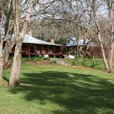
Southampton Homestead
40.1 km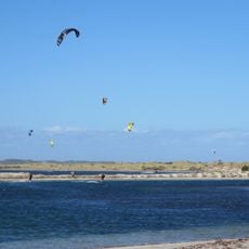
Hardy Inlet
46.7 km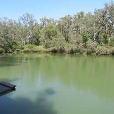
Barrabup pool
17.2 km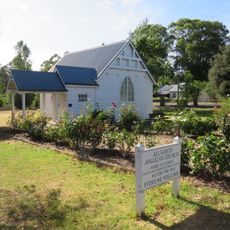
All Saints Anglican Church, Nannup
18.6 km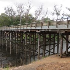
Wright's Bridge, Western Australia
39.1 km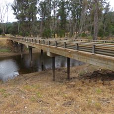
Reveley Bridge
25.9 km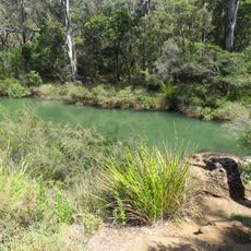
Workmans pool
16 km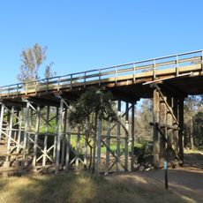
Nannup Road Bridge
19 km
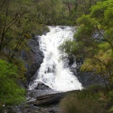
Beedelup Falls
44.7 km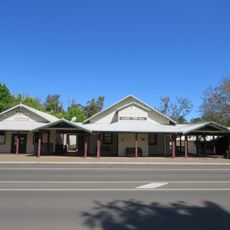
Nannup Town Hall
18.7 km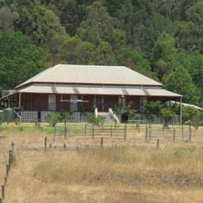
Brooklands
46.1 km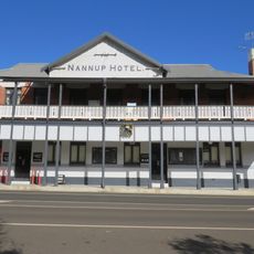
Nannup Hotel
18.7 km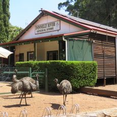
Donnelly River Mill & Townsite Precinct
34.2 km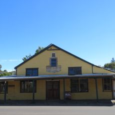
Darnell's General Store
47.1 km
Witchcliffe CWA hall
47.1 km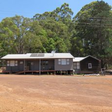
Mill Office, Donnelly River
34.3 km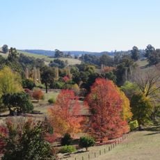
Golden Valley Tree Park
47.5 km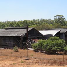
Donnelly River Mill
34.3 km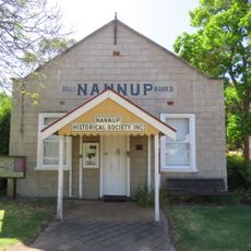
Nannup Road Board Office
18.8 km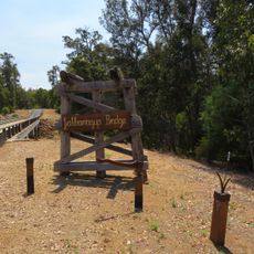
Jalbarragup Bridge
4.5 km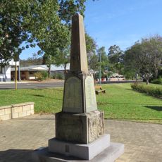
Nannup War Memorial
18.7 km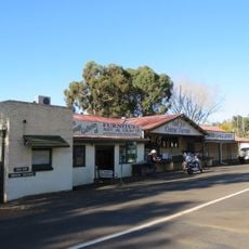
Cheese Factory, Balingup
47.2 km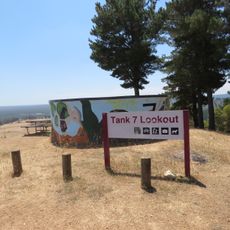
Tank 7 lookout
18.6 km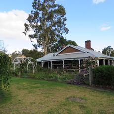
Maranup Ford homestead
42 km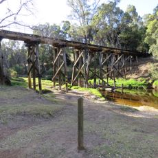
Nannup Railway Bridge
18.6 km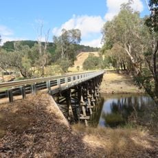
Maidment Bridge
34.3 km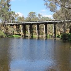
Maranup Ford Bridge
42.1 kmReviews
Visited this place? Tap the stars to rate it and share your experience / photos with the community! Try now! You can cancel it anytime.
Discover hidden gems everywhere you go!
From secret cafés to breathtaking viewpoints, skip the crowded tourist spots and find places that match your style. Our app makes it easy with voice search, smart filtering, route optimization, and insider tips from travelers worldwide. Download now for the complete mobile experience.

A unique approach to discovering new places❞
— Le Figaro
All the places worth exploring❞
— France Info
A tailor-made excursion in just a few clicks❞
— 20 Minutes