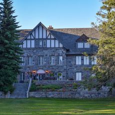
Moosomin and District Regional Park, regional park in Saskatchewan, Canada
Location: Maryfield No. 91
GPS coordinates: 50.05162,-101.69044
Latest update: November 24, 2023 23:42
Kenosee Lake
49.1 km
Cannington Manor Provincial Park
43.7 km
Fairlight
19.7 km
Wauchope, Saskatchewan
52.5 km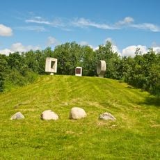
Fort Espérance
49.7 km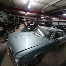
Manitoba Antique Automobile Museum
34.3 km
Rex Theatre
51.5 km
R. D. McNaughton Building
10.6 km
Masonic Hall
51.6 km
Hamona
53 km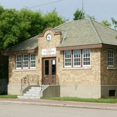
R.M. of Willowdale No. 153 Municipal Office
51.4 km
Welwyn Centennial Regional Park
34.4 km
Upper Assiniboine Wildlife Management Area
43.5 km
Ebor Wildlife Management Area
45.2 km
Scenic viewpoint
49.6 km
Kenosee Lake Main Beach
49.9 km
White Bear Ski/Hike Trails
51.2 km
Golf Kenosee
49.4 km
Long Beach
51.4 km
Kenosee superslides park
48.5 km
White Bear Ski/Hike Trails
51.6 km
Wawota Town Campground
29.3 km
Bird Watch
51.6 km
White Bear Lake Golf Course
52.2 km
Welcome to Manitoba
18.2 km
Sandy Beach
52.6 km
Beaudin Beach
3 km
Hotel Beach
53.2 kmReviews
Visited this place? Tap the stars to rate it and share your experience / photos with the community! Try now! You can cancel it anytime.
Discover hidden gems everywhere you go!
From secret cafés to breathtaking viewpoints, skip the crowded tourist spots and find places that match your style. Our app makes it easy with voice search, smart filtering, route optimization, and insider tips from travelers worldwide. Download now for the complete mobile experience.

A unique approach to discovering new places❞
— Le Figaro
All the places worth exploring❞
— France Info
A tailor-made excursion in just a few clicks❞
— 20 Minutes