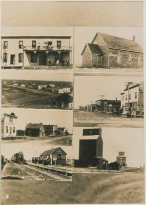
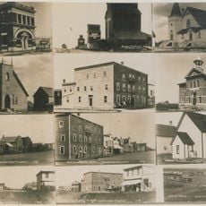
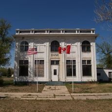
Wauchope, Saskatchewan, Hamlet in southeastern Saskatchewan, Canada
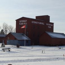
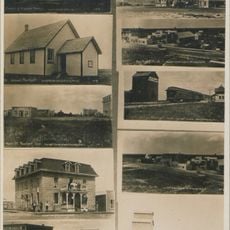
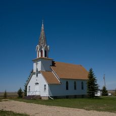
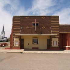
Wauchope sits along Saskatchewan Highway 13 between Manor and Redvers, marked by a Catholic church, rectory, and a large cemetery spread across the landscape. The settlement includes a baseball diamond and grain elevator that serve the agricultural activities of the small population living here.
The settlement began in 1901 when the railroad arrived, named after General W. Wauchope during construction of the Arcola railway line. The railroad was the foundation for growth, bringing goods and connecting the place to larger towns.
The community developed as a French-speaking settlement, with residents from France and Belgium joining early, followed by people from Britain, Ontario, and the United States.
The hamlet sits right on Highway 13, making it easy to access from the main road. Visitors should know this is a small, quiet community where most services and amenities are found in larger nearby towns.
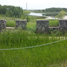
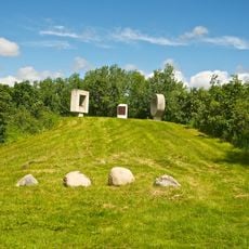
A stone cairn stands north of the parish church, recognized as a provincial historic site. This marker honors the memory of this former railroad settlement and its place in the region's development.
Location: Antler No. 61
GPS coordinates: 49.60000,-101.90100
Latest update: December 14, 2025 12:26
91st Missile Wing LGM-30 Minuteman Missile Launch Sites
94 km
Montmartre
128.2 km
Kenosee Lake
37.9 kmAlida
24.2 km
Nygard Park
111 km
Manor
13.2 km
Cannington Manor Provincial Park
18.1 km
Esterhazy Flour Mill
117.9 km
Bellegarde
26.6 km
Fairlight
34.5 kmSpy Hill
114.4 km
Fort Espérance
102 km
Des Lacs National Wildlife Refuge
85.5 km
Ambrose–Torquay Border Crossing
133.1 kmLostwood Wilderness
113.1 km
Manitoba Antique Automobile Museum
63.8 km
State Bank of Antler
83.2 km
Portal State Bank
82 km
Broadview Historical Museum
99.8 km
Renville County Courthouse
97.4 km
Niels Nielsen Fourteen-Side Barn Farm
115 km
Divide County Courthouse
126.7 km
First English Free Lutheran Church (Lostwood)
130.8 km
R.M. of Willowdale No. 153 Municipal Office
85.3 km
Columbus Theatre
100.4 km
Souris Swinging Bridge
118.7 km
Virden Municipal Building and Auditorium
75.1 km
Boundary Commission Trail - Turtlehead Creek Crossing
120.4 kmVisited this place? Tap the stars to rate it and share your experience / photos with the community! Try now! You can cancel it anytime.
Discover hidden gems everywhere you go!
From secret cafés to breathtaking viewpoints, skip the crowded tourist spots and find places that match your style. Our app makes it easy with voice search, smart filtering, route optimization, and insider tips from travelers worldwide. Download now for the complete mobile experience.
A unique approach to discovering new places❞
— Le Figaro
All the places worth exploring❞
— France Info
A tailor-made excursion in just a few clicks❞
— 20 Minutes