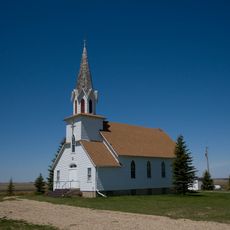
Alida, Rural village in southeast Saskatchewan, Canada
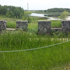
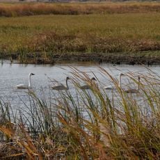
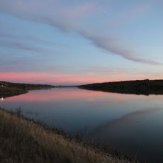
Alida is a small village in southeast Saskatchewan located where Highways 318, 361, and 601 meet. The settlement sits on prairie land and is home to a tight-knit community of around 100 residents.
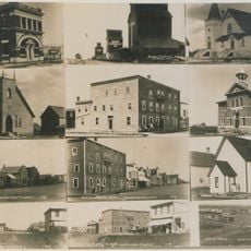
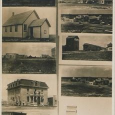
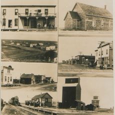
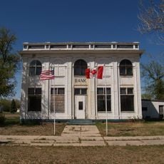
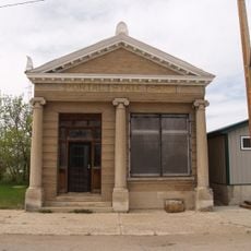
The village began in 1913 as a Canadian Pacific Railway station, taking its name from Dame Alida Brittain. It gained official village status about 13 years later.
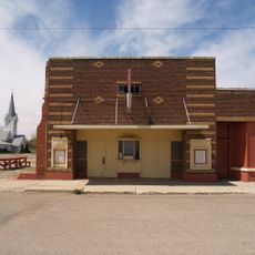
The Memorial Hall serves as the main gathering place where residents come together for regular bingo games and special events. These activities form the backbone of social life in the village.
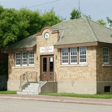
The village office handles administrative matters for residents and can be reached by phone for inquiries. The location along multiple highways makes it easy to find on the prairie.
When flooding destroyed the original ice rink beyond repair, the community rallied together to build a replacement. The new skating and curling facility was completed in 2017 and stands as a testament to local determination.
Location: Saskatchewan
Inception: 1913
GPS coordinates: 49.38330,-101.86700
Latest update: December 12, 2025 12:01
91st Missile Wing LGM-30 Minuteman Missile Launch Sites
69.8 km
740th Missile Squadron
114 km
741st Missile Squadron
114 km
Kenosee Lake
58.5 km
Nygard Park
101.5 km
Manor
29.2 km
Cannington Manor Provincial Park
41.1 km
Bellegarde
28.3 km
Fairlight
56.4 km
Wauchope, Saskatchewan
24.2 km
J. Clark Salyer National Wildlife Refuge
120.6 km
Des Lacs National Wildlife Refuge
62.4 km
742d Missile Squadron
114 kmLostwood Wilderness
92.1 km
Manitoba Antique Automobile Museum
80.2 km
State Bank of Antler
62.6 km
Portal State Bank
65.7 km
Renville County Courthouse
73.8 km
Old Main
120.6 km
Niels Nielsen Fourteen-Side Barn Farm
100.5 km
Divide County Courthouse
116.2 km
First English Free Lutheran Church (Lostwood)
108.9 km
R.M. of Willowdale No. 153 Municipal Office
109.2 km
Lake Metigoshe State Park
120.6 km
Columbus Theatre
85.2 km
Souris Swinging Bridge
119.4 km
Virden Municipal Building and Auditorium
85.1 km
Boundary Commission Trail - Turtlehead Creek Crossing
110 kmVisited this place? Tap the stars to rate it and share your experience / photos with the community! Try now! You can cancel it anytime.
Discover hidden gems everywhere you go!
From secret cafés to breathtaking viewpoints, skip the crowded tourist spots and find places that match your style. Our app makes it easy with voice search, smart filtering, route optimization, and insider tips from travelers worldwide. Download now for the complete mobile experience.
A unique approach to discovering new places❞
— Le Figaro
All the places worth exploring❞
— France Info
A tailor-made excursion in just a few clicks❞
— 20 Minutes