Gitlaxksiip, former First Nation village in British Columbia, Canada
Location: British Columbia
GPS coordinates: 55.30556,-129.06667
Latest update: November 22, 2025 11:22
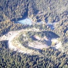
Tseax Cone
24.2 km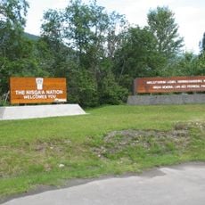
Anhluut'ukwsim Laxmihl Angwinga'asanskwhl Nisga'a
24.6 km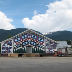
Gitlaxt'aamiks
6.3 km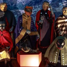
Nisga'a Museum
44.7 km
Gingietl Creek Ecological Reserve
17.8 km
Larcom Lagoon Conservancy
44 km
Nisga'a Memorial Lava Bed Corridor Protected Area
13 km
Nisga'a Memorial Lava Bed Corridor Protected Area (No. 2)
14.2 km
Nisga'a Memorial Lava Bed Protected Area
24.5 km
Ksi Xts'At'Kw/Stagoo Conservancy
39.1 km
Wii Lax K'ap
11 km
Orque
11.1 km
Vetter Falls
14.2 km
Unity Totem Pole
11.2 km
Aigle
11.1 km
Work of art, sculpture
11.9 km
Drowned Forest
20.4 km
Dedication site
15.9 km
Beaupré Falls
15.6 km
Waterfall
43.8 km
Corbeau
11.1 km
Waterfall
19.6 km
Waterfall
42.6 km
Waterfall
43.2 km
Waterfall
44.3 km
Waterfall
41.7 km
Waterfall
35.3 km
Waterfall
27.7 kmReviews
Visited this place? Tap the stars to rate it and share your experience / photos with the community! Try now! You can cancel it anytime.
Discover hidden gems everywhere you go!
From secret cafés to breathtaking viewpoints, skip the crowded tourist spots and find places that match your style. Our app makes it easy with voice search, smart filtering, route optimization, and insider tips from travelers worldwide. Download now for the complete mobile experience.

A unique approach to discovering new places❞
— Le Figaro
All the places worth exploring❞
— France Info
A tailor-made excursion in just a few clicks❞
— 20 Minutes