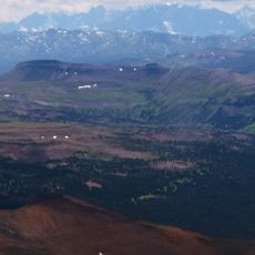
Burnt Bridge Creek Conservancy, protected area in British Columbia, Canada
Location: Central Coast Regional District
GPS coordinates: 52.45889,-126.20889
Latest update: November 24, 2023 23:42
Tweedsmuir Provincial Park
28.3 km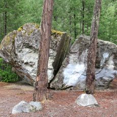
Big Rock
16.4 km
East Saugstad Glacier
27.8 km
Mad Dog Glacier
16.8 km
Itasca Glacier
26.1 km
Nooklikonnik Glacier
28.6 km
Saugstad Glacier
30.9 km
Scenic viewpoint
24.6 km
Waterfall
24.6 km
Scenic viewpoint
17.4 km
Scenic viewpoint
17.6 km
Scenic viewpoint
18.5 km
Kynoch Adventures
23.8 km
Saloompt ridge lookout
24 km
Scenic viewpoint
24.2 km
Schoolhouse Falls
24.2 km
Odegaard falls view point
24.7 km
Medby Rock viewpoint
17.3 km
Scenic viewpoint
14.8 km
Kynoch Adventures
24.3 km
Stupendous Viewpoint
10.5 km
Kynoch Adventures
26.9 km
Scenic viewpoint
27.1 km
Waterfall
9.5 km
Scenic viewpoint
2.9 km
Snootli Creek Hatchery
28.6 km
Upper Medby rock viewpoint
17.3 km
Bella Coola Heli Sports
13.5 kmReviews
Visited this place? Tap the stars to rate it and share your experience / photos with the community! Try now! You can cancel it anytime.
Discover hidden gems everywhere you go!
From secret cafés to breathtaking viewpoints, skip the crowded tourist spots and find places that match your style. Our app makes it easy with voice search, smart filtering, route optimization, and insider tips from travelers worldwide. Download now for the complete mobile experience.

A unique approach to discovering new places❞
— Le Figaro
All the places worth exploring❞
— France Info
A tailor-made excursion in just a few clicks❞
— 20 Minutes